|
 By Trail Contributor: Zach Robbins (Contact Zach) By Trail Contributor: Zach Robbins (Contact Zach)
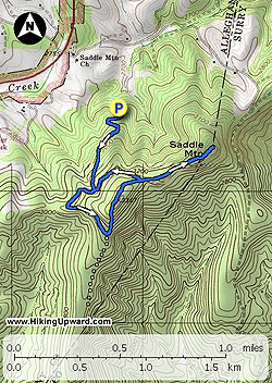
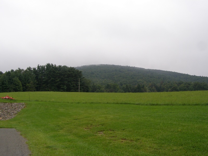
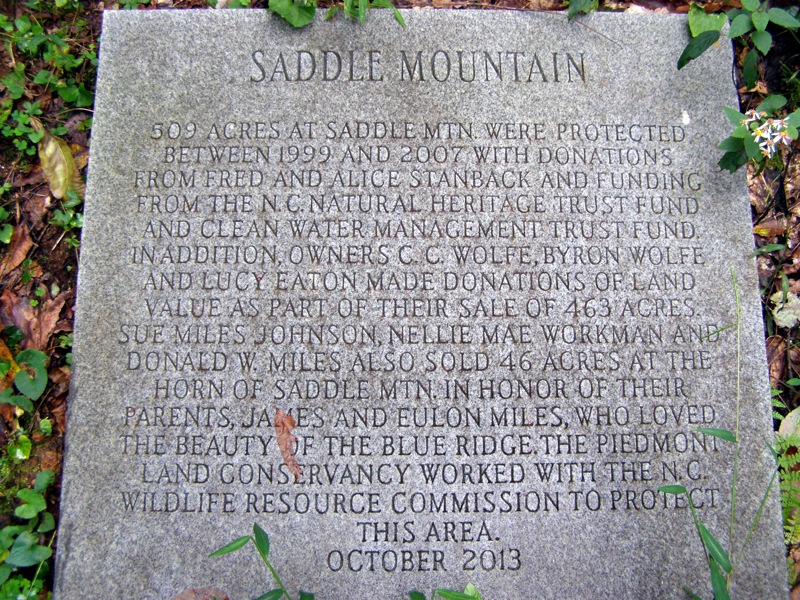
This trail is located in the Mitchell River Game Lands right off the Blue Ridge Parkway a few miles south of Cumberland Knob Recreation Area. The area is part of the Stanback Trails along the Blue Ridge Parkway and was named in honor of Fred and Alice Stanback. Their efforts, along with the state and multiple conservancy groups, have protected multiple tracts in the mountains. The Saddle Mountain Trail is a loop with an out-and-back through mostly forested ridges around Saddle Mountain. You will cross the south summit of Saddle Mountain and the Horn of Saddle Mountain on this trip.
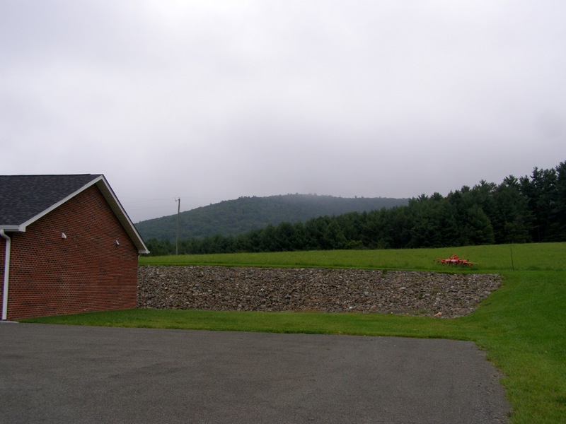
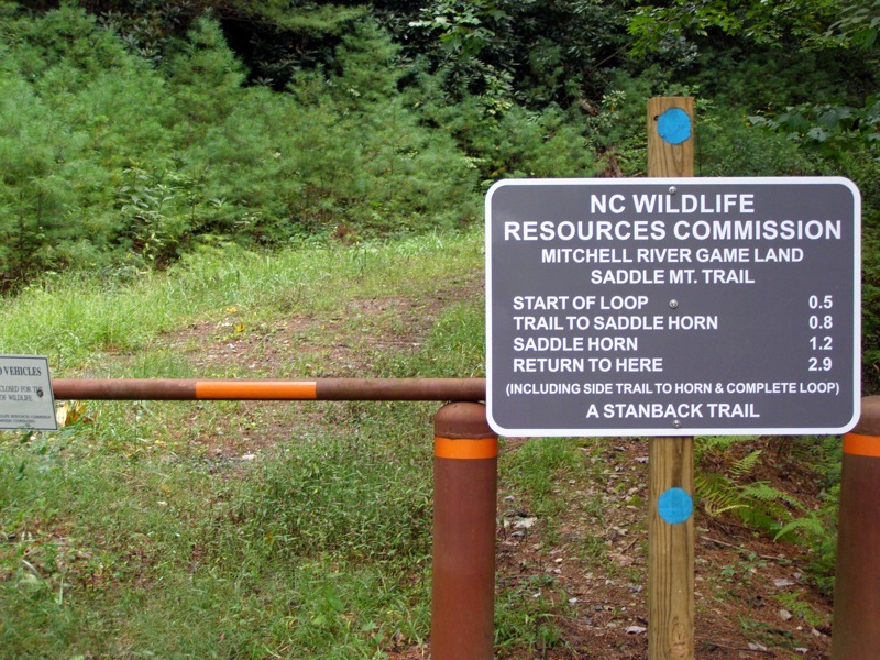
The trail is a short distance off the Blue Ridge Parkway at mile 221.8. Look for Saddle Mountain Rd on the east side of the BRP, there is a church sitting beneath a hill at this turn. Immediately turn right before the church on the unmarked gravel Mountain Lake Rd driving 200 feet and taking a left on the first forest road. This is the game lands road even though there is no sign. Drive approximately 0.5-mi up the game lands road until it ends at a gate with the trail sign. This road is a single lane gravel road that is suitable for 2-wheel drive cars. The grass/median is high in spots so go slow in low-clearance vehicles. The parking area is very small (only the width of 2-3 lanes) and can only fit a few cars. It is probably wise to turn the car facing downhill on the right to allow for maximum space for any incoming drivers.
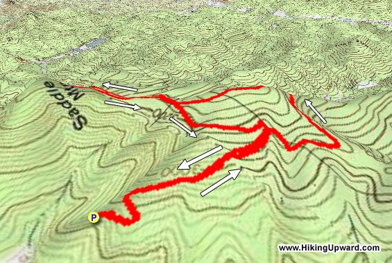
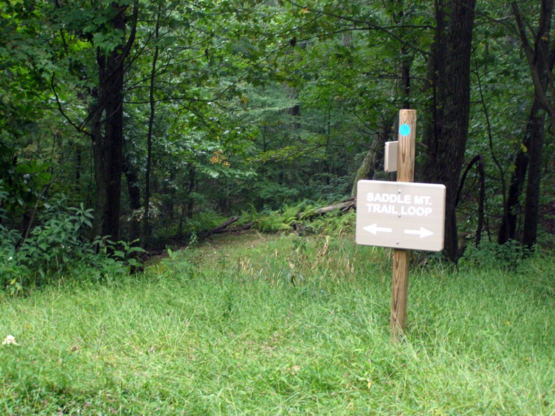
- Mile 0.0 – Begin the Saddle Mountain Trail (blue circle blaze) at the gate. The trail follows the forest road uphill for 0.5 mi.
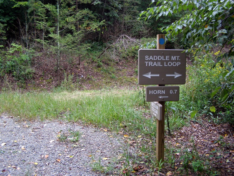
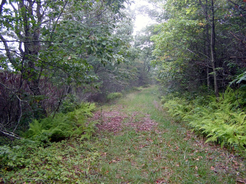
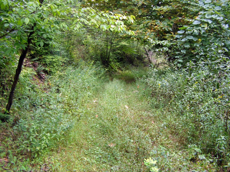
- Mile 0.5 – Intersection with the loop trail. Going left is the more direct route to the two peaks. Go right to take the longer loop trail. From here the forest road can be overgrown with tall grass
- Mile 0.7 – The loop turns left and is marked by a sign. To the right is an abandoned forest road. The loop trail continues its gradual ascent up the mountain.
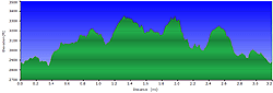
- Mile 1.0 – Loop trail goes left at an intersection. The well-maintained forest road goes straight and downhill. Go left instead and begin a steep 0.2-mi ascent up Saddle Mountain. You will see blue circle blazes uphill.
Note: Do not go straight and take the obvious forest road downhill. There are no views and this road continues for miles down the ridge into the game lands.
- Mile 1.1 – The steep section ends amidst a myriad of cross-cutting forest roads and trails. Bear slightly left to continue the loop on a flat, grassy forest road across the summit of Saddle Mountain.
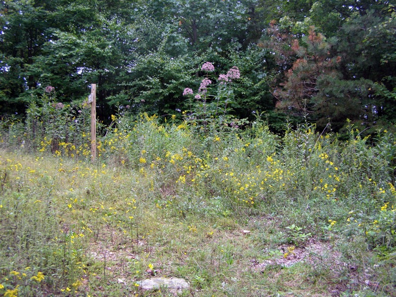
- Mile 1.3 – After a slight downhill the loop trail intersects with a spur trail to the Horn of Saddle Mountain. A stone plaque commemorates the donation of this tract to the conservancy. Go right on the spur trail which changes from a forest road to a single-file dirt trail.
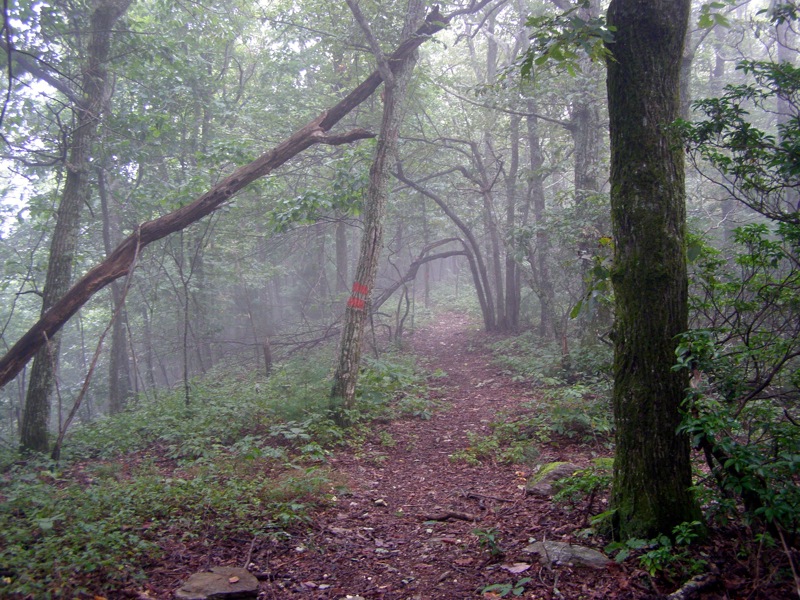
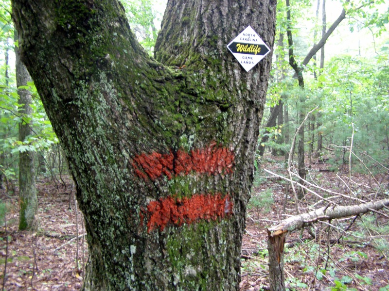
- Mile 1.5 – Boundaries for the Mitchell River Game Lands are marked with double red blazes on the left side of the trail.
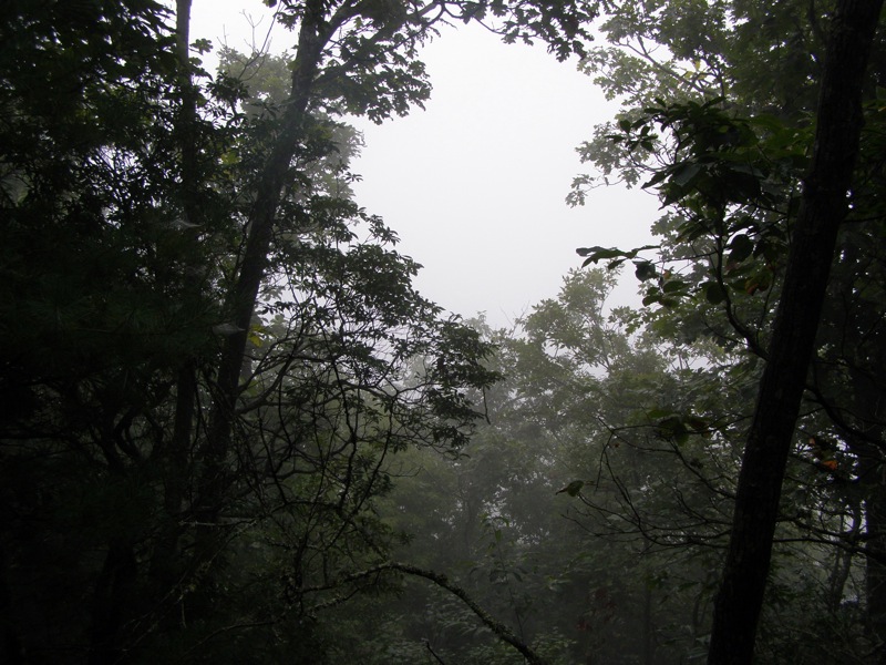
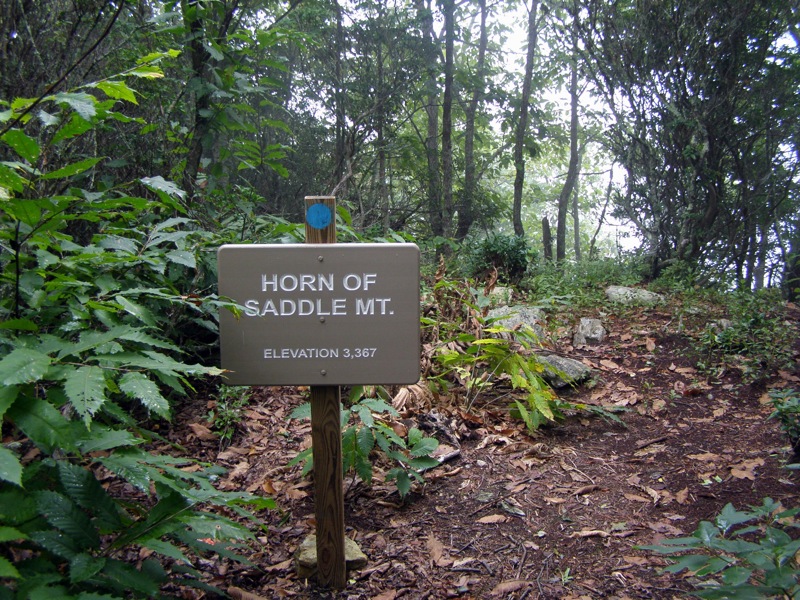
- Mile 1.7 – Reach the Horn of Saddle Mountain summit (3,367 feet). There is a slight gap in the trees ahead looking north that may contain a view if the author didn’t hike this in the clouds. To the left it looks like a seldom-used trail is cut into thick shrubs to a view point. Do not take this "trail." It merely follows the game lands boundary downhill and quickly disappears. Turn around to head back towards the loop trail.
- Mile 2.1 – Return to intersection with loop trail, stay right heading down towards car.
- Mile 2.4 – Intersection with trail to parking area, go right heading downhill back to the parking area.
- Mile 2.9 – Hike ends at the road gate.
|
