|
| Length |
Difficulty |
Streams |
Views |
Solitude |
Camping |
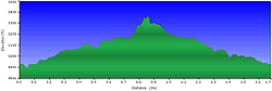
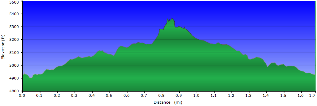
| 1.7 mls |
 |
N/A |
 |
 |
N/A |
Hiking
Time:
Elev. Gain:
Resources: |
1 hour with 15 minutes of breaks
375 ft
 Topo Hike Trails Map (PDF) Topo Hike Trails Map (PDF)
Cruso, NC Weather Forecast
Garmin (GDB), Gaia/Trails App (GPX) (What's
this?)
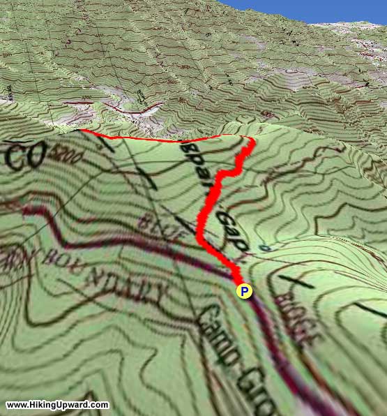
3D
View of Route |
 By Trail Contributor: Zach Robbins (Contact Zach) By Trail Contributor: Zach Robbins (Contact Zach)
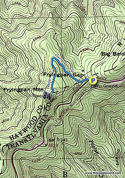
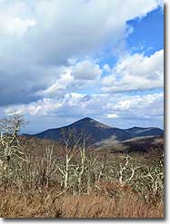
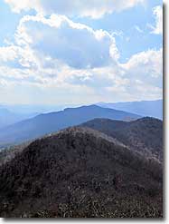
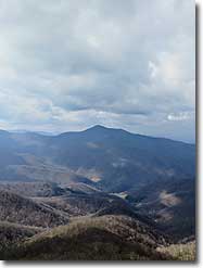
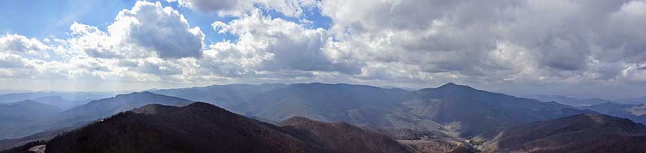
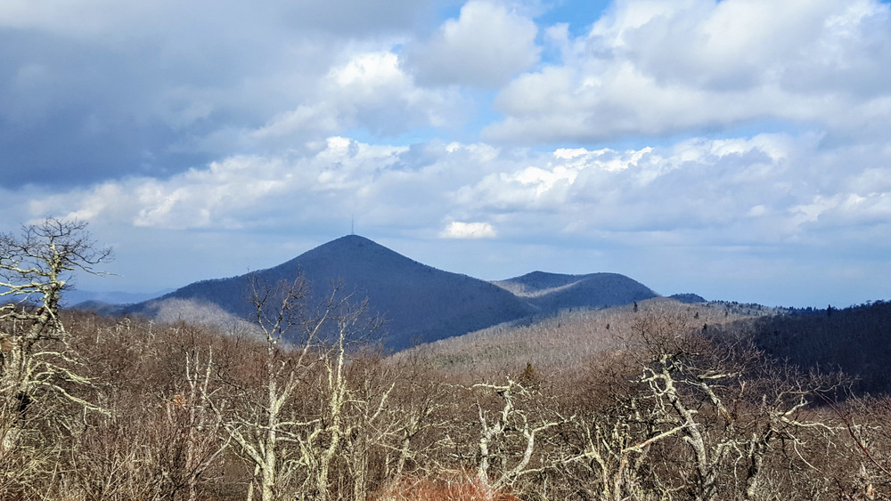
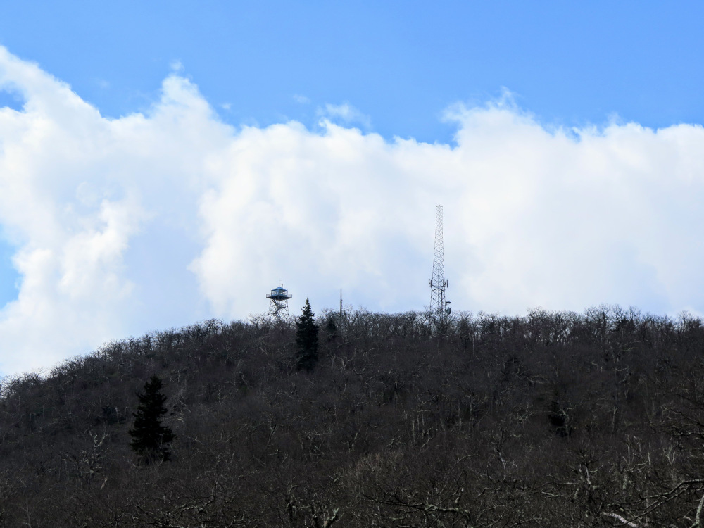
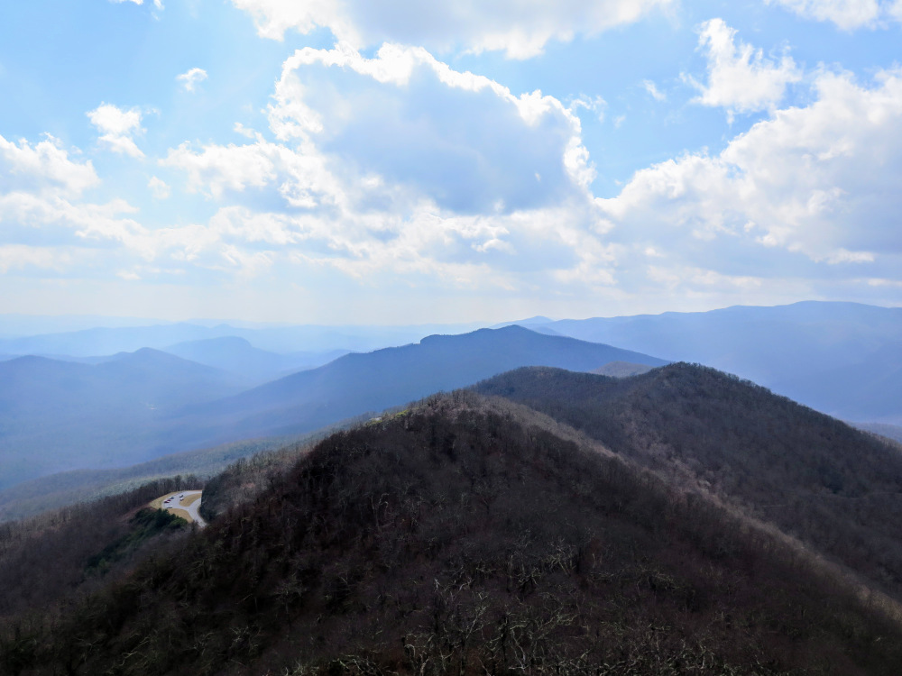
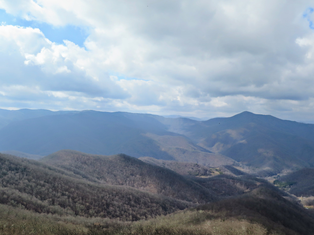
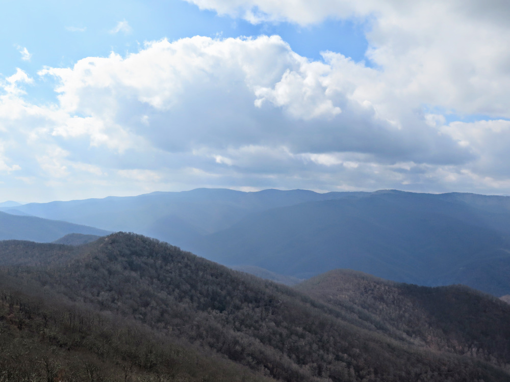
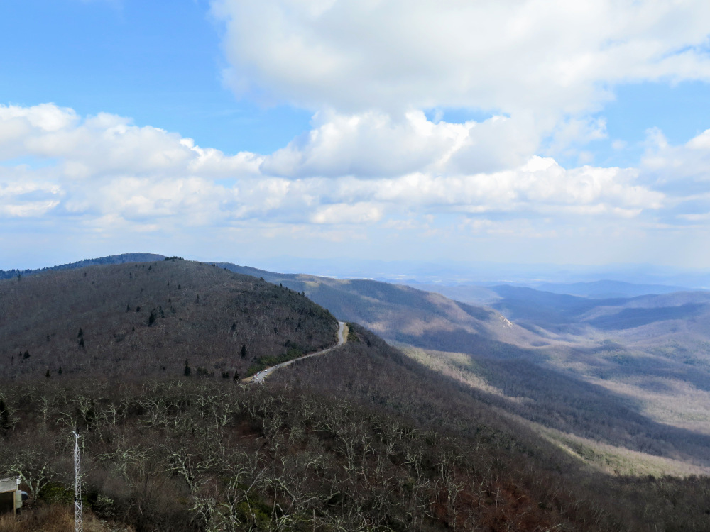
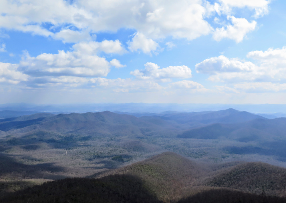
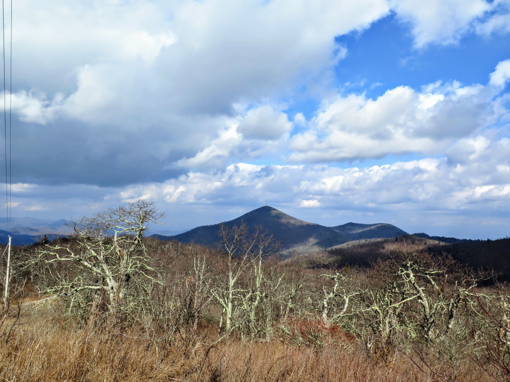
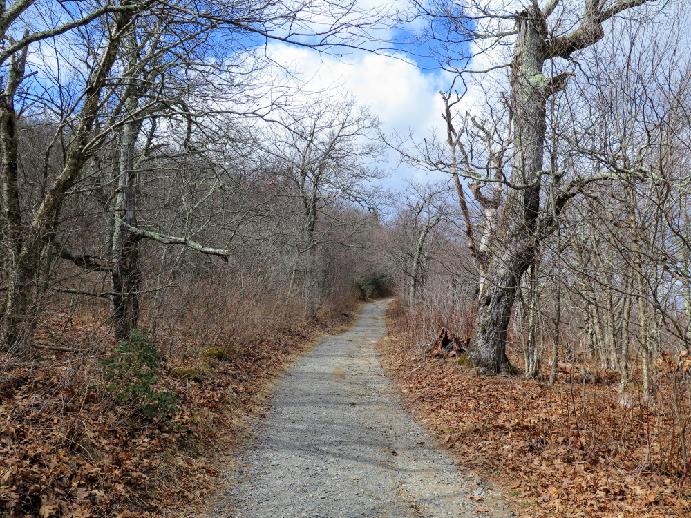
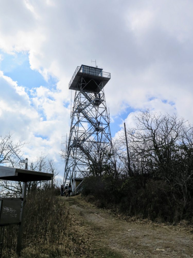
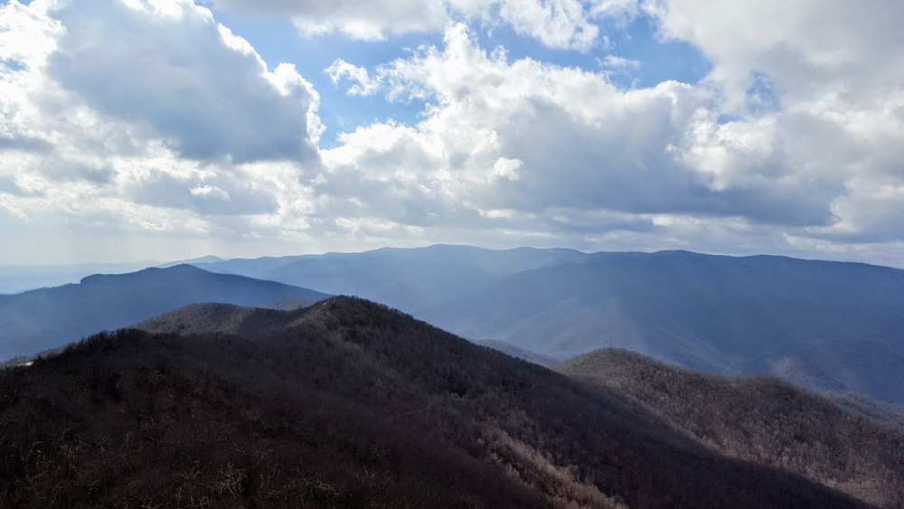
Fryingpan Mountain is home to one of the tallest lookout towers in North Carolina at 70 feet. The mountain, at 5,342 feet, is part of the rugged Pisgah Ridge on the eastern front of the Great Balsam Mountains. This is a short, accessible hike for all ages from Fryingpan Gap on the Blue Ridge Parkway. You can also use a combination of trails emanating from Mount Pisgah Campground or Buck Spring Gap Overlook to create a longer day hike. Although the top cab of the tower is closed, you can still climb the steep stairs to get fantastic views in every direction. You’ll be blown away by the view of the Shining Rock Wilderness to the west, plus the other directions aren’t too shabby. Combined with Mount Pisgah, this short hike is a great way to orient yourself for further exploration of this region.
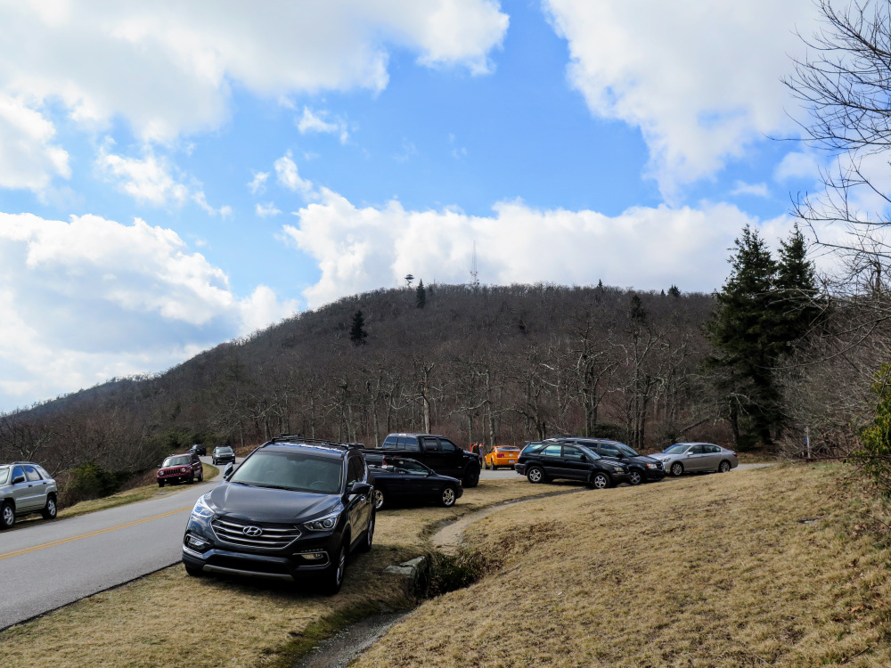
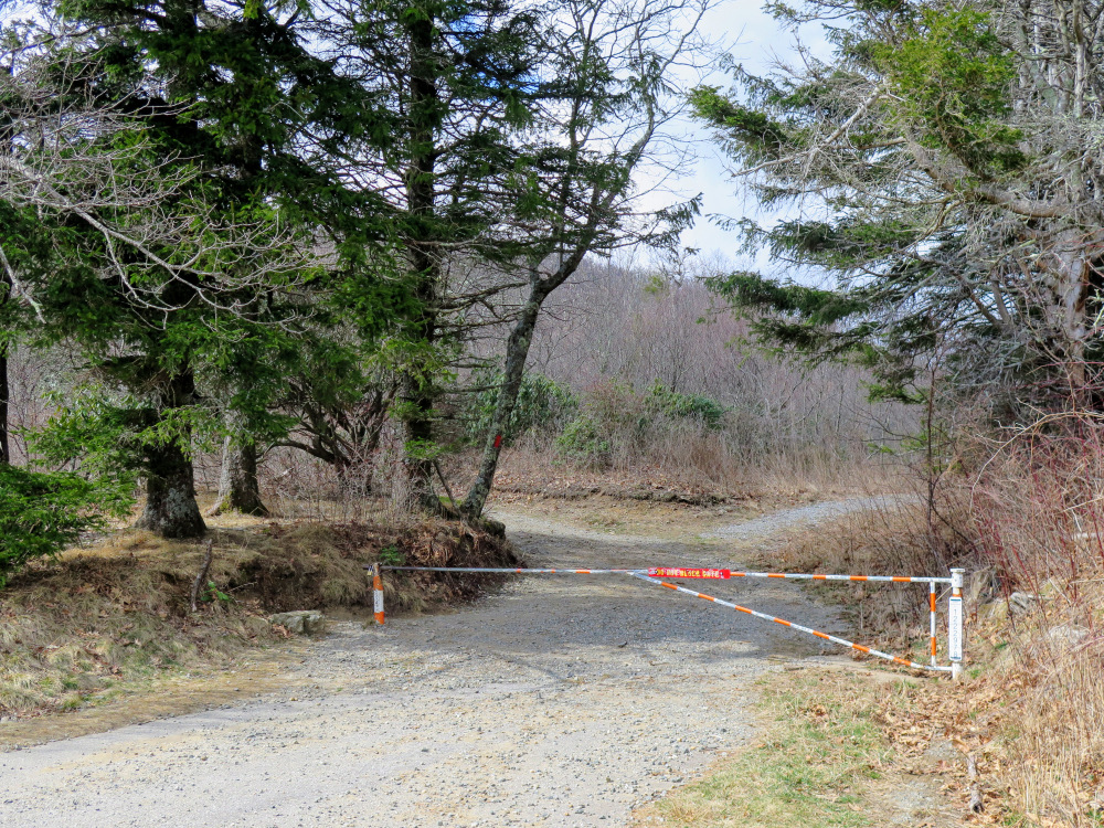
Parking at Fryingpan Gap - Park on the wide, grassy shoulders on the Blue Ridge Parkway around Fryingpan Gap. Do not block the gate. Parking here is limited since there is no parking lot. If the area is crowded, then you may need to park at the Mount Pisgah Campground which will be a 4.2-mile round trip. From the gap you’ll clearly see the lookout tower and communications tower overhead.
|


