Main Hikes Map Virginia Hiking Books Hiking Tips
Mid-Atlantic Forums - Hiking in the Mid-Atlantic Region
White Oak Canyon/Cedar Run Overall Run Little Devils Stairs

Catlett Mountain - SNP, Virginia


   Click for location shots
   Click For Parking/Start locations
   Hike trail
   Other trail

Check out REI!

Check out REI!

Length Difficulty Streams Views Solitude Camping
10.5 mls
Hiking Time:
Elev. Gain:
Links:
Resources:
5.5 hours with a half hour for lunch
2,010 ft
Shenandoah National Park
Printable Topo Hike Map (PDF)
Sperryville Weather Forecast
Graphic Precip/Temp Forecast
Current Weather Radar Loop (Java)
Garmin (GDB), GPS eXchange (GPX) (What's this?)
3D View of Route!
From:

e.g. 12000 Government Center Parkway 22035 or Fairfax VA
The 10 car upper Old Rag parking area is 0.9 miles up from the 200 car parking area on SR600/Nethers Rd.

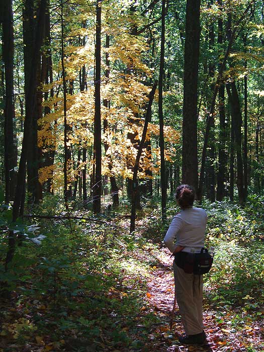
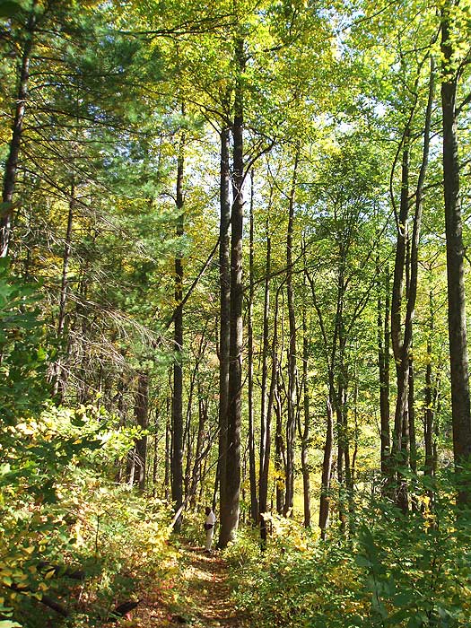
One of the less traveled hikes in the Shenandoah National Park, the Catlett Mountain circuit is one of the most beautiful hikes in the SNP for fall colors. Starting from the same parking area as Old Rag, leave the crowds behind, as you can do this hike and not see another person on the whole circuit.

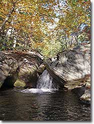
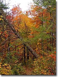
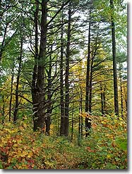
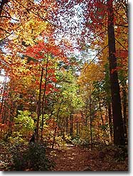
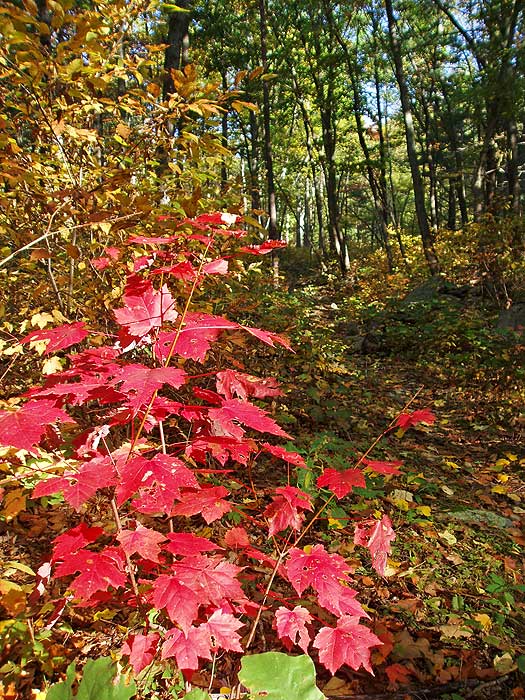
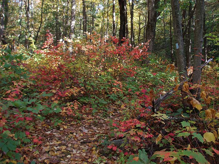
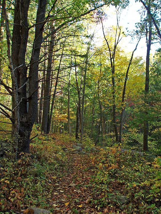
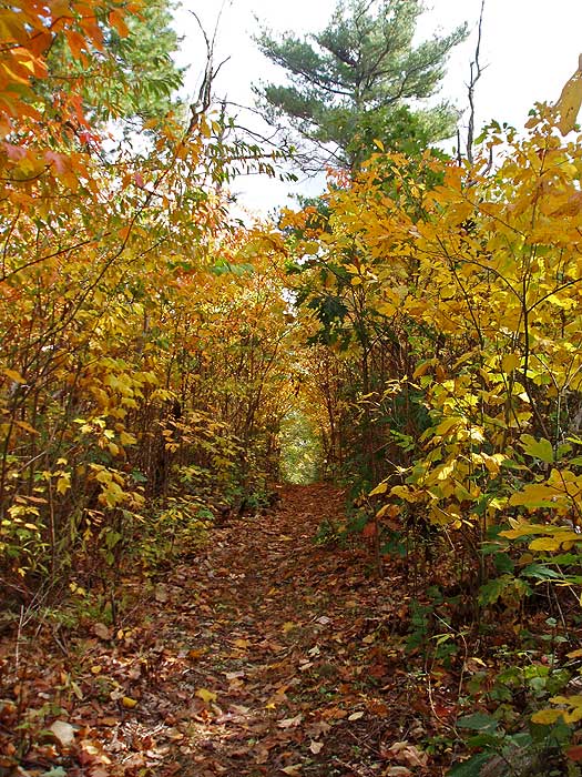
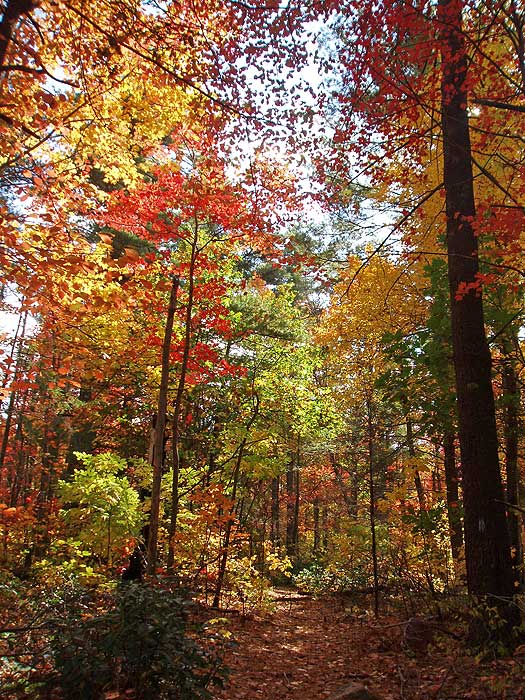
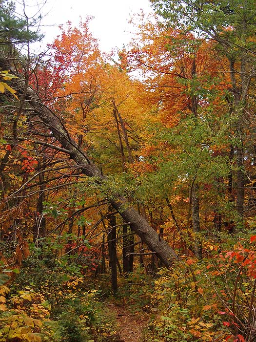
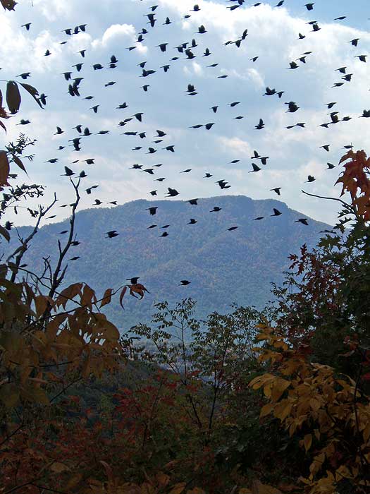
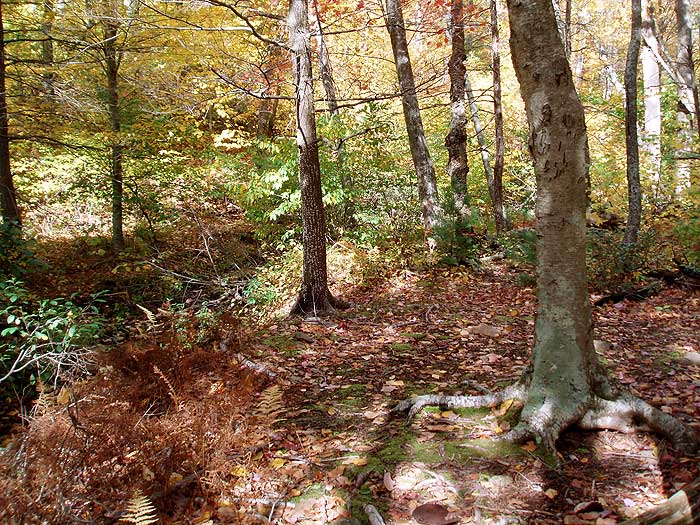
The fall colors explode in yellows, oranges and reds in the upper sections of Catlett Mountain during October. If you're looking for a more secluded hike, and beautiful scenery, this my be the hike for you.

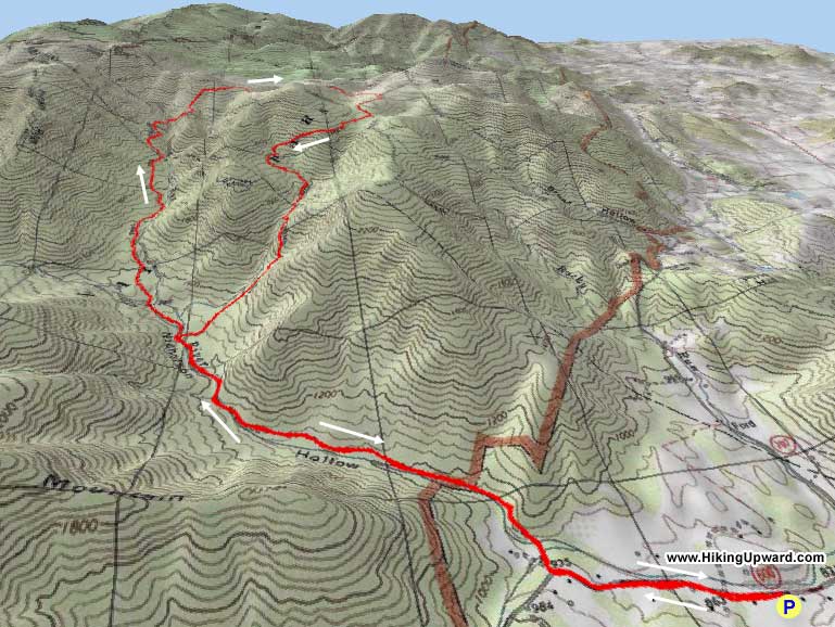
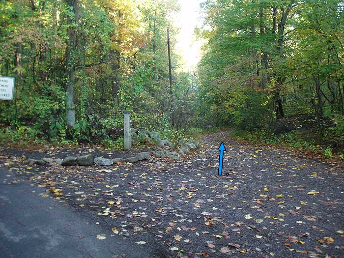
From the lower Old Rag parking area, walk the 0.5 miles up to the Nicholson Hollow Trail turn off where SR600 veers left. From the upper 10 car parking area, walk the 0.4 miles down to the Nicholson Hollow Trail head.

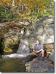
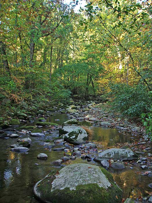
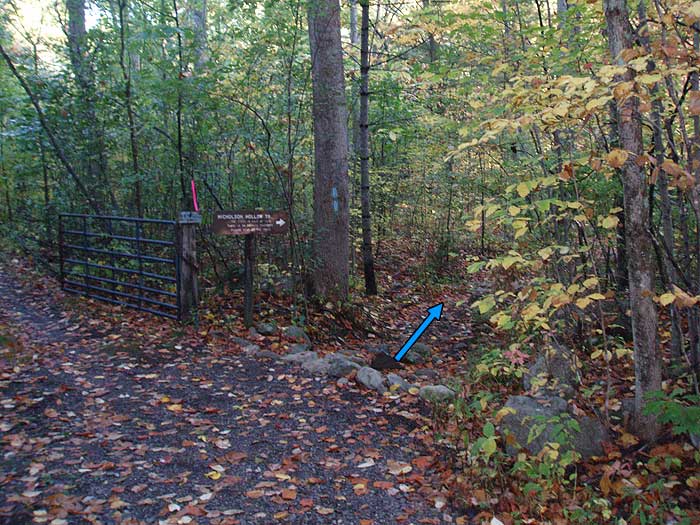
The first 0.5 miles of the blue blazed Nicholson Hollow Trail passes through private property. Please respect the land owners property, and remain on the trail. The Nicholson Hollow Trail will immediately turn right, where in 75 yards it crosses both the Hughes River, and Brokenback Run.

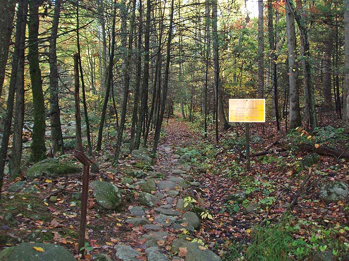
Continue up the blue blazed Trail and in 0.3 miles pass signage marking the entrance to the Shenandoah National Park. Follow the trail as it winds along the right bank of the Hughes River then arrives at the intersection of the Corbin Mountain Trail in 1.0 miles from the SNP boundary.

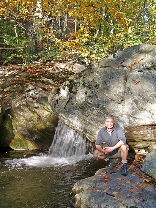
Remain on the Nicholson Hollow Trail, on the right bank of the Hughes River, and in 0.3 miles there is a large camping area on the right. 100 yards past the camping spot reach the intersection of the Hot-Short Mountain Trail.

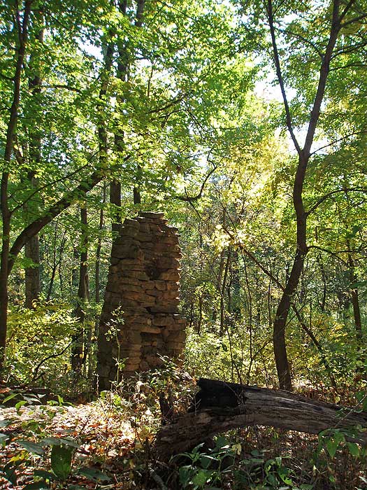
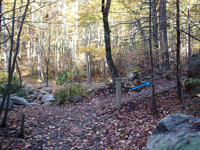
Stay straight on the Nicholson Hollow Trail and shortly cross Hannah Run. 0.2 miles after crossing Hanna Run reach the intersection of the Hannah Run Trail. Turn right on the Hannah Run Trail as it gradually becomes steeper for 1.5 miles, then crosses a small ridge passing the ruins of an old farmhouse. From the ruins the trail will descend through a gully, then very steeply climb the ridge on the other side for the steepest section of the hike.

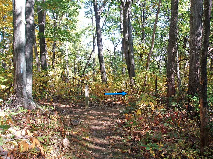
After arriving at the top of the ridge, the Hannah Run Trail will wind through a plateau on Catlett Mountain for 0.4 miles and arrive at the intersection of the Catlett Mountain Trail. Turn right on the blue blazed Catlett Mountain Trail and in 70 yards arrive at the intersection of the Catlett Spur Trail. Turn right remaining on the Catlett Mountain Trail as it descends into a hollow and passes a campsite and creek in 1.0 miles.

From the creek and campsite, the Catlett Mountain Trail will gently climb to the intersection of the Hazel Mountain Trail in another 0.2 miles. Turn right on the now yellow blazed Hazel Mountain Trail for 0.5 miles to the intersection of the Hot-Short Mountain Trail.

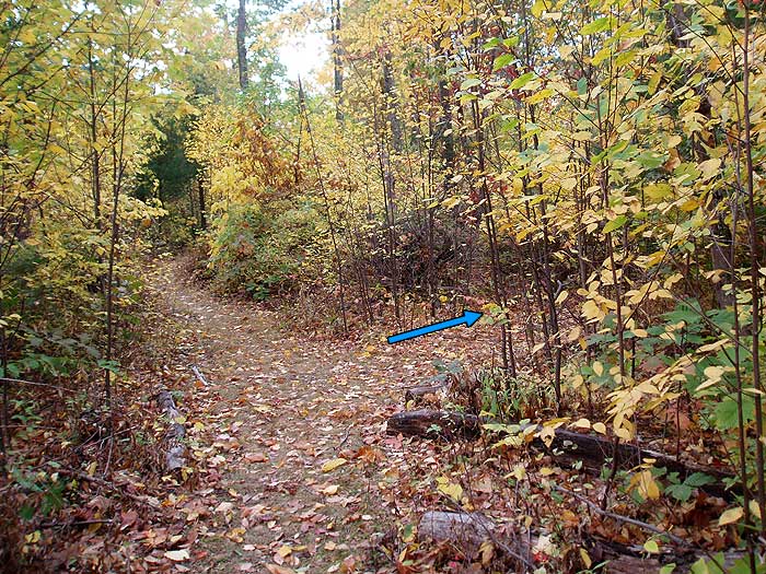
Be alert for the Hot-Short Mountain Trail trail turn-off, as the marker post is set back on the trail 20 yards and not easily visible when the foliage is thick.

Turn right on the blue blazed Hot-Short Mountain 
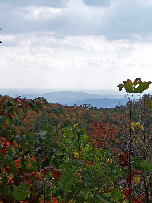
Trail as it descends for 2.1 miles to the Hughes River and intersection of the Nicholson Hollow Trail. Pass several vistas of Old Rag, and the Virginia plains near the top of the Hot-Short Mountain Trail. Then as the trail nears the valley floor, pass through a wooded area before arriving back at the intersection of the Nicholson Hollow Trail.

Turn left on the Nicholson Hollow Trail, passing the Corbin Mountain Trail in 0.3 miles, then re-crossing the Hughes River and Brokenback Run in another 1.3 miles before arriving back at the trail head.

Interactive Hike Map Below Printable Topo Hike Map (PDF)
Hike route in   Drag the map with your mouse using the icon Zoom with the controls on the left
Click the icons in the map below for location shots


Calculate roughly how many calories you could burn on the Catlett Mountain hike:

=
Hiker Reviews For The Catlett Mountain Hike (5 Most Recent)
Review the Catlett Mountain hike here!   Average Review Rating:

By: Rating: Date of Hike: Thursday, May 01, 2008
Did this hike on a early Thursday afternoon. As I arrived at the Old Rag parking #1 I notice more than expected cars and people, but as this site said you leave them all behind on this hike. This hike had everything.  Streams, rivers, views, camping, waterfalls, solitude.  You get to cross rivers and stream (I never got wet).  Hannah Run was tough with the steep climb.  My only mishap was when I ran into a stray dog after I turned turned right on the blue blazed Hot-Short Mountain.  This cause me to go off the beaten’ trail for awhile (long story, e-mail if you want the whole story).  I loved hiking along the Hughes River.  As you walk along Hannah Run you can't help to think about what kind of history it holds.  To sum it up you get a little bit of everything on this hike.  It is a long hike.  It took me a little over 4.5 hours.  I highly recommend you print out the direction on this site and do the hike .

By: I&K Rating: Date of Hike: Sunday, August 19, 2007

HIked this route on a very nice day for August, high in the low 80's.  It is a really good hike with a good degree of difficulity.  The walk up the river is always plesant and there we very few people on the trail which is always nice.  The walk get seroius when you begin the 2.5 mile climb up the HannahRun train.  It is a constant uphill but follows Hannah Run fow part of the way.  It is always humbling to past the remains of homes that are still visible and to imaging the life the residentents must have had.  Of course as other have pointed out the climb after you cross Hannah Run is a little extreme but it is short.  The 1.3 miles on Catlet Mountian train are nice an rolling.  The decent on Hot Short trail is a long downhill and ar points rugged. (Bad for the knees).

Overall it was a great day.

Thank you to the PACT volunteers that maintain the trails.  Great Job!


By: Rating: Date of Hike: Saturday, November 05, 2005
Our 4-adult, 8-Venturing Scout (ages 13 to18) group did the entire loop, plus .5 mi each way from the lower Old Rag parking lot, in about 7 hours--took it pretty slow with lots of breaks. The Brokenback Run and Hughes River crossings were of no consequence--large boulders across both. Hannah Run crossing equally inconsequential, but more scenic. The climb along Hannah Run Trail starts off easy enough, but gets steeper the closer you get to the crossing. Climb is nothing, though, compared to the one you encounter after crossing Hannah Run. Steep, rocky, no switchbacks to speak of, and seemingly never-ending. The Catlett Mountain trail and Hazel Road (which looks more like a trail) are pleasant enough, but Hot-Short Mountain trail starts the long decent back to the Hughes River. Though not as steep as the Hannah Run Trail, there are no switchbacks and lots of ankle-twisting loose rocks. There is evidence of pre-depression era mountain settlements throughout, including a rock & mud chimney at the top of Hannah Run Trail. Along Hot-Short Trail, though, there are stonewalls, foundations, and a portion of the trail is lined with rock walls on either side. There is still evidence of the 2003 fire everywhere. Most scenic spots were (1) along the Hughes River, (2) the decent to Hannah Run, (3) and the steep left side of the Hot-Short Mountain Trail. It's an enjoyable, solitary hike, but challenging and very strenuous at points. Recommend reading Survey of Rural Mountain Settlement at http://www.nps.gov/shen/3b1c3.htm.

Mid Atlantic Forum (5 Most Recent)
Subject
Replies
Views
Allegheny Trail
1
41
Tinker Cliffs Hike
1
199
Humpback Rocks Hike
0
155
How to deal with a rainy weekend?
1
290
Mount Rogers Backpacking Trip
7
768

    Post new topics and view all messages in the Mid Atlantic forum

Mid October
about us | | home page | terms of use | © 2000 - 2008