|
| Length |
Difficulty |
Streams |
Views |
Solitude |
Camping |
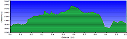
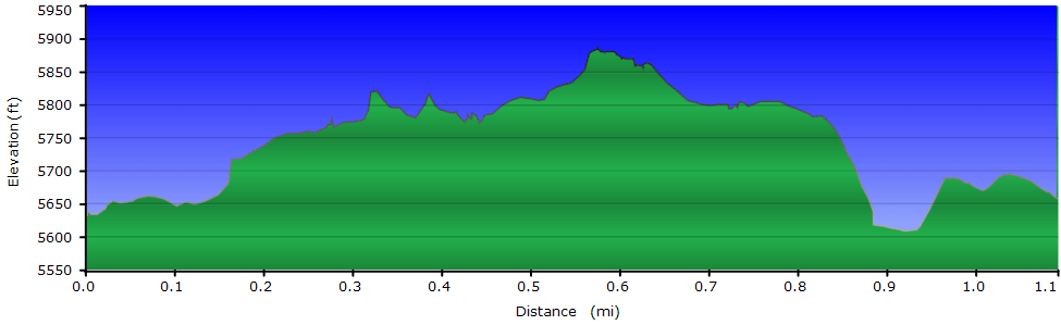
| 1.1 mls |
 |
N/A |
 |
 |
N/A |
Hiking
Time:
Elev. Gain:
Resources: |
45 minutes
230 ft
 Topo Hike Trails Map (PDF) Topo Hike Trails Map (PDF)
Weaverville NC Weather Forecast
Garmin (GDB), Gaia/Trails App (GPX) (What's
this?) |
 By Trail Contributor: Zach Robbins (
Contact Zach
) By Trail Contributor: Zach Robbins (
Contact Zach
)
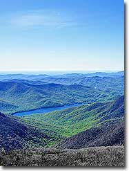
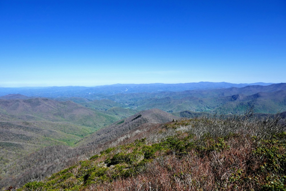
Craggy Pinnacle is considered one of the most scenic, short hikes along the entire length of the Blue Ridge Parkway. Located 40 minutes northeast of Asheville, this crown jewel of the Great Craggy Mountains features spectacular 360° views from the stone observation deck on its summit. From the airy heights of this dramatic heath bald you’ll be able to pick out all of the highest ranges in North Carolina and Tennessee, including the Black Mountains and Great Smoky Mountains. Because of its proximity to Asheville, views, and lack of difficulty, this hike is popular and will likely be overrun on the weekends. Try to arrive early or hike on a weekday to avoid crowds.
This section of the Blue Ridge Parkway is closed normally during winter due to ice and inclement weather. Check the road closure website for alerts and the real-time closure map.
Nearby hike options:
Big Butt Trail | Douglas Falls and Craggy Gardens | Snowball Trail
-
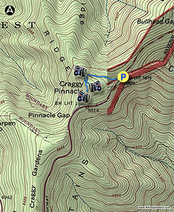
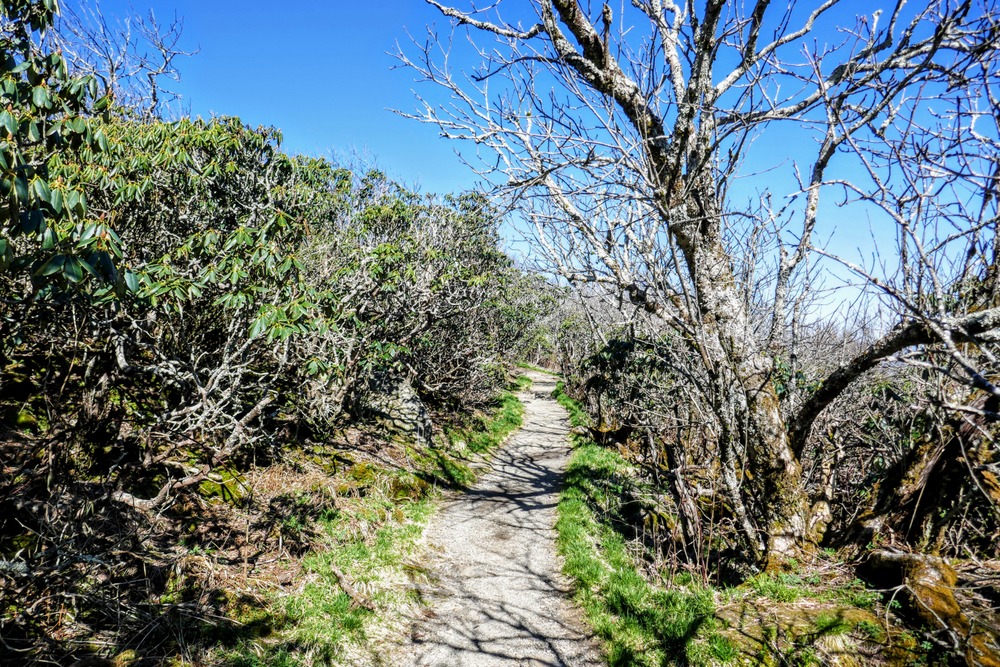
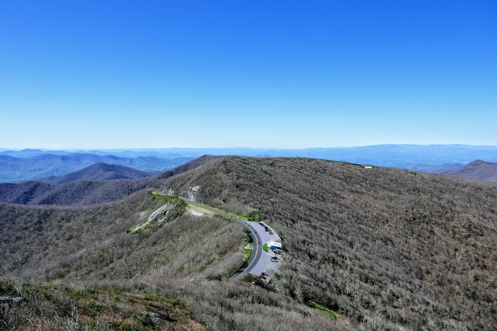
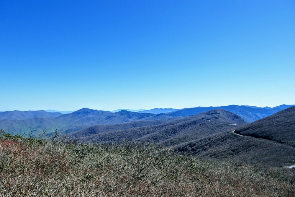
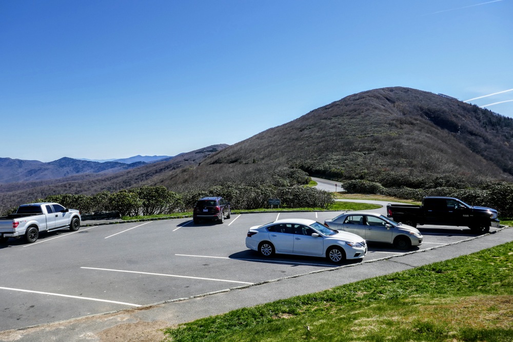
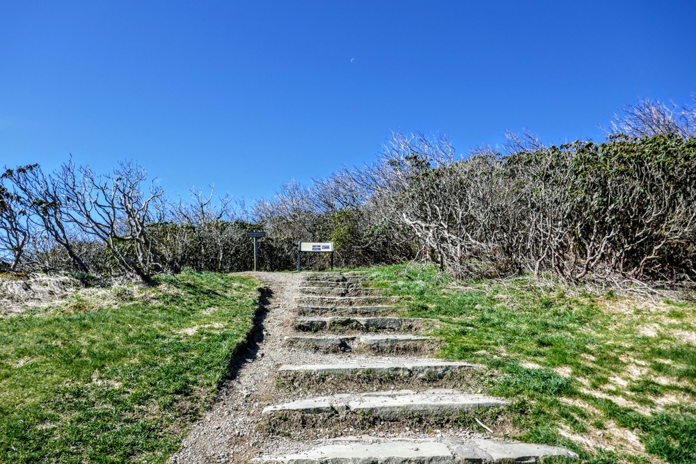
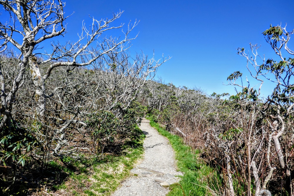
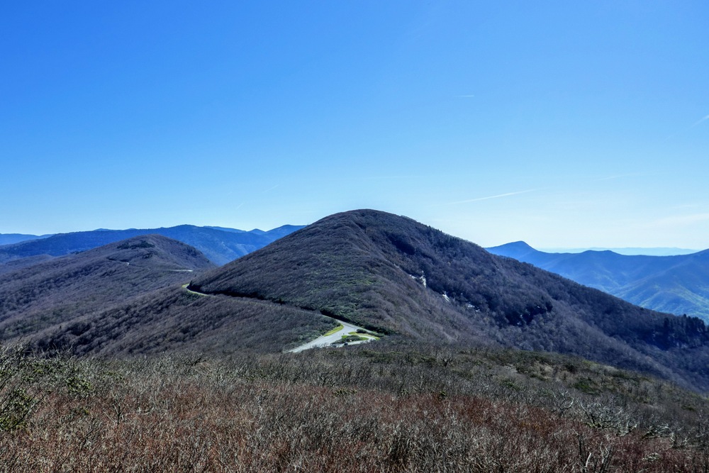
Mile 0.0 – Park at the Craggy Dome Overlook and follow the Craggy Pinnacle Trail towards the summit. The trail passes by dense stands of gnarled northern hardwoods and Catawba rhododendrons, which bloom spectacularly in June and draw huge crowds.
-
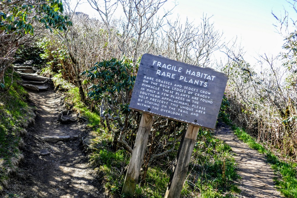
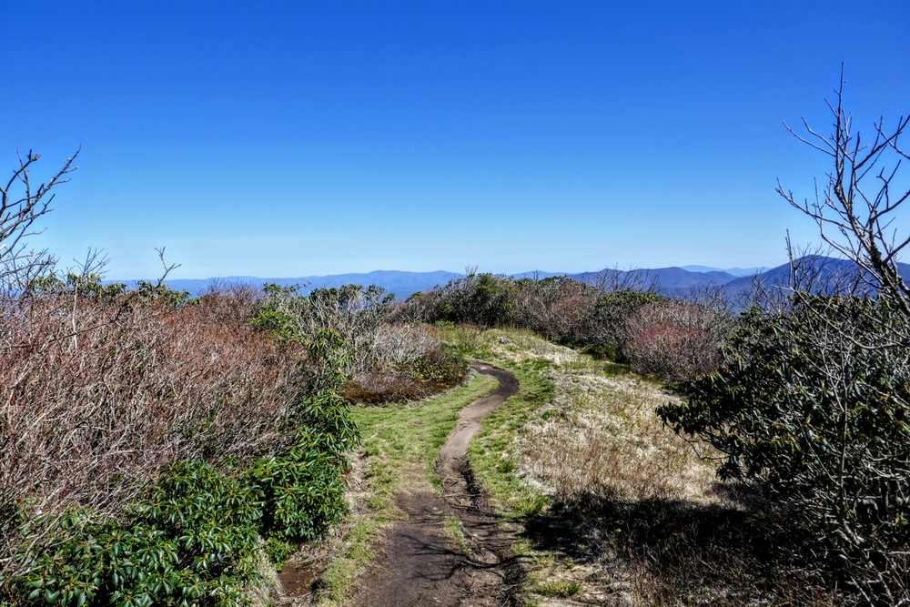
Mile 0.3 – Three-way trail junction below the summit. The trail on the left leads to the summit and the trail behind you leads to the north overlook. Veer right to see the south overlook.
-
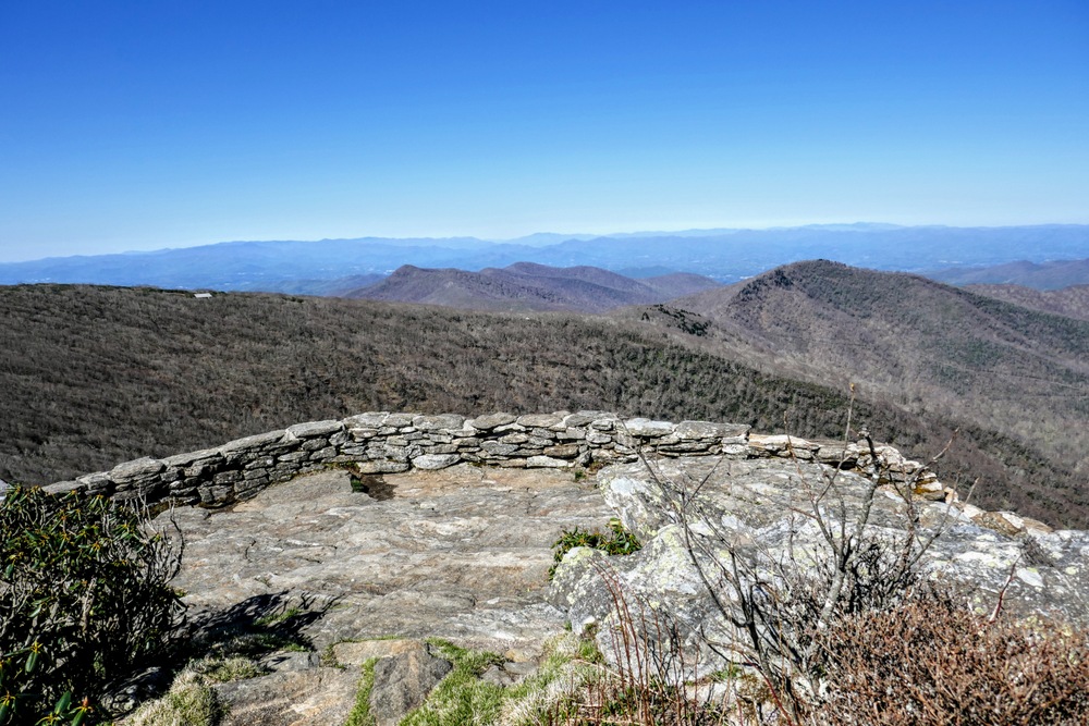
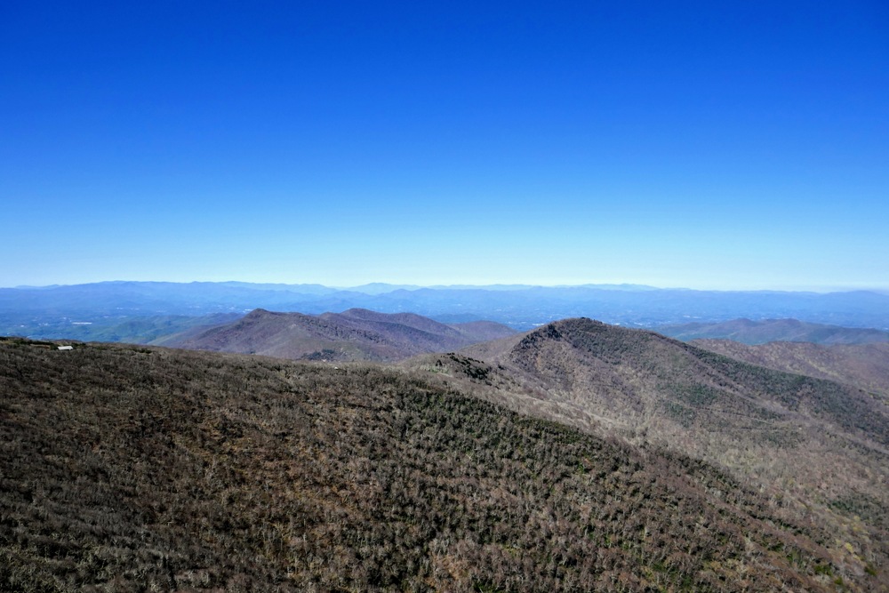
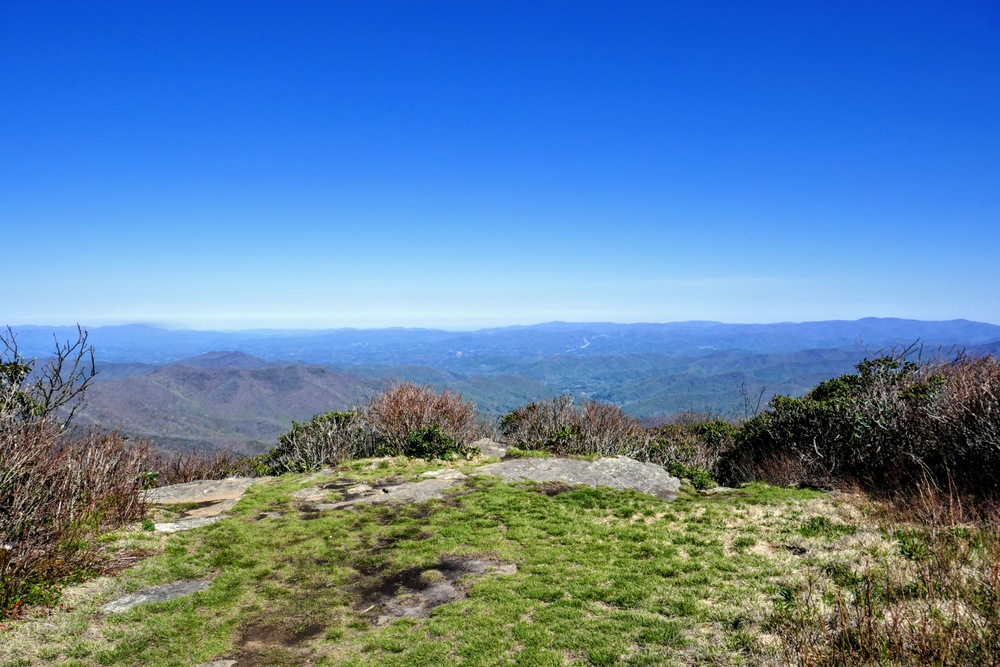
Mile 0.4 – Trail ends at a wide, stone observation area with panoramic views south and west. A couple hundred feet below the overlook is the Craggy Gardens Visitors Center with Craggy Gardens rising above. The views from here are indistinct from the summit, but you may get a respite from the crowds.
-
Mile 0.5 – Back at the three-way junction turn right on the trail climbing to the summit.
-
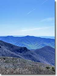
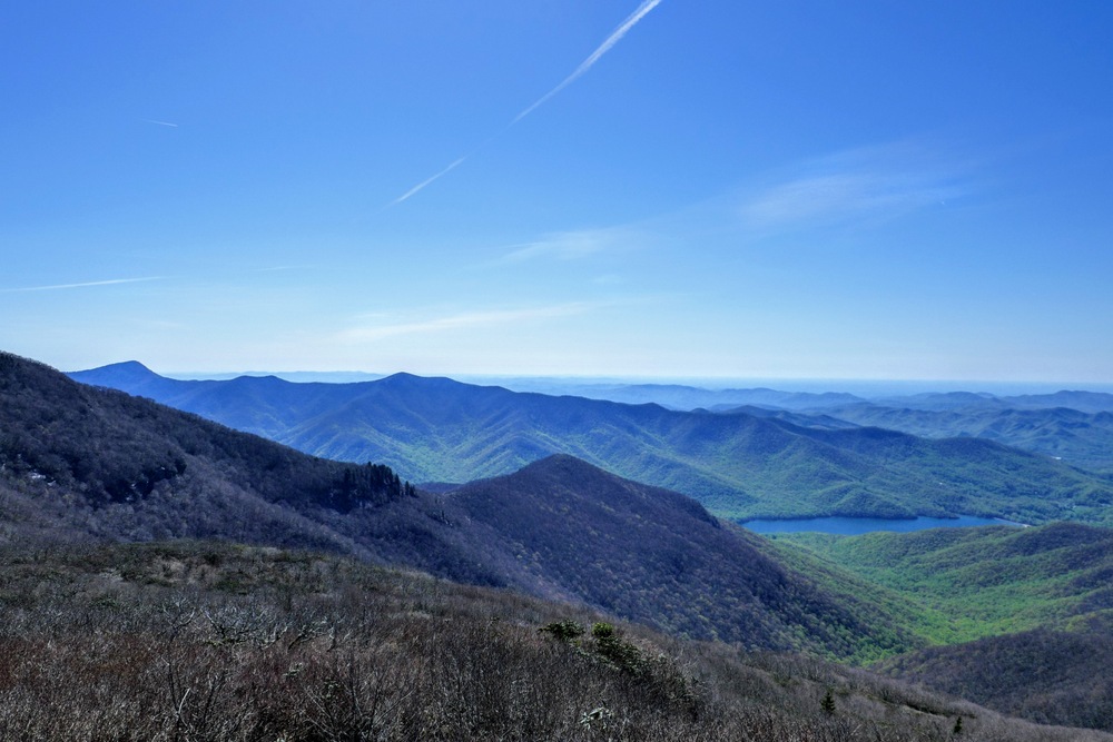
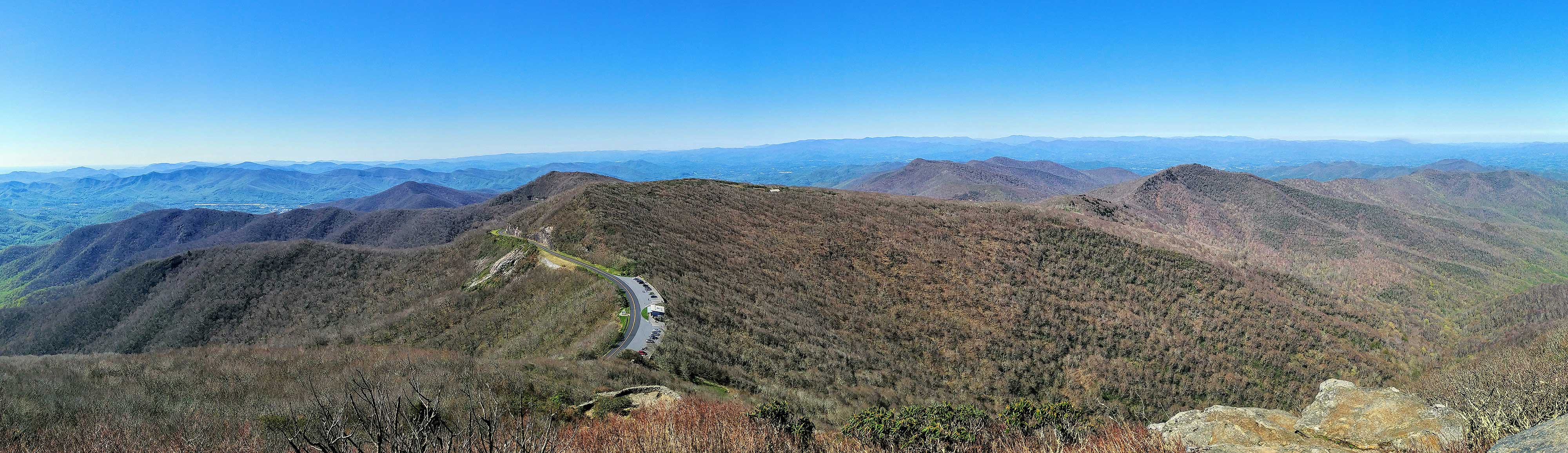
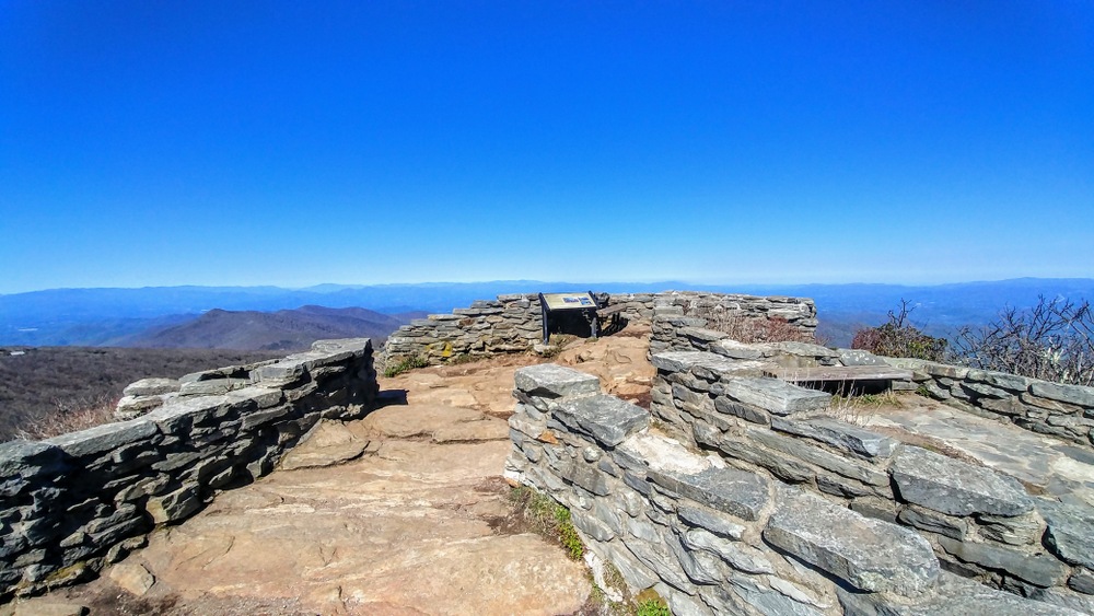
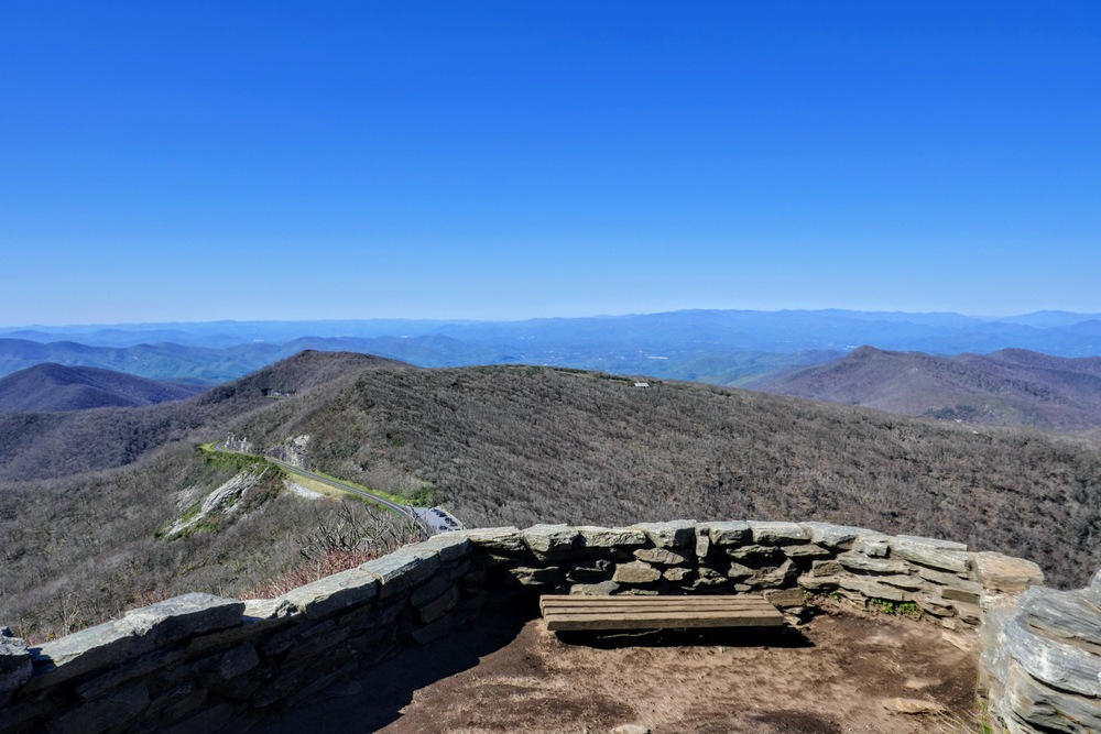
Mile 0.55 – Craggy Pinnacle is the third highest peak in the Great Craggy Mountains (5,892 feet) and its heath bald summit is covered by a massive stone deck affording 360° views.
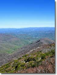
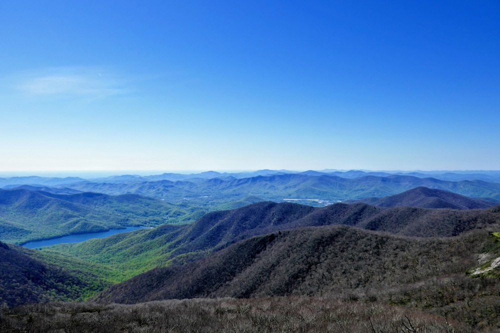
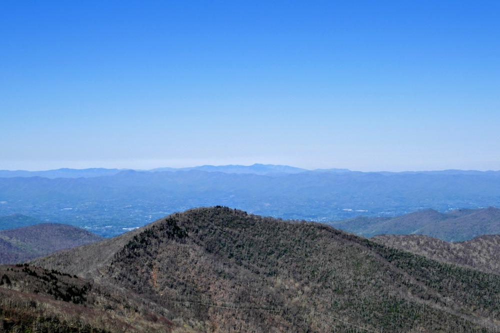
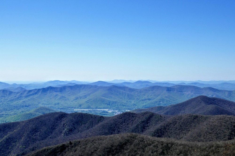
Immediately southwest of the visitors center are the western peaks of the Great Craggies, including Lane Pinnacle and Snowball Mountain. In the distant southwest are the Great Balsam and Plott Balsam mountain ranges. The Great Smoky Mountains span the western horizon, with Mount Guyot the most prominent peak in view. The most striking view from the summit is of Craggy Dome immediately northeast across the parkway, the highest peak in the Great Craggies at 6,100 feet. On the left of Craggy Dome is Bullhead Mountain, the second highest peak in the range with the much higher Blackstock Knob rising behind. Due north the two prominent summits are Big Butt and Point Misery of the Black Mountains. Due east rising above the Burnett Reservoir are Pinnacle, Rocky Knob, and Graybeard Mountain of the Middle Mountain massif. South of the reservoir is Swannanoa Valley, with the Swannanoa and Hickory Nut mountains ranges looming above.
-
Mile 0.65 – At the three-way junction continue straight towards the north overlook.
-
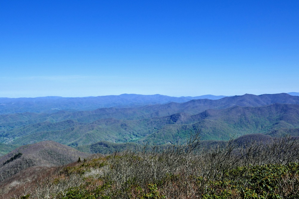
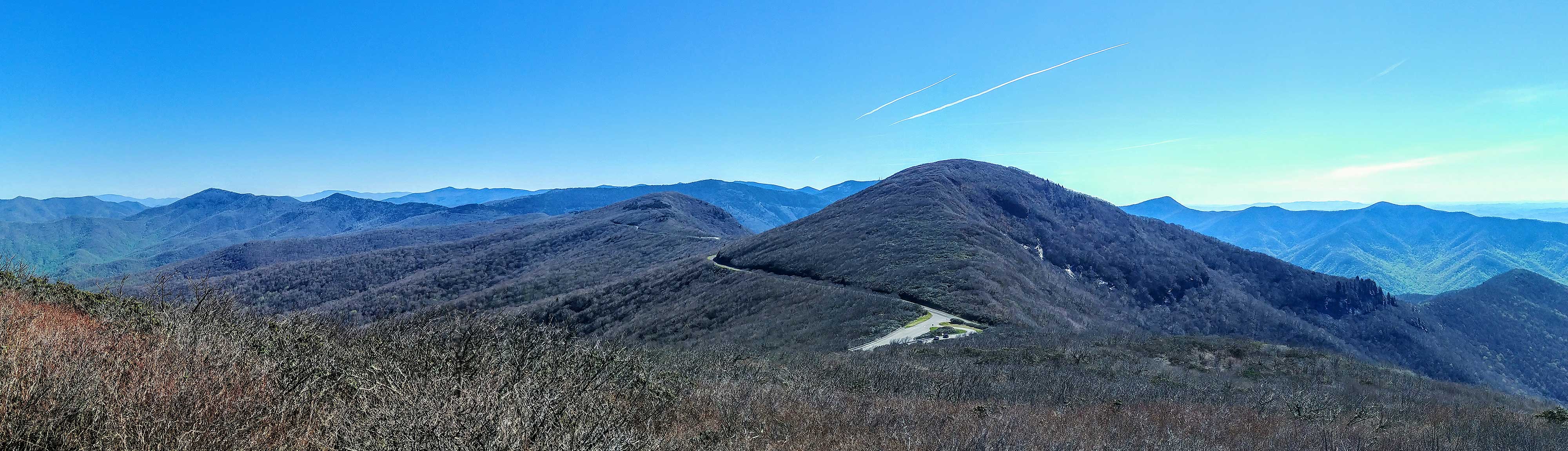
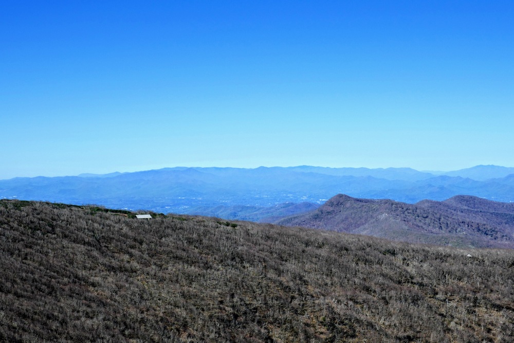
Mile 0.7 – Trail ends at the north overlook, a grassy knoll with tremendous views north of the Bald Mountains. On the right side of your view beyond the northernmost Black Mountains are Big Bald and Little Bald, the two highest peaks in the Bald Mountains.
-
Mile 0.8 – Turn left at the three-way junction to return to the parking area.
-
Mile 1.1 – Hike ends at the parking area.
|
