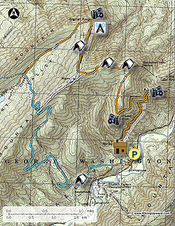
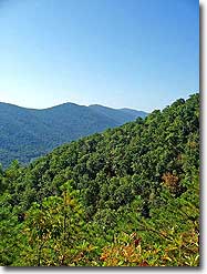
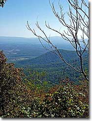
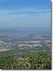
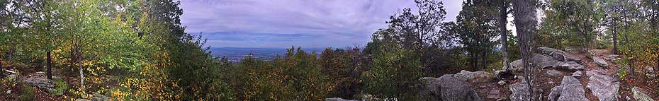
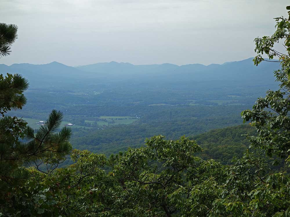
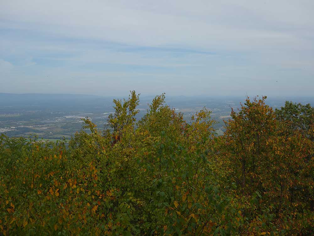
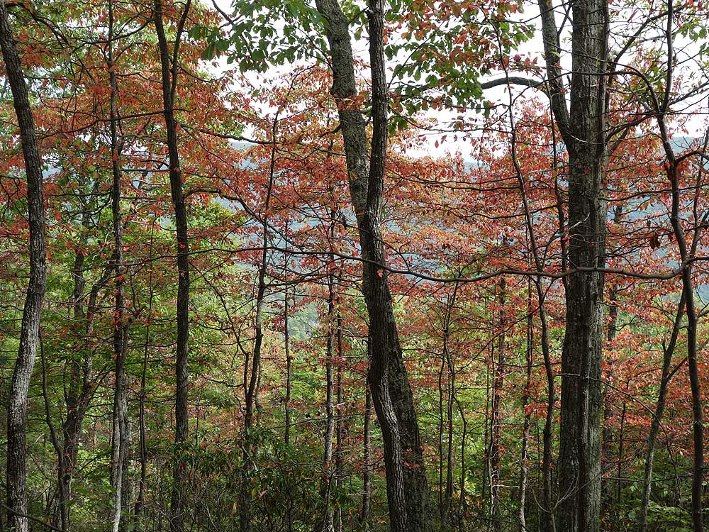
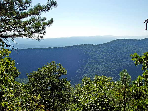
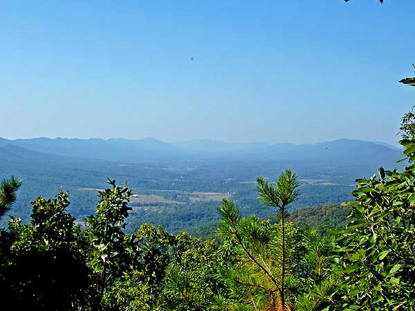
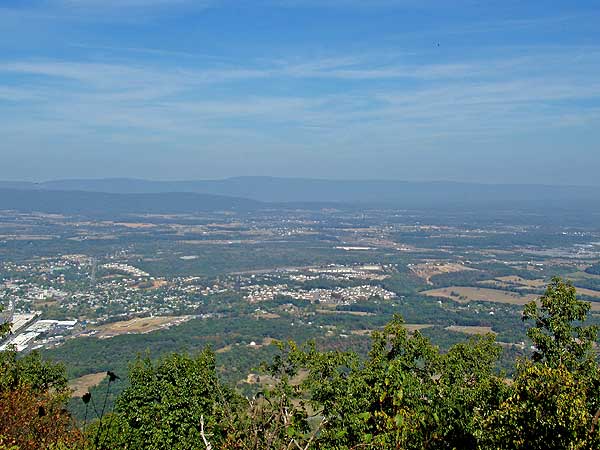
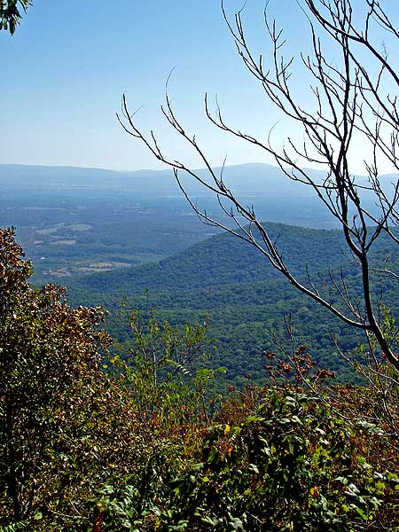
The Signal Knob hike in the George Washington National Forest has spectacular views of Strausburg VA. in the Shenandoah Valley, as well as Buzzard Rock in Fort Valley to the east.
Signal Knob, at 2,106ft, gets its name as both Confederate and Union troops used it as a lookout during the Civil War. The Confederate Signal Corps controlled the outlook from 1862 until August 14, 1864, when Union troops defeated the 61st Georgia Volunteer Infantry and took control of the peak.
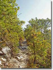
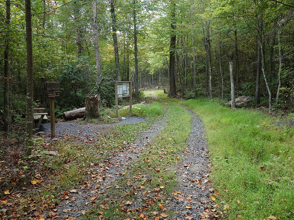
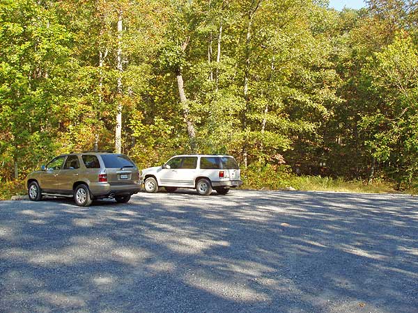
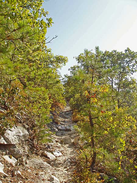
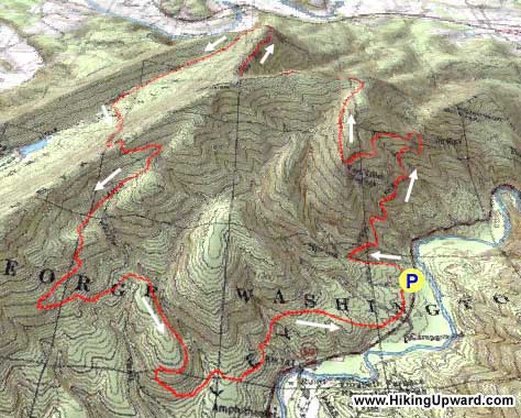
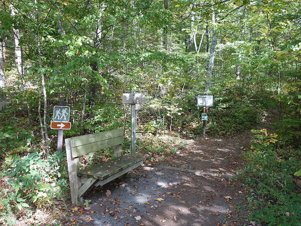
Mile 0.0 - Start the hike from the right side of the Signal
Knob parking area. The trail is blazed orange which designates it as part of the Massanutten Trail. Start uphill
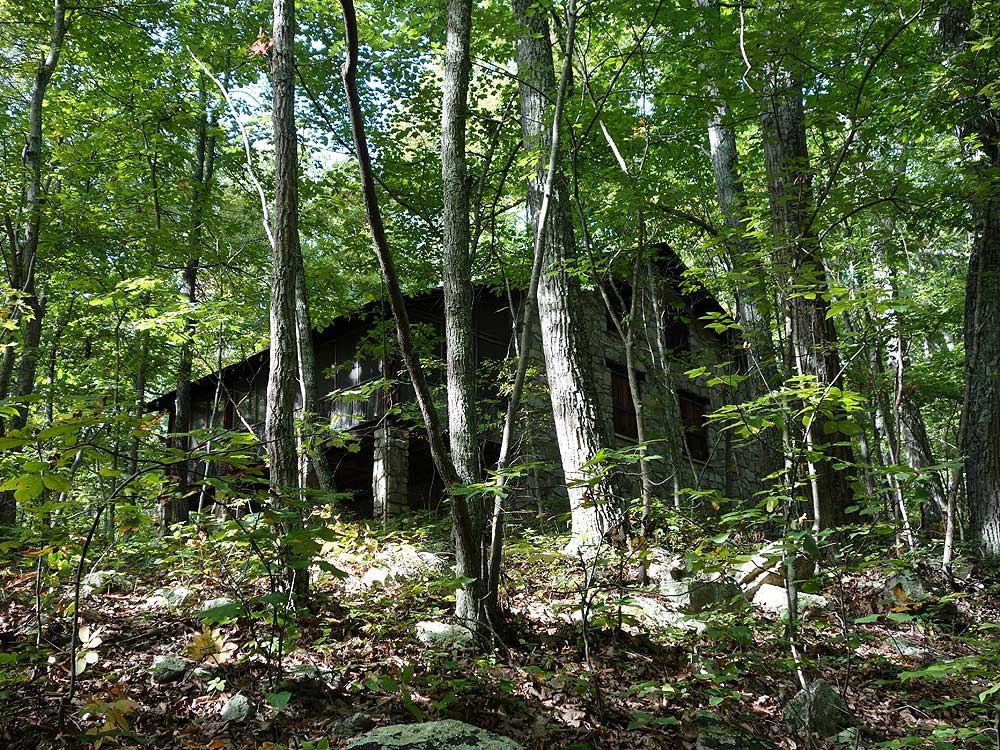
on the orange blazed trail then shortly pass an old
stone house on your left, cross a small stream, then follow the trail around the
eastern section of the mountain.
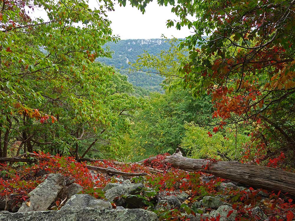
Mile 1.5 - Arrive at the Buzzard
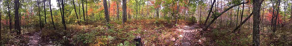
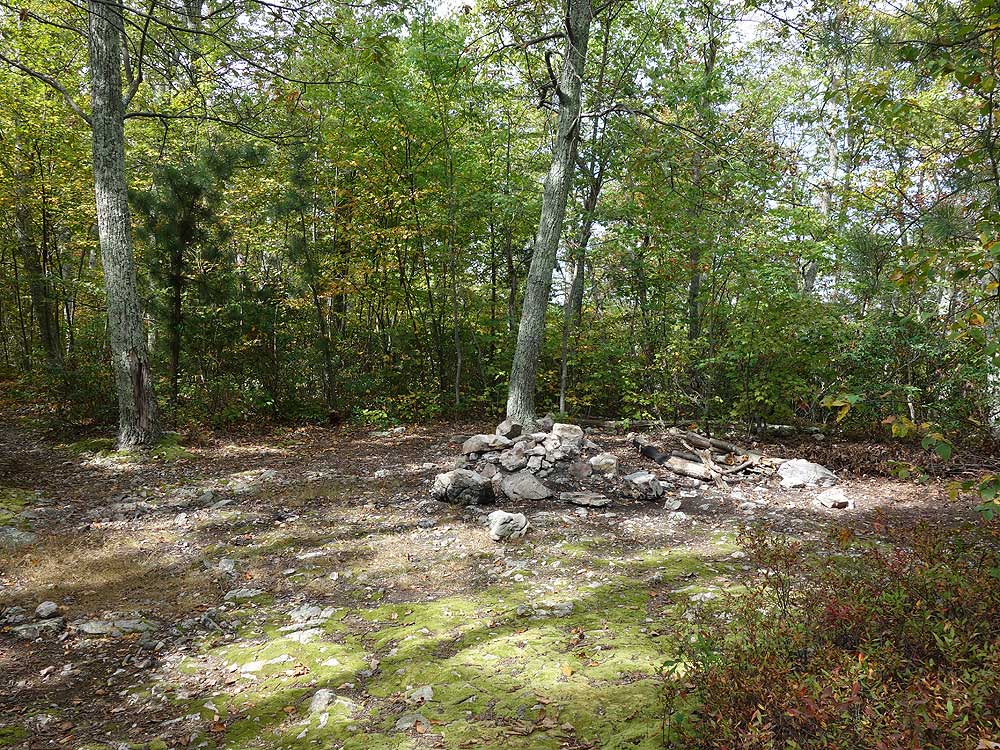
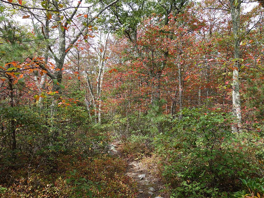
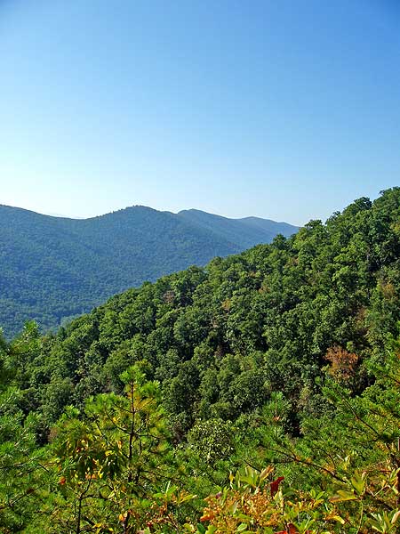
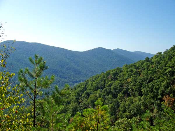
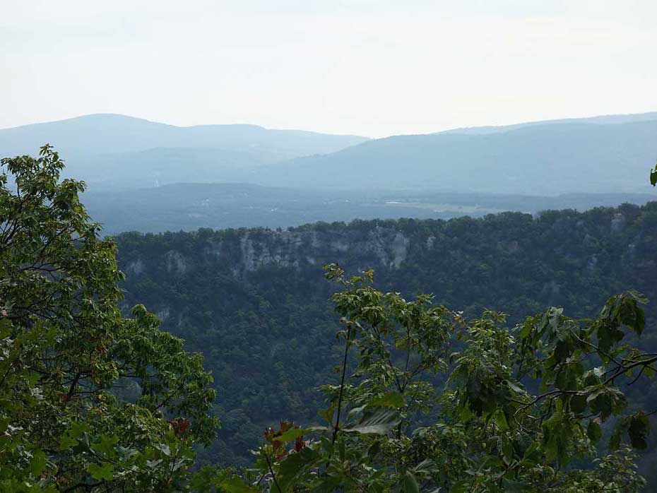
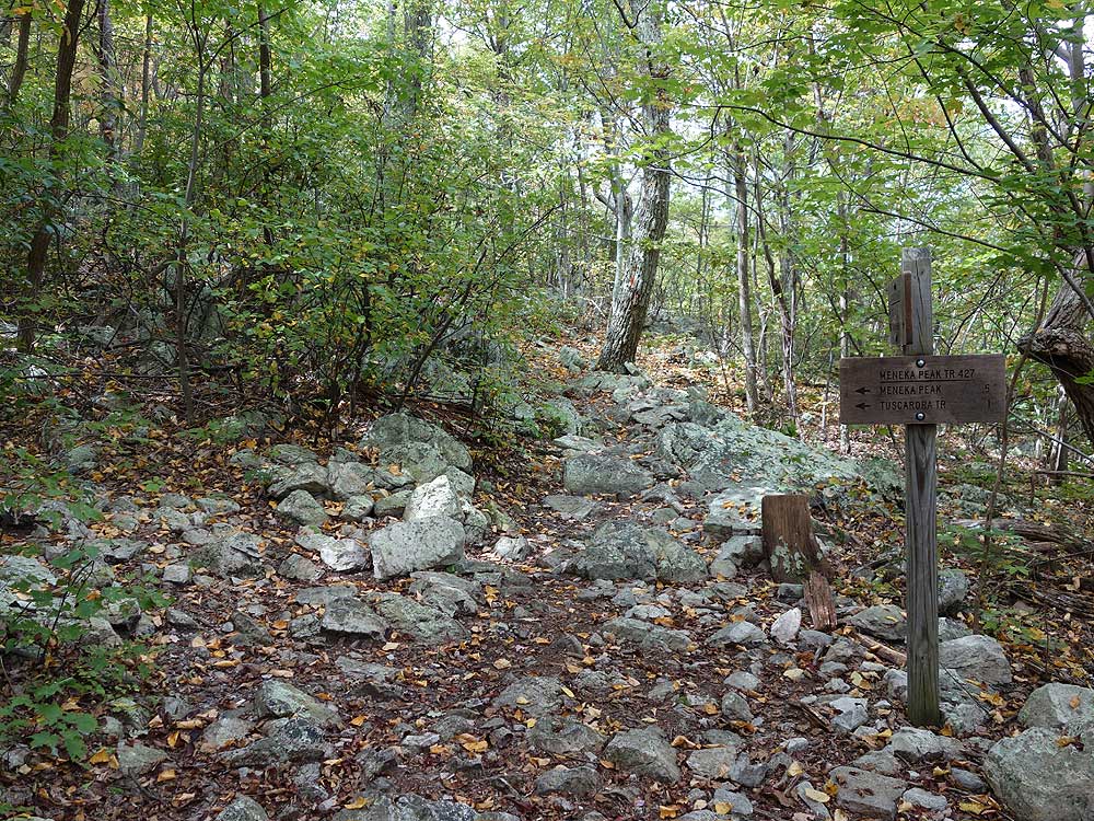
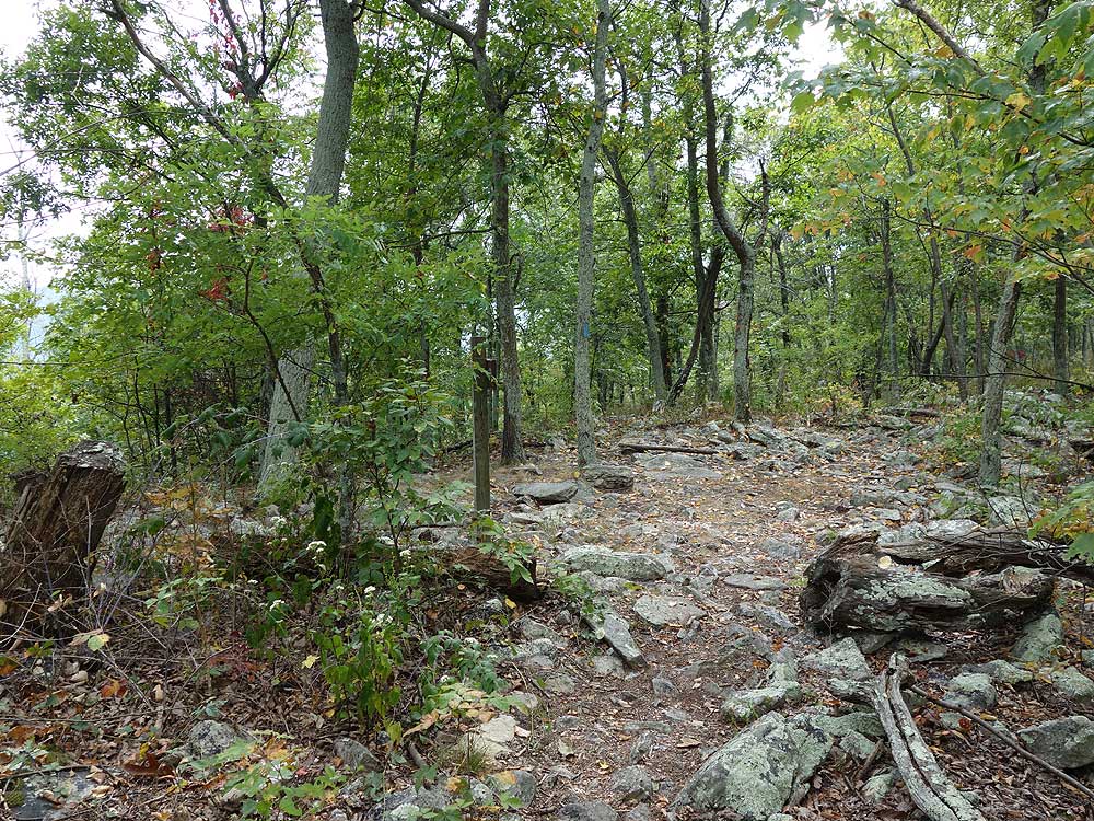
Rock Overlook. The trail will take a hairpin turn back to the south and becomes significantly more rocky. In 0.9 miles from the Buzzard Rock Overlook the trail turns back to the north passing another nice vista of Fort Valley. Continue to follow the orange blazed trail as it becomes less steep, then passes several nice camp spots just before arriving at the intersection of the Meneka Peak Trail.
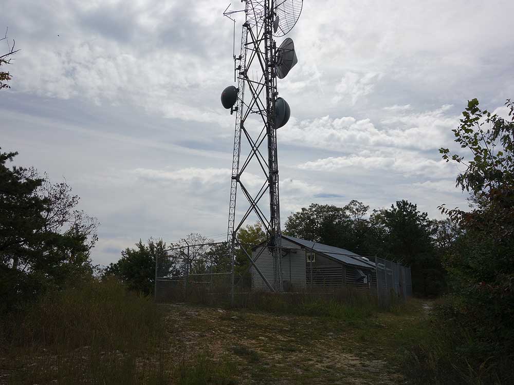
Mile 3.4 - Pass the Meneka Peak Trail on the left, continuing on the orange blazed Massanutten Trail as it winds around the ridge to your
right and passing a transmission tower in another 0.8 miles.
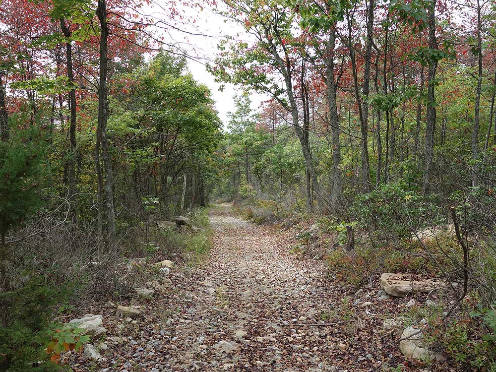
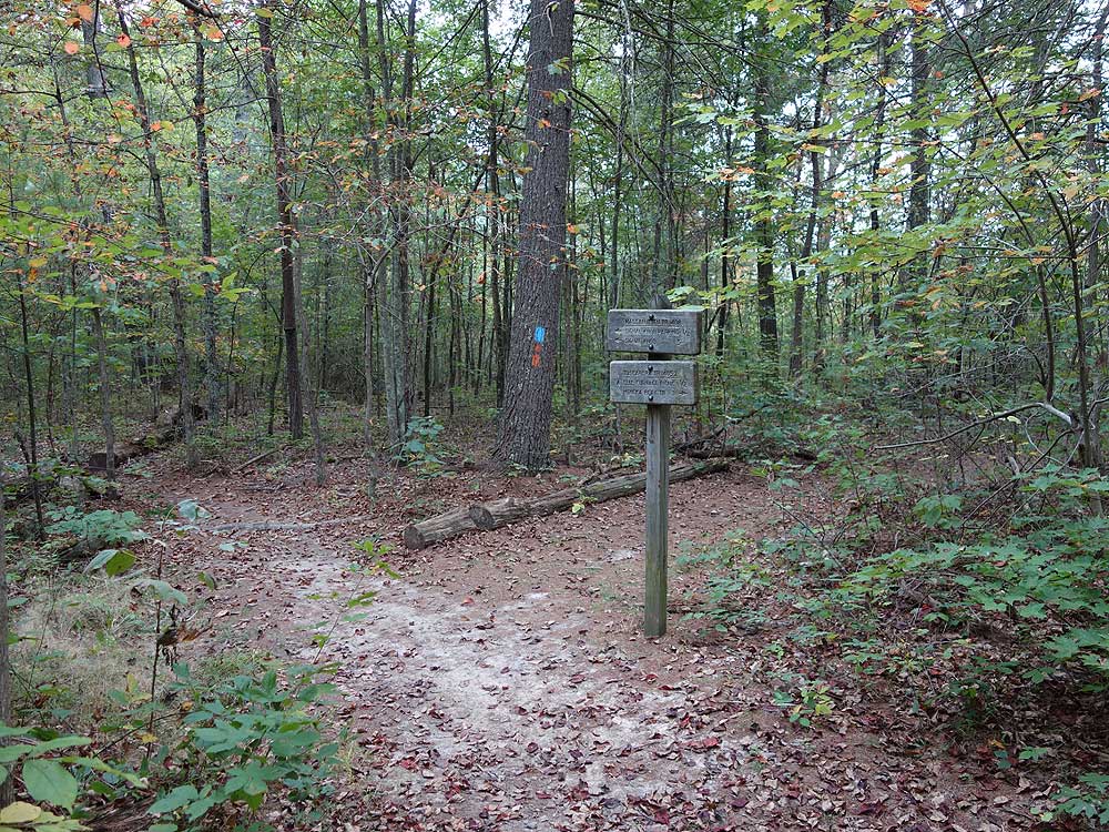
Mile 4.3 - Arrive at the Signal Knob lookout area. The lookout has some nice views north of the Shenandoah Valley and Strausburg VA. The Massanutten Trail continues as a orange blazed gravel road now descending the mountain to the intersection of the blue blazed Tuscarora Trail the crosses the road.
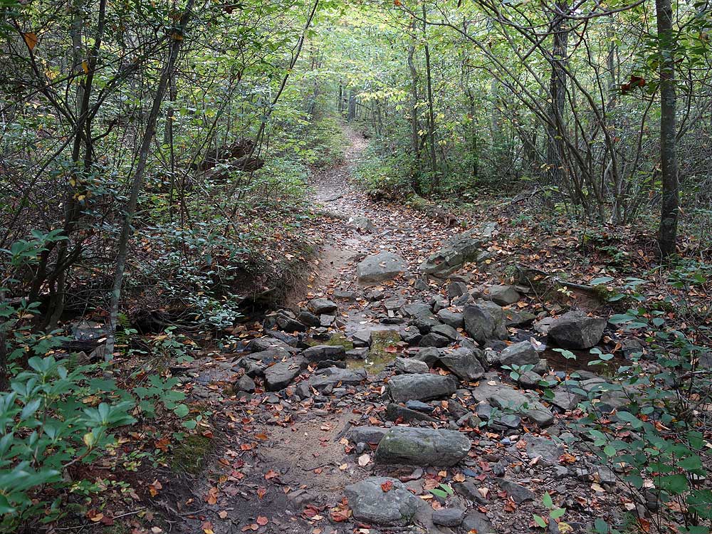
Mile 9.3 - Continue straight on the orange blazed Massanutten
Trail (this section was formerly the the Tuscarora Spur Trail
and was reblazed in 2002) as it
descends slightly, then parallels Fort Valley Rd./VA678.
Mile 9.9 - Arrive back
on the left side of the Signal Knob parking area.
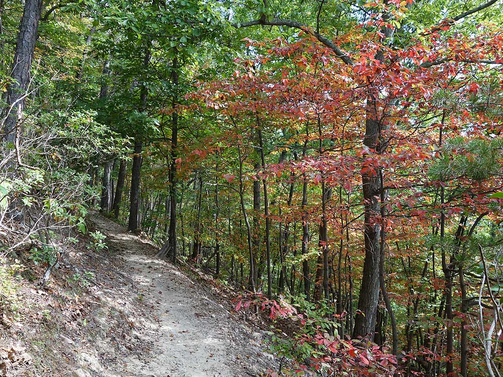
Late September
Early October
Vista of Buzzard Rock
Signal Knob Hike Comments
Archived Comments
By:Matti
Rating:
Date of Hike: Sunday, November 24, 2019
Went on a cold, cloudy November day that turned cold, windy and sunny. The hike was lovely and quiet and solitary for the first 5 miles, and then I turned from the Massanutten Trail section onto the Tuscarora Trail section and, unfortunately for hikers, that's also a biking trail. Of seven bikers I encountered, only two yielded right of way (as bikes are supposed to to hikers). One bicyclist startled me so that I jumped off the trail and nearly tumbled down the mountain. He asked if I was okay but didn't slow down. I might be especially frightenable in that circumstance and it's possible all the bicyclists were completely in control and wouldn't have hit me, but the wind made it hard for me to hear them approaching, and with so few other hikers out (I saw only one in six hours), I would imagine the bicyclists are startled by pedestrians, too. The experience made me jumpy and, frankly, wrecked my chance of enjoying the hike. After my major startle, and jumping off the trail, I was on constant high alert, looking over my shoulder the whole time, and couldn't commune with nature. This was my second time doing Signal Knob--last time, four years ago, I encountered only two bicyclists. With so many blind curves on a hiking trail, and the trail being so narrow, I just don't feel safe knowing I could be hit. Unfortunately, I will not likely go back to do this hike again.
By:Zirkminsky
Rating:
Date of Hike: Friday, November 8, 2019
I had a fabulous hike yesterday. The weather was perfect and the trail has a well balanced mix of ascents and descents, as well as rocky and smooth trail surfaces. If you are doing the hike counter clockwise like the instructions, then be careful not to lose the trail once you pass the stone house on your left as the trail has been damaged from fallen trees and the orange blazed markers are missing. The trail bears east at the creek.
By:Whitney
Rating:
Date of Hike: Thursday, September 5, 2019
A really nice, varied hike. The terrain is definitely quite rocky and will fatigue your feet and calves as the day goes on. Hiking on a Thursday morning starting around 10am, I only saw a few people all day. Some wildlife (deer, squirrels, salamanders, and bugs), but otherwise a quiet, secluded hike. A few places to catch a view of the surrounding scenery, but otherwise a hike mostly through forested areas as you climb and descend with a couple places where the sun breaks through. Took about 4.25 hours from start to finish with nothing more than a few breaks for a picture or to listen to the quietness. This hike requires your attention nearly the whole time to make sure your foot is landing securely because even the areas that are less rocky will still have some jagged edges of embedded rocks sticking up or tree roots to step over that can easily cause a fall. Most surprising part of the hike was the second ascent when you get on the Tuscarora Trail. Much steeper climb than the initial up to Signal Knob ridge, but also comes with a much more gradual descent. Overall a great weekday hike if you want some quiet and steady level of effort.
By:Aditya Gaddam
Rating:
Date of Hike: Saturday, August 24, 2019
I did this as a one-nighter. As others have mentioned, this is a VERY rocky trail. If you have decent hiking shoes, you'll be fine but it does wear on you a little. I have some 2 year old shoes with disappearing tread and it never felt treacherous or anything. The grade is steep in a few places but you can do a comfortable 2mi/hr.
Apart from the rocky-ness, the biggest disappointment for me was variation and overlooks for me. In the 10mi of hiking, there is little in variation and the overlook at Signal Knob is the only big window out.
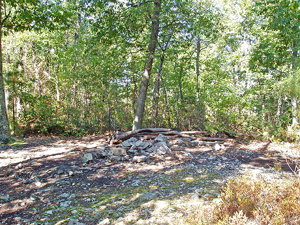
The campsite at the Signal Knob is small but very close to the overlook so if you are the only one there (like I was), you have a nice view for sunset / sunrise. Speaking of campsites, all the ones I saw were pretty small. The one at the top fit my Flycreek UL2 but a bigger tent might have some space issues. Firepits at all the campsites but actual tent space was pretty small. Hammock users might be ok though. Plently of trees.
On the way down, there are sections where you see random toads. That was a nice surprise.
On the whole, if you haven't done it, I'd do it as a day hike or a one-nighter if you just want to get away from people. But I won't bother going back.
By:Schweity9
Rating:
Date of Hike: Saturday, June 22, 2019
The hike took us 5 hours but we didnt stop for anything longer than a 5 min water break. The views up the mountain along the orange blazed trail were beautiful but the trail was so rocky it was difficult to pause anywhere to enjoy it. We actually liked the last 3 miles along the blue blazed trail the best because there werent as many rocks to step over and you could just walk and look around more comfortably. It was a nice walk in the woods at this point. Make sure you wear good sturdy hiking boots on this one! While the views were nice there was no large rock outcropping to sit and enjoy them along the way. A lot was covered by trees this time of year (June). There are a few overgrown areas of the trail so make sure you check for ticks. We pulled a few out coming out of those areas. Glad we did the hike but wouldnt visit again.
By:Hobo Hiker
Rating:
Date of Hike: Monday, April 29, 2019
I agree with Matt on the full loop hike takes more like 7 hours. I also agree that the out back on the orange trail works better for me so you don't have to re-climb the mountain on the blue loop trail. The blue loop is nice if you want to see some old fort and copper mine holes but long. This also has many flowers so at times during the year there are lots of bees.
By:Loudmouth
Rating:
Date of Hike: Sunday, April 21, 2019
Great hike! Lots of rocks on the trail for the first three miles or so they will slow you down but the views up top are worth the effort.
By:Matt
Rating:
Date of Hike: Saturday, March 23, 2019
Fantastic hike, with amazing views and great variety of terrain. I will caution anyone hiking with full packs there is no way this loop takes five hours. We took a Crew of Scouts preparing for Philmont on this trek and subtracting meals, it still took us 6-7 hours. I suppose fit people with very light loads could do it in five, but I wouldn't plan on it.
By:Denny M
Rating:
Date of Hike: Wednesday, December 12, 2018
Had an enjoyable hike all to myself. Never saw another person. I think if I do it again I will back track after reaching Signal Knob Lookout, and take the Meneka Peak trail rather than the fire road that requires reclimbing the mountain. Many opportunities to look out over the valleys this time of the year.
By:Tom Witt
Rating:
Date of Hike: Sunday, October 14, 2018
Great hike. However going counter clockwise thru the loop, after the first overlook (1.5 miles) there are several rock piles across the trail and rocks off and on for the next mile or two. Be sure to wear the proper shoes and take care. The overlooks are quite spectacular. I was however disappointed at Signal Knob overlook looking west as the small Maple trees have grown to block a lot of the view that was so breathtaking just a couple of years ago. I hope the trail maintenance crew in that area can trim those back as the view really has been compromised. Saw 4 solo's and 3 pairs of hikers all day. Temps in the 50's and cloudy.


