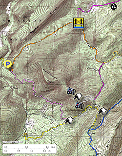
There are two options for enjoying the fantastic views and camping on Halfmoon Mountain:
Follow our directions for the two day 10.5 mile backpack or as a long day hike.
Don't have time for the standard route? Park at the Halfmoon Mountain trailhead off VA23/10 Trout Run Road 38.98936, -78.65707. This will make for a shorter 6.5 mile hike up the Halfmoon Mountain Trail to the ridge and intersection of the Halfmoon Mountain Overlook Trail, then to the overlook, and back down the same way.
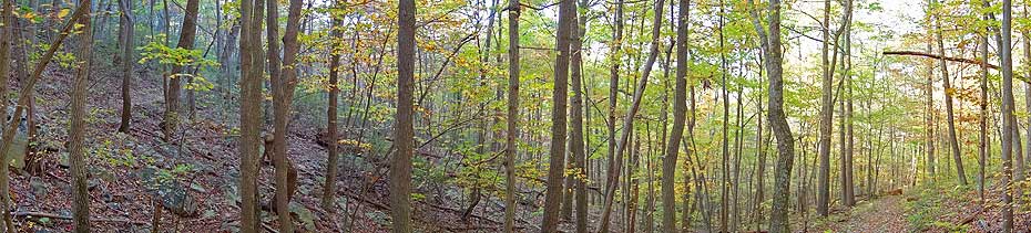
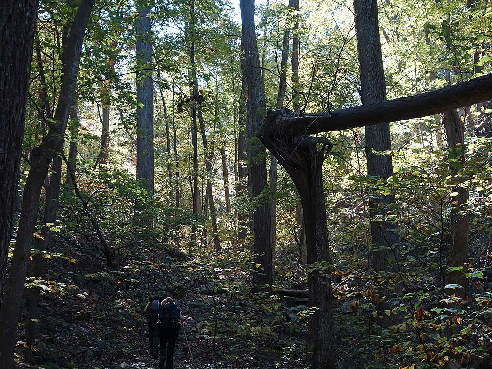
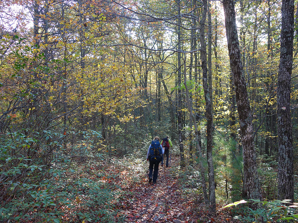
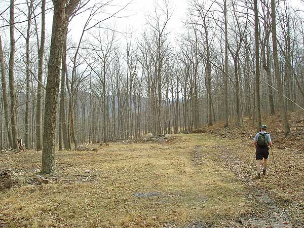
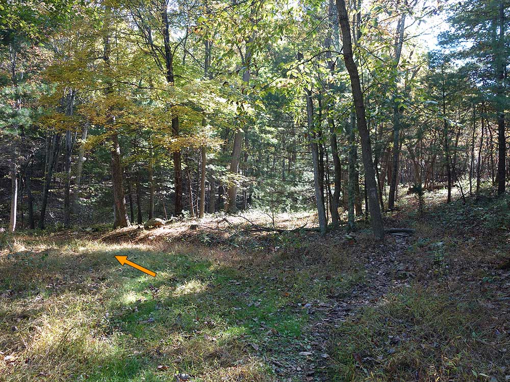
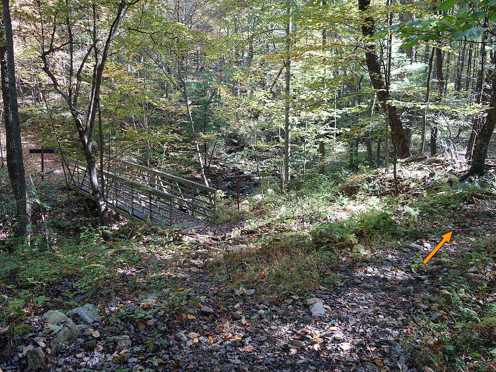
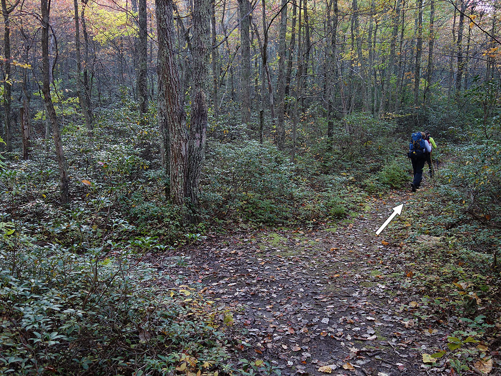
Mile 0.2 - Continue along the orange Bucktail Trail as it starts to winds around the mountain and gradually ascends to a saddle with intermittent views of the ridge to the west. After the saddle descend towards the run arriving at a footbridge and intersection with the Cacpon Trail.
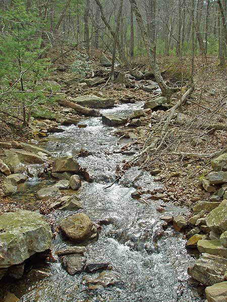
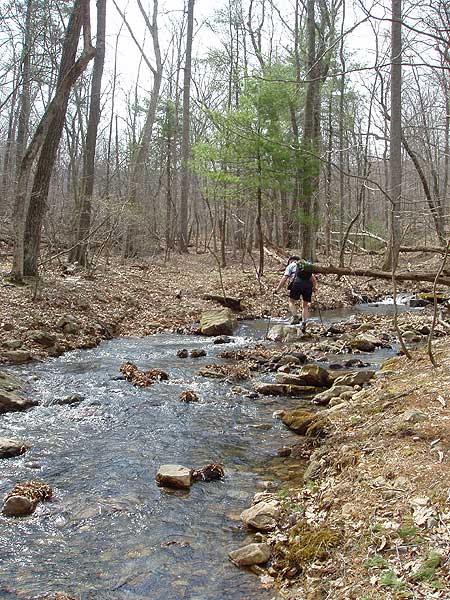
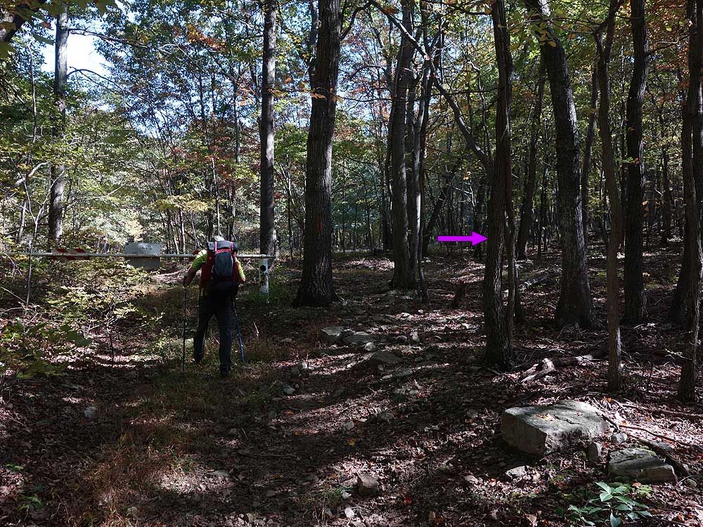
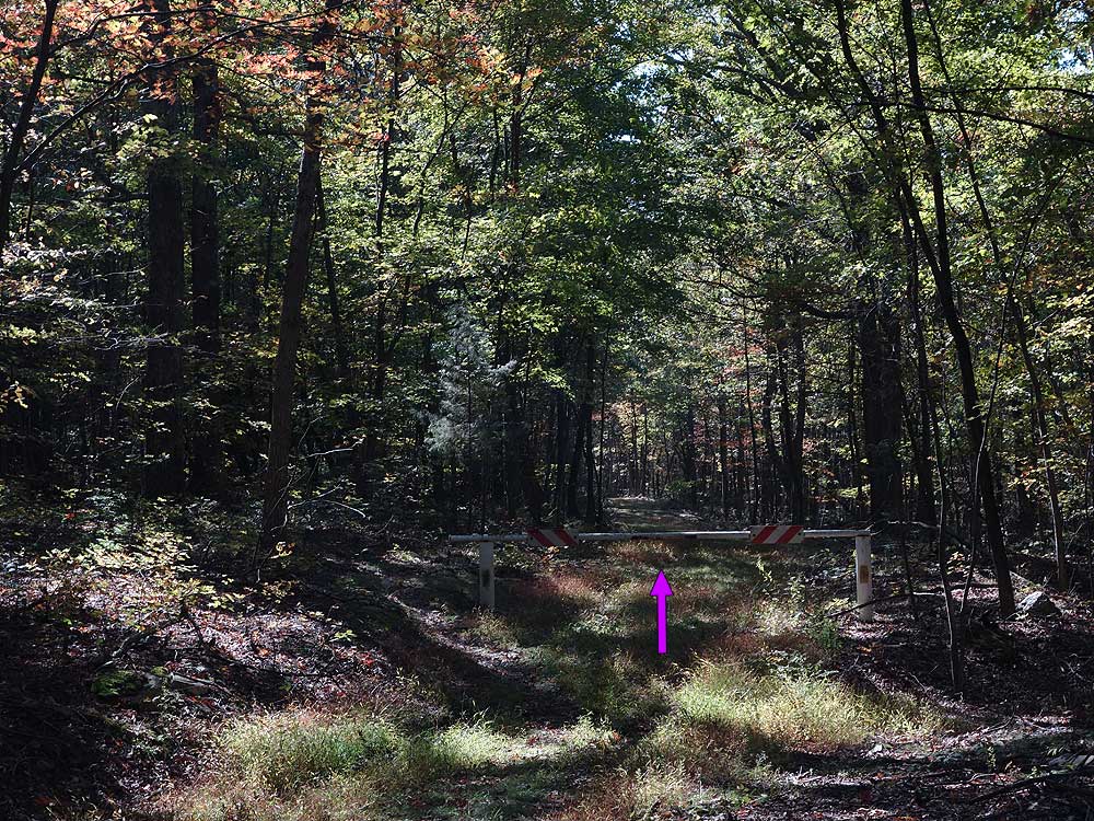
Mile 2.5 - Do Not cross the footbridge, but say right upstream on the orange blazed Bucktail Trail. The Bucktail Trail will cross the stream five times in the next 0.8 miles. Note:This is the last water source until Halfmoon Run on the opposite side of the mountain. If you are camping at one of the summit or the saddle campsites make sure to fill up with water here. After the last run crossing the trail passes through an area of Mountain Laurel then ends at a closed gate and intersection with the Old Mine Trail and German Wilson Trail.
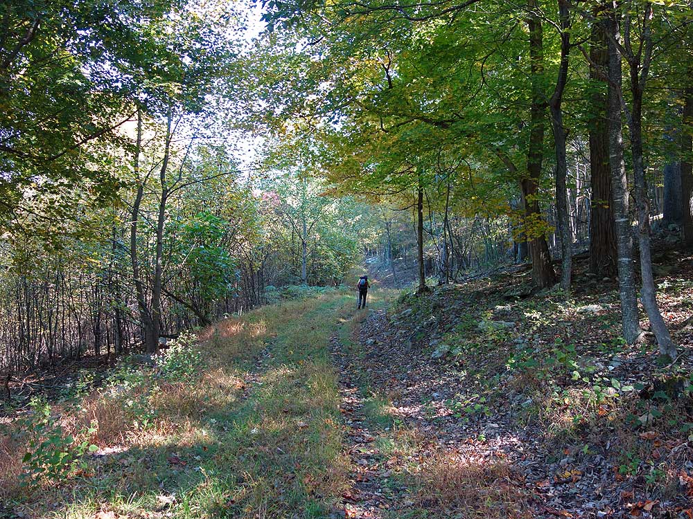
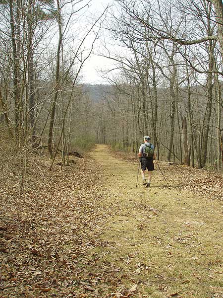
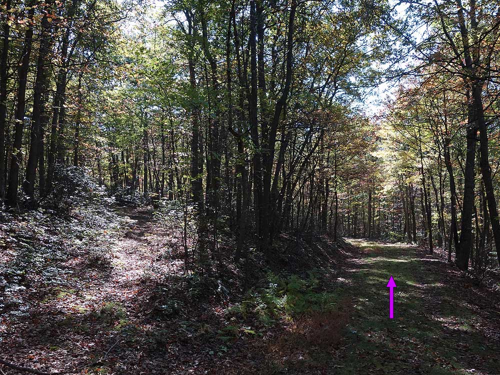
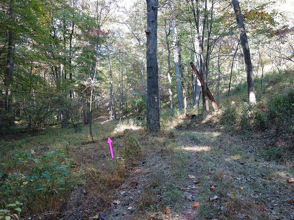
Mile 4.0 - Turn right on the wide purple blazed German Wilson Trail passing another closed gate where the trail follows an old forestry road. In 0.1 miles there is a side trail on the left. Stay on the wide forestry road and German Wilson Trail, then in another 0.2 miles the German Wilson Trail will leave the forestry road and turn left uphill.
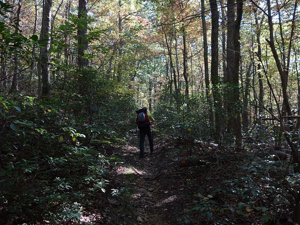
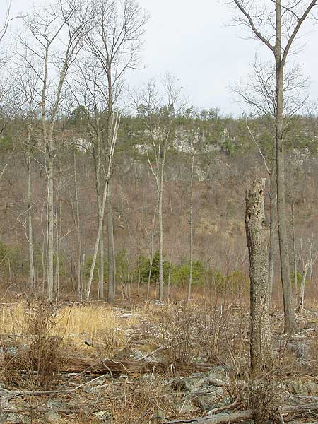
Mile 4.3 - Turn left uphill on the now narrower purple blazed German Wilson Trail. The trail is 1.0 miles long and becomes increasingly steeper passing through a small gorge before cresting the saddle and ending at the intersection with the white blazed Halfmoon Mountain Overlook Trail.
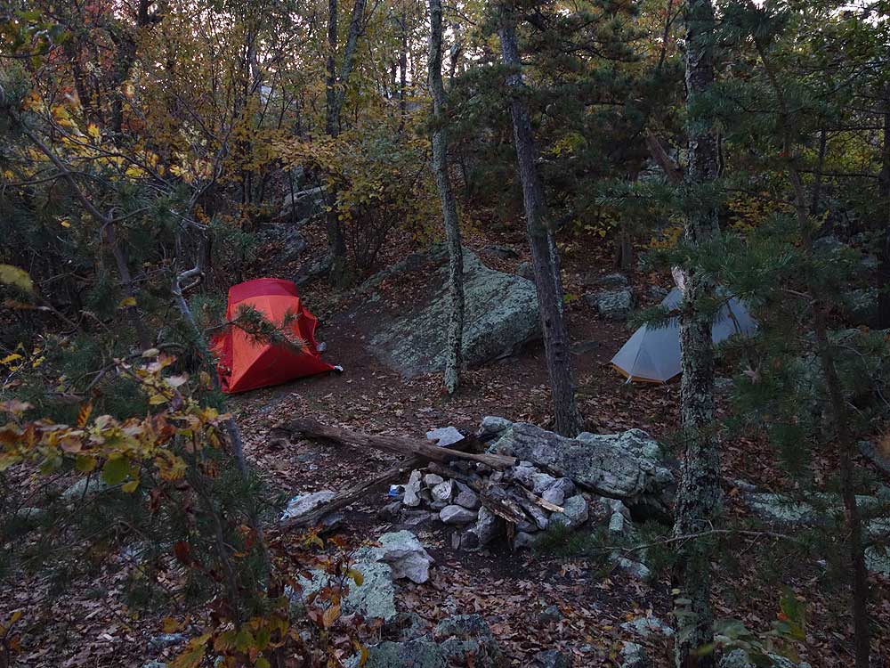
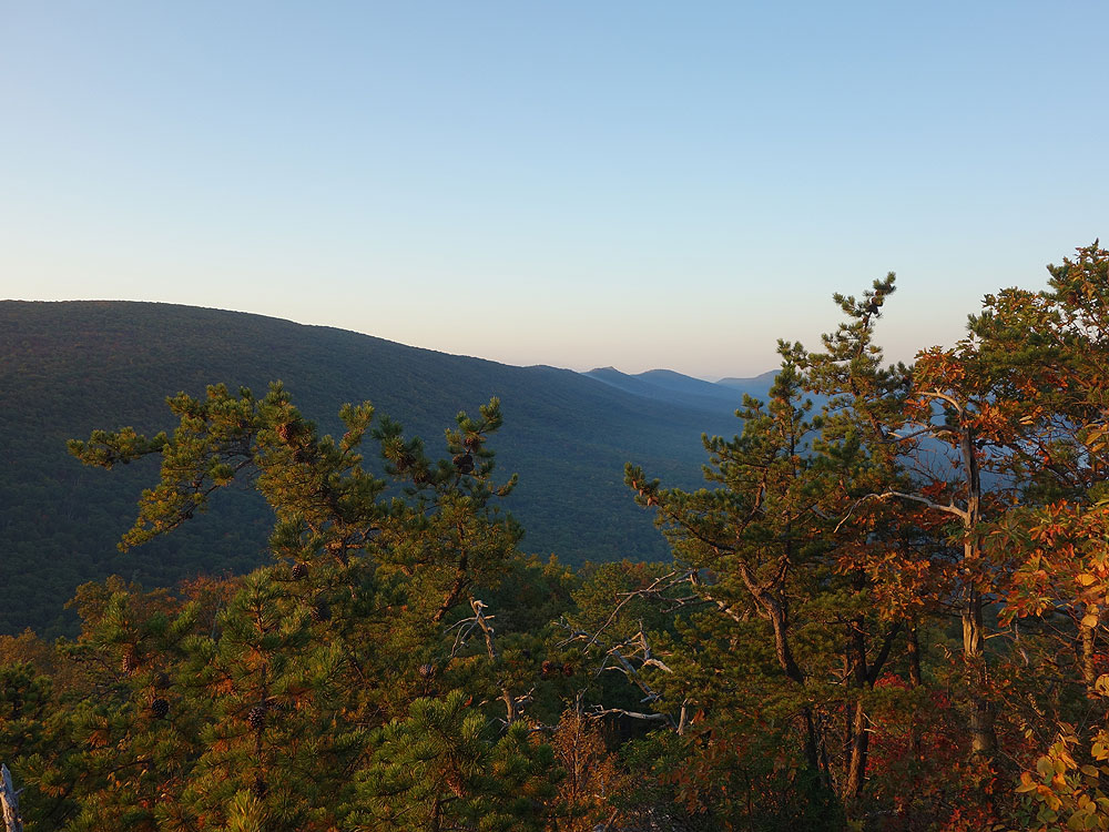
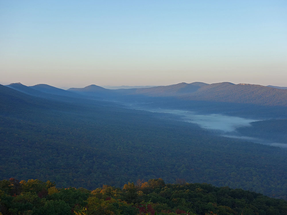
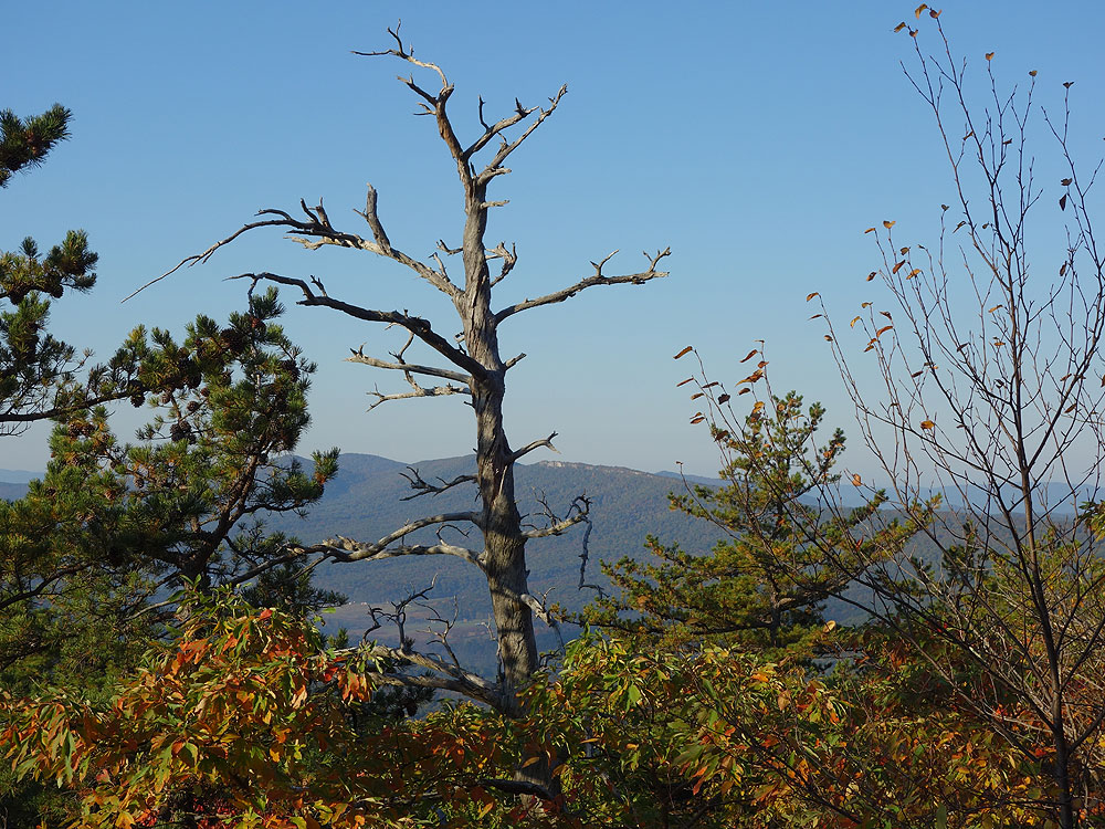
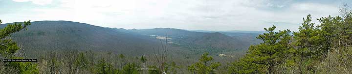
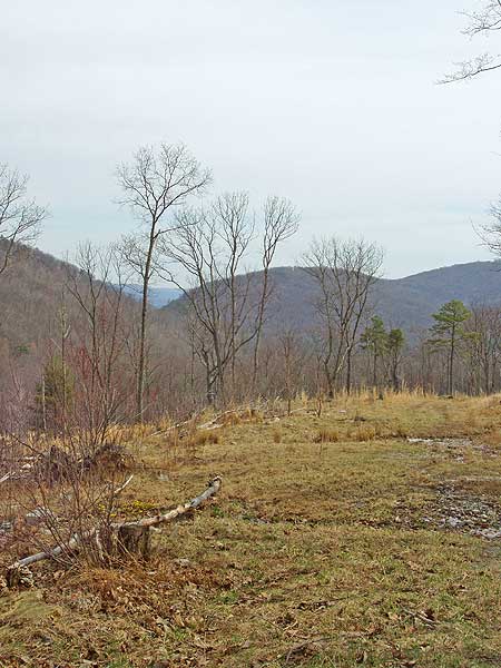
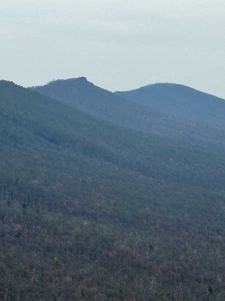
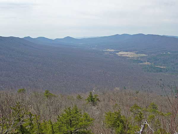
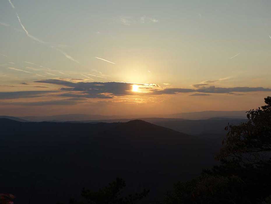
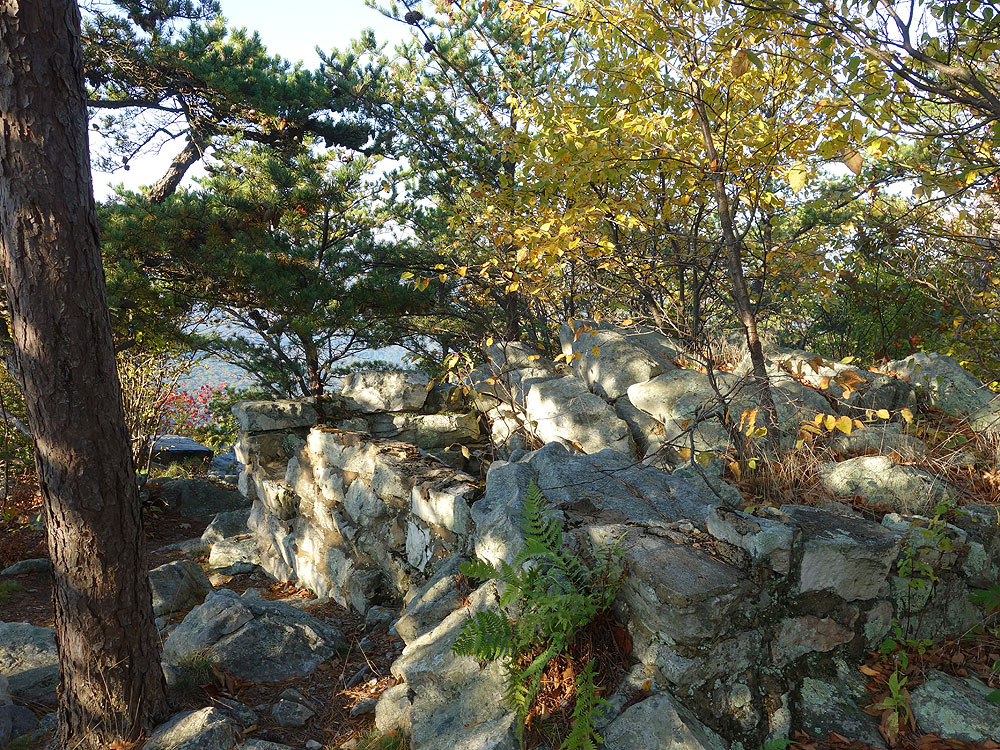
Mile 5.7 - From the main summit continue to the saddle campsite just beyond, then follow the faint trail another 75 yards to the less know northwesterly vista point with expansive views and large rock outcropping.
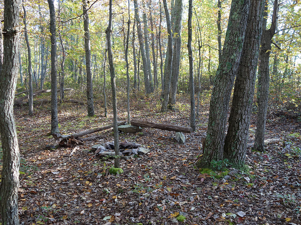
Mile 5.8 - From the second overlook pass back through the campsite in the saddle and down the white blazed trail back to the intersection with the German Wilson Trail. From the German Wilson Trail intersection it is 0.4 miles to the intersection with the yellow blazed Halfmoon Mountain Trail. 30 yards before arriving at the intersection there is a large campsite on the left.
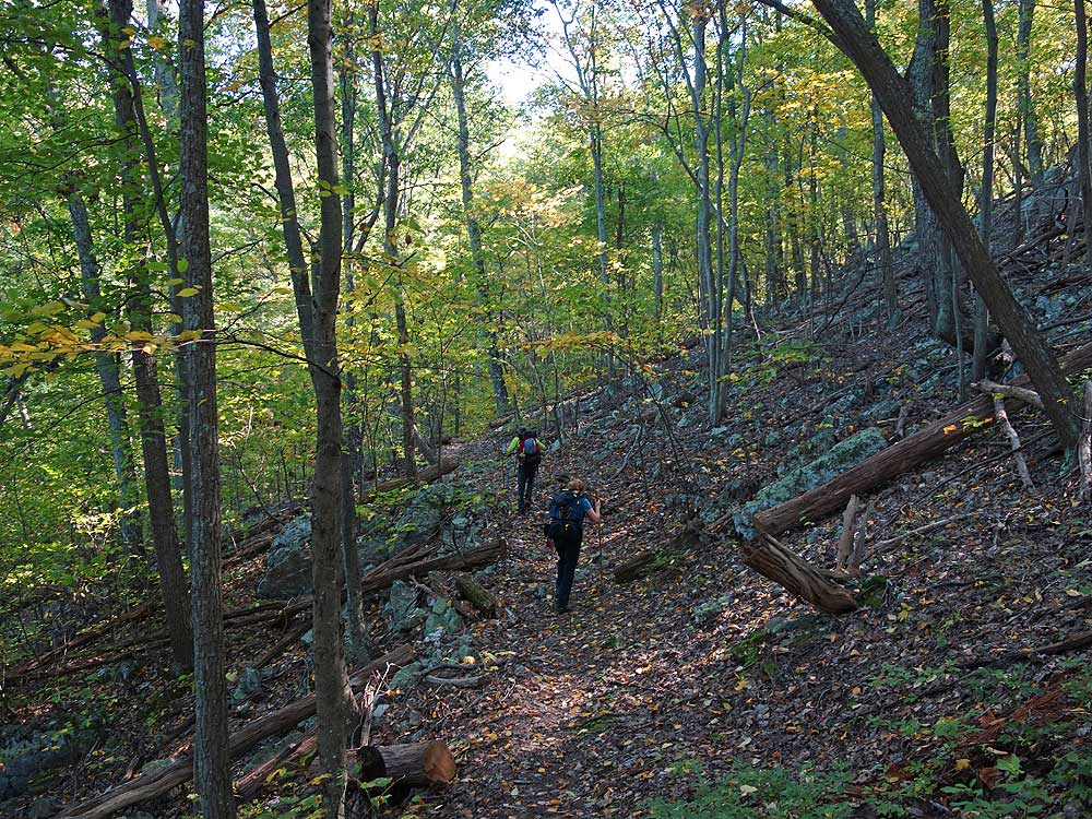
Mile 6.2 - Turn right downhill on the yellow blazed Halfmoon Mountain Trail. There is one large switchback on its descent to a large campsite and intersection with the pink blazed Bucktail Cutoff Trail. There are additional campsites just upstream, and the Halfmoon Mountain Trail veers left here crossing Halfmoon Mountain Run then following a forestry road.
Mile 7.4 - Stay straight on the pink blazed Bucktail Cutoff Trail following a forestry road. The trail will pass 5 major gullies that can be a workout as it makes its way to the orange blazed Bucktail Trail where the pink trail ends.
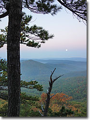
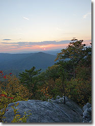
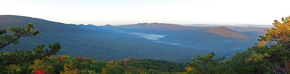
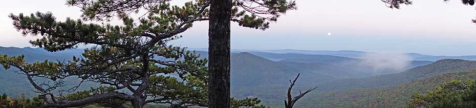
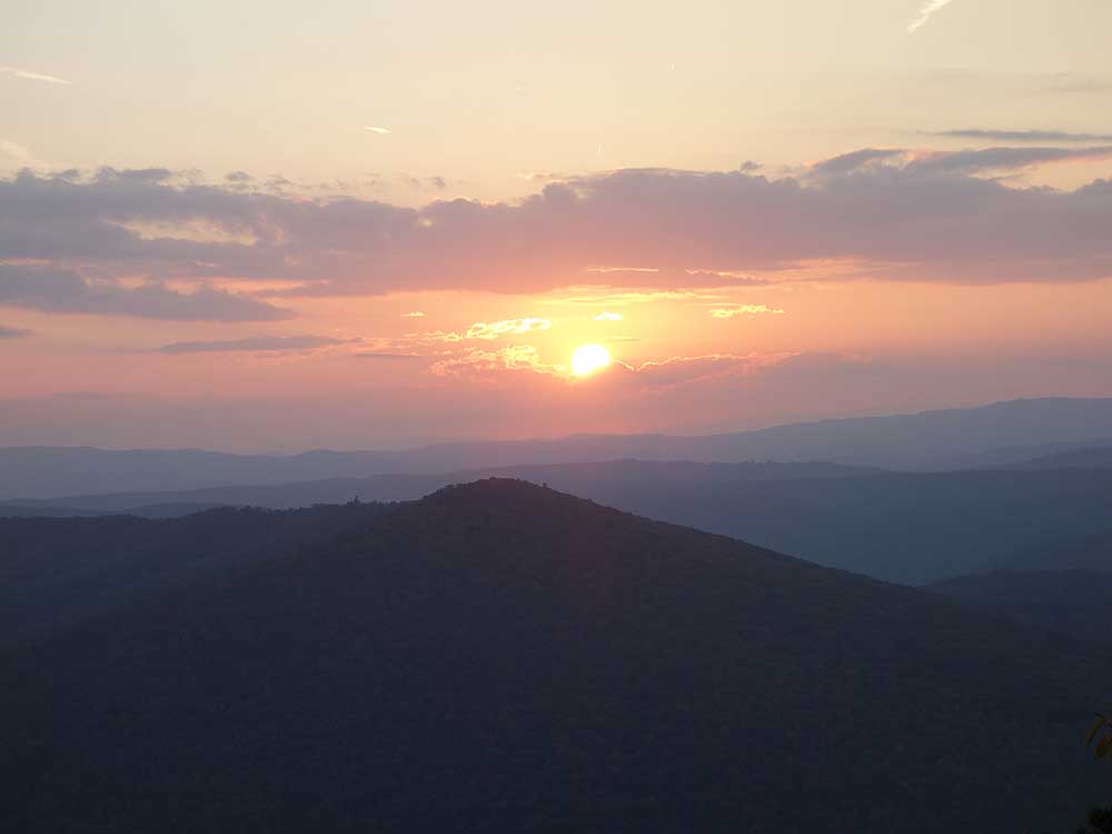
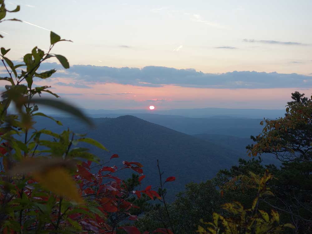
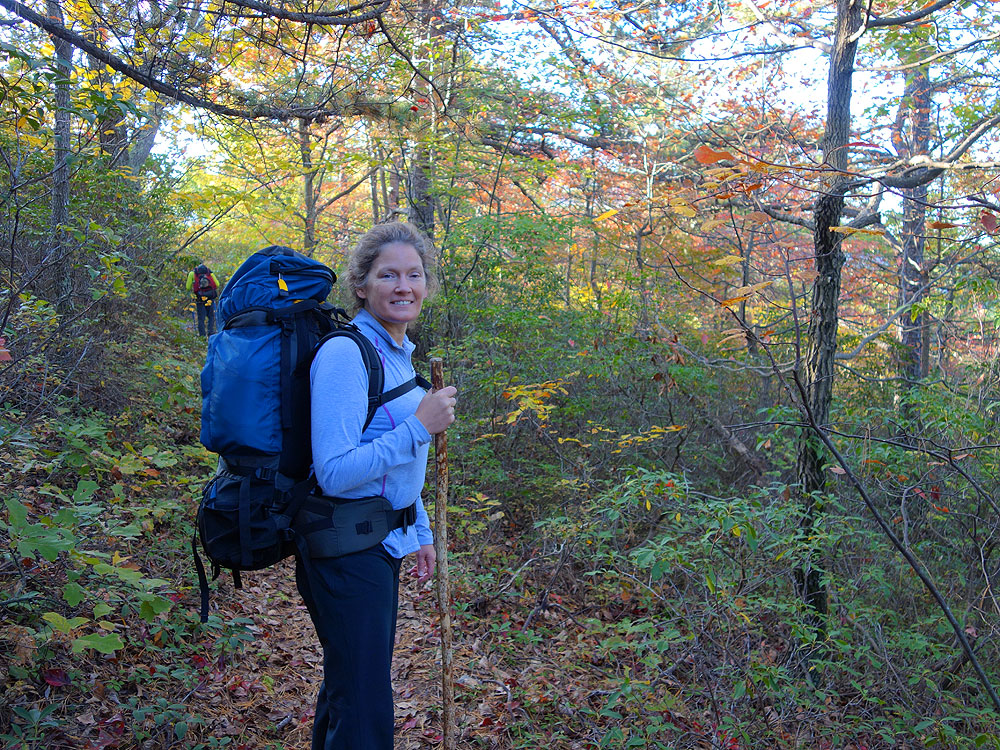
I did the shorter 6.5 mile out-and-back hike via the yellow-blazed Halfmoon Mountain Trail up to the ridge. The total altitude gain for this hike is a little over 1200 feet, and I would rate it a 3 for difficulty. This is a pleasant trek through the woods up to the overlooks. There are no real navigational issues on this variant. I would note that the 2nd overlook is the best, so you will definitely be rewarded for the short walk on the faint trail beyond the saddle campsite.
By:CK
Rating:
Date of Hike: Friday, May 24, 2019
I hiked up from Little Stony Creek trailhead this added a few more miles but was a much gentler climb with a ~30-pound pack. It's about 7.5 miles and I arrived at the summit in 3 hrs and 50 mins. Take the yellow Little Stony Creek trail up ~4 miles, past Sugar Knob Cabin turn left on blue Tuscarora Trail for 2 miles then stay straight on yellow Halfmoon Trail (there is a sign) for 0.7 mile then stay straight on white Halfmoon Lookout Trail for 0.8 mile to the summit.
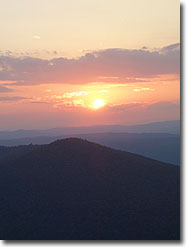
I camped at the large site down the side trail just below the summit. Gorgeous spot! I hiked up on a Friday and did not see one other person the entire time on the trail or the summit. It was so lovely to watch the sunset from the second overlook in solitude.
I originally planned to loop back to the Little Stony Creek parking lot via Mill Mountain and Big Schloss however, the whip-poor-will clan at the campsite kept me up most of the night. Not a complaint they were just doing their thing! But feeling extra groggy, I just went back the way I came. I saw 10 hikers (all overnighters) and 1 mountain biker coming up Little Stony Creek trail, so it does get popular on the weekends, of course.
I did see one rattlesnake basking in the sunshine right on Little Stony Creek trail, so look out for them everywhere (lots of notes below report rattlers on the summit, but I didn't see any there.) Felt bad going off trail to get around it, but it was not going to give up that spot in the sun.
Mountain laurels just starting to pop in some spots, so this area will be gorgeous in another week or so!
By:Jeff Monroe
Rating:
Date of Hike: Saturday, April 20, 2019
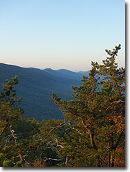
I hiked this counter-clockwise and was glad to do it that way. The first half of the hike including the spectacular overlook ranked 5 stars. This is an amazing overlook! Taking the German Wilson and then the Bucktail Trail brought the overall hike down to 3 stars. The Bucktail was a swamp in late April - I probably would have turned around if I started on that trail. I think I will explore other routes to the top in the future.
By:Joe
Rating:
Date of Hike: Sunday, March 17, 2019
A friend and I did this hike as a day hike in the direction specified here. The scenery is less than spectacular for most of the hike at lower elevations. The climb up German Wilson is tough, but short. The reason for the 3 star rating lies in the tedious nature of the Bucktail Cutoff trail, which winds for 3 miles up and down.
I think it would be a better choice to do this as an overnight hike, camping at one of the many high elevation spots. The sunset view from Halfmoon peak is awesome. There are plenty of large sites along the ridge crest, along with a great site below the peak of Halfmoon.
I would suggest if you wanted to do a day hike to take in Halfmoon that you start at the Halfmoon parking and come up the west side of the mountain, avoiding both the Bucktail cutoff and German Wilson trails. You will get the prize with a lot less effort.
By:Brad
Rating:
Date of Hike: Saturday, September 22, 2018
Great hike! We did the trail just as it's laid out here and I'm glad we followed the trail as written on the website. We did it as an overnight and the German Wilson trail section was quite taxing, but it rained the second day and would have been treacherous trying to go down the steep incline with our packs. Following the Halfmoon trail on the way out made it much easier.
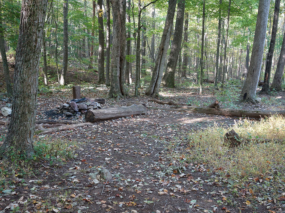
We snagged the campsite at the top of the mountain, just around to the right of the fire tower, which made for great views. Another hiker came a little behind us and knew of another campsite just to the right of the rocky outcrop lookout point. For a larger group, I'd recommend the large campsite below the fire tower or the one at the intersection of the Halfmoon and Bucktail trails. The two campsites at the intersection of yellow and white trails are fairly large as well, but don't have water or a very good view.
The trail was wet and muddy pretty much the whole time, especially with the numerous river crossings, so definitely bring a change of shoes and socks.
By:WT
Rating:
Date of Hike: Sunday, June 10, 2018
Was a nice overnight backpack. Started around 10:30 a.m made it to the summit around 2. No water so make sure you pack it in! Lots of wildlife! Several deer, a bear, and a timber rattler. I will not do this hike in the summer due to the snakes. Several local horseback riders warned me of a snake den at the top. Never saw more than one, however the one I did see was inches from the trail, and my ankle. I was unnerved to say the least.
By:Rachel
Rating:
Date of Hike: Saturday, June 2, 2018
We hiked this as an overnight (but would be easily feasible as a day hike.) The area has received considerable amounts of rain and so the trail was WET. Saturday the trail was wet, stream crossings were possible but we all had wet feet (rocks set up for crossings were covered with water.) Sunday the trails were running streams, and the streams were flood stage. Some of the campsites located along streams and in the low-lying areas were flooded. Beautiful trail, the mountain laurels were blooming, we'd love to come back during drier conditions.
By:Jen M
Rating:
Date of Hike: Friday, May 25, 2018
Hiked this Friday-Saturday of Memorial Day weekend. The lookout was amazing, and the mountain laurel were starting to bloom, so this hike got an A+ for having those two incredible moments. Hiked it clockwise as directed.
Difficulty: We've had a lot of rain lately but only one crossing required boots-off instead of careful rock hopping, and that should get better... the mud wasn't too bad. The uphill on German Wilson trail was a bit taxing, especially since so much of it is rocky (dry) creek bed. Note that we almost missed a hard left while going up.. keep your eyes peeled as it would definitely suck to have climbed higher on that than necessary. We also missed the last turn to loop back to the proper parking area and ended up at the lower area and had to take the road back to the car. I realize now I just read the directions wrong, but read that last part carefully.
Solitude: It was a holiday weekend and we saw only 1 other person... perfect
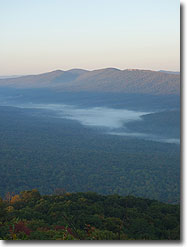
Views: With the mountain laurel in bloom, the corridor of it is breathtaking. Plus Halfmoon lookout is just gorgeous! The rest is some varied scenery and streams, but not the vista-after-vista of some other hikes in the area.
Other: Bugs were 'meh' (granted we didn't have bug spray on)... no biting flies but lots of annoying ones. The dogs were covered in ticks but we only found 2 on ourselves (but we hiked in pants). We did see a snake practically on the trail on the Halfmoon section, so definitely keep an eye out for that.
By:J&C
Rating:
Date of Hike: Friday, March 30, 2018
SIGHTS: The hike was lovely, and very relaxing. The halfmoon overlook was very nice and we got a very good view since most of the foliage was down. DIFFICULTIY: This was a fairly easy and relaxing hike myself and my boyfriend did it as a overnight trip. We hiked it in reverse order and I would definitely recommend to do it that way. In reverse you go on Bucktail (pink) and do a lot of uphill then get to the halfmoon lookout trail. The rest of the way on Bucktail (orange) is downhill and but not super steep this way you get the easy hike the next day. There are some rocky patches on Bucktail orange but nothing too difficult should be fine for older folk or even very young children. Do not recommend going after a excessive rain, the Bucktail orange trail follows a stream and the stream was overflowing in some areas. The trail was completely underwater for approximately 100 feet or so. It is not a big deal if you don't mind getting wet but it can get slippery. CAMPING: There are several camp areas on the half moon trail. We camped up on the halfmoon lookout itself and that was very very nice. Note that if you do this during the winter it is VERY windy up there it was 30F overnight when we camped but with wind chill it sure felt colder. Wildlife: We did not encounter any large mammals on our hike. But we did get to see some birds and other small critters. SOLITUDE: We saw one group of hikers when we were setting camp they appeared to be day-hikers. On our last mile before getting to the car on the following day we saw a couple backpacking in. This seems like a fairly quiet hiking area. WILDLIFE: We saw a few human tracks but did not encounter as many people as we expected likely this place gets some local day-hikers regularly. SUMMARY: Recommended hike of anyone who wants an easy relaxing walk in the forest. Specially good for beginners, older folk, or people with children
By:C $ and the BUG BOYZ
Rating:
Date of Hike: Saturday, December 16, 2017
Did this as an overnight with my brother. Easy to find, great and plentiful parking. We did the route counter clockwise, primarily due to fears that there would be no camping sites closer to the parking at the end of the route if we did this the normal way. Our fears were justified as there was zero camping availability until the yellow and pink trail intersection. The summit was incredible, great views all around and not a horribly hard climb the way we went (we had 40 lb packs so it was a bit difficult). Water is also a concern on that end of the hike. The other side by the bridge has plenty of water and camping. We only saw one person all day, a bear hunter waiting at a crossing fire road for his dogs to come back. It was a gorgeous day, sunny and cold. It got down to 23 degrees when the sun set. The trail is very smooth, only one rocky section on the German Wilson trail. Also my GPS topped it out at 11.15, I think this is a little over 10.6. Would definitely do it again, one of the better 10+ mile circuits in the GW in my opinion.


