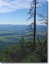
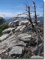
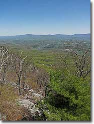
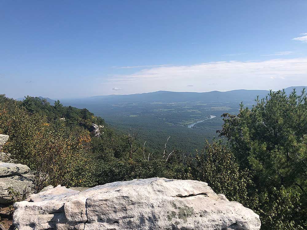
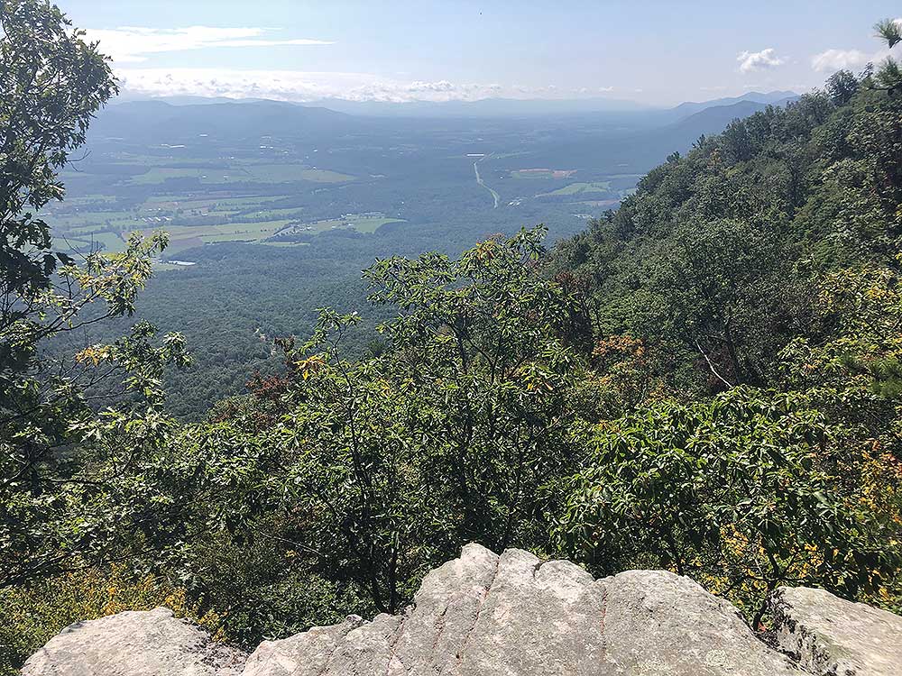
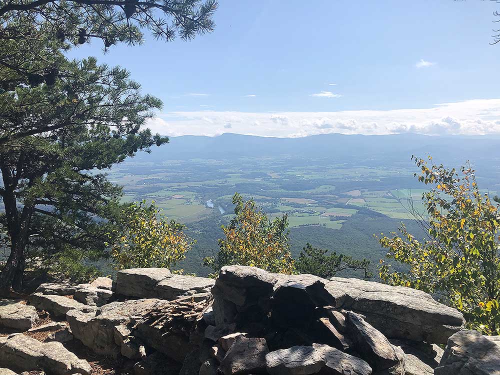
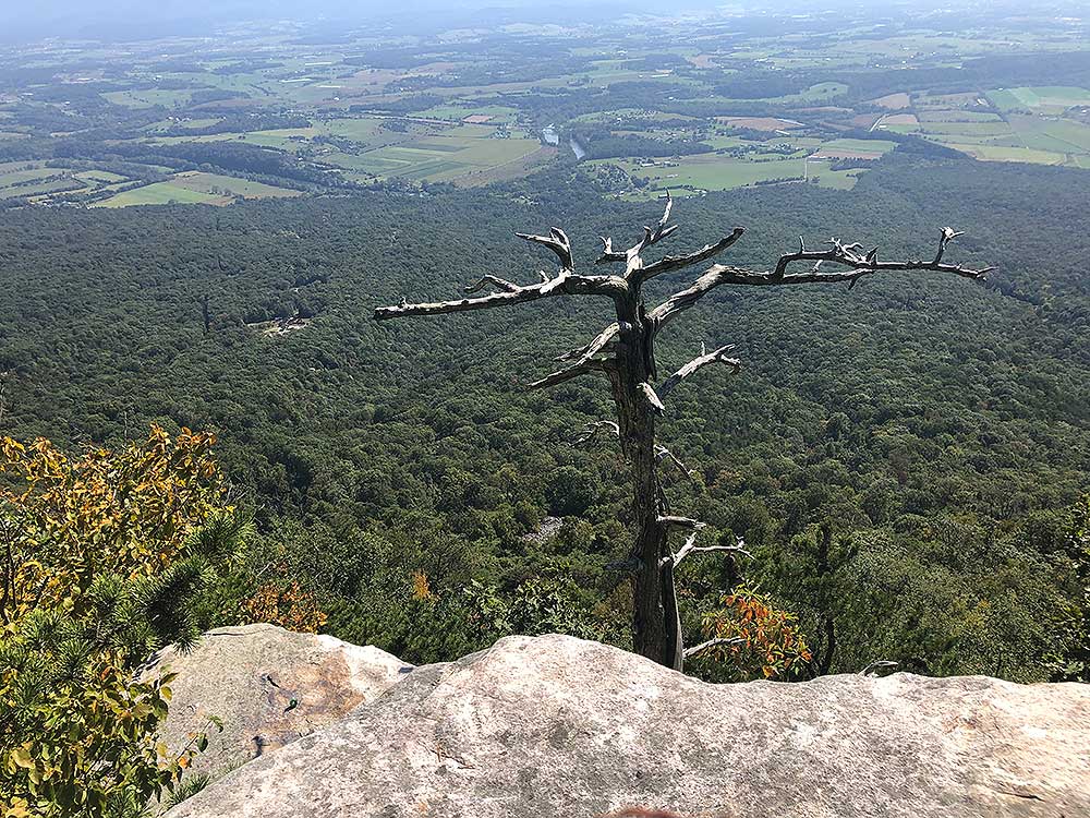
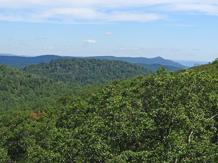
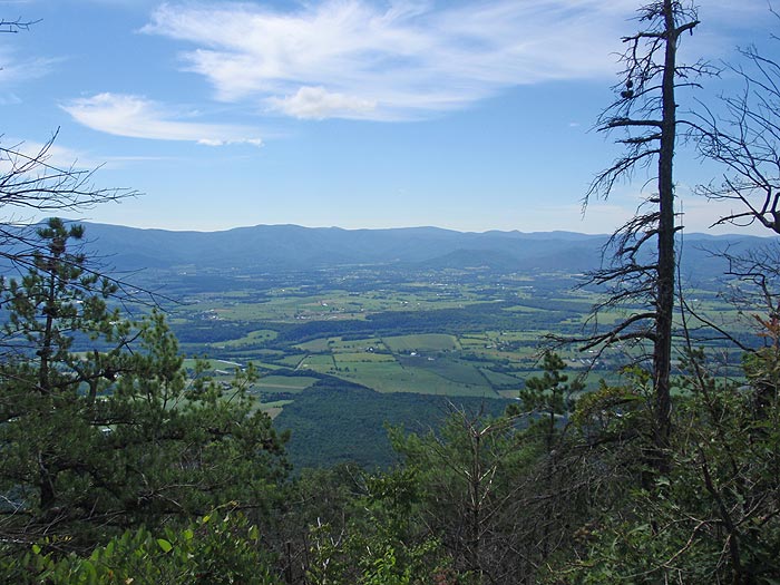
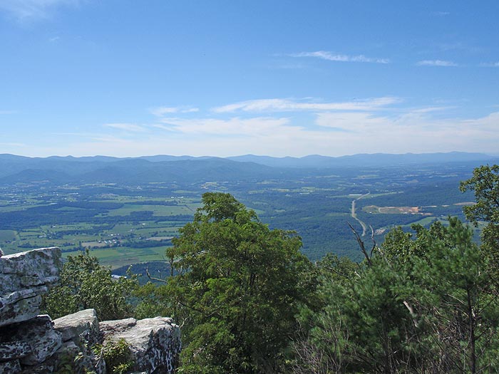
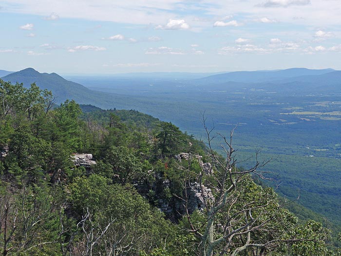
Some of the best vistas in the mid-Atlantic. The Strickler Knob Trail is a challenging rock hopping/scramble with beautiful views of New Market Gap, the Luray Valley, and a 360 degree picture perfect panorama from the Strickler Knob summit. This is a challenging hike with a great little rock scramble on the ridge. Camp at any of the ridge campsites and enjoy great sunsets and sunrises over the Shenandoah Valley, however be sure to carry up water as there are no springs along the ridge.
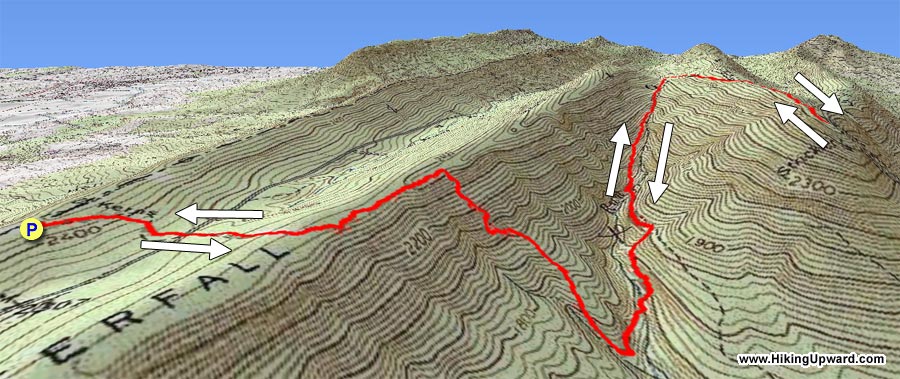
For the longer more challenging 8.6 mile/2,140ft gain hike park at the Massanutten trailhead.
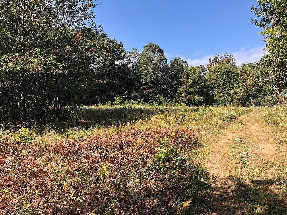
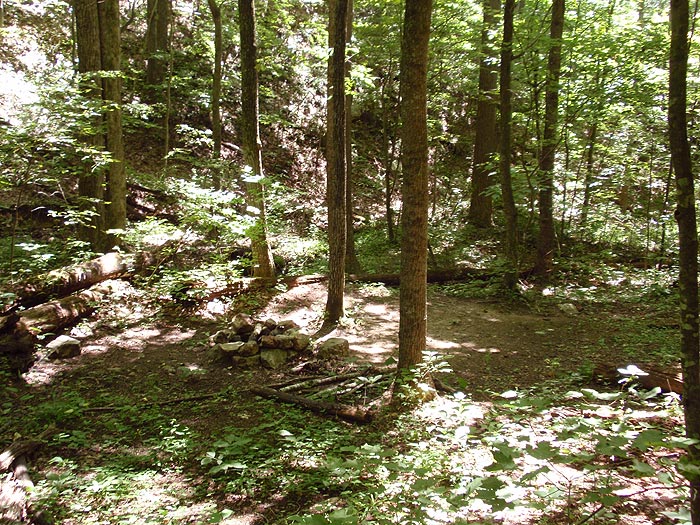
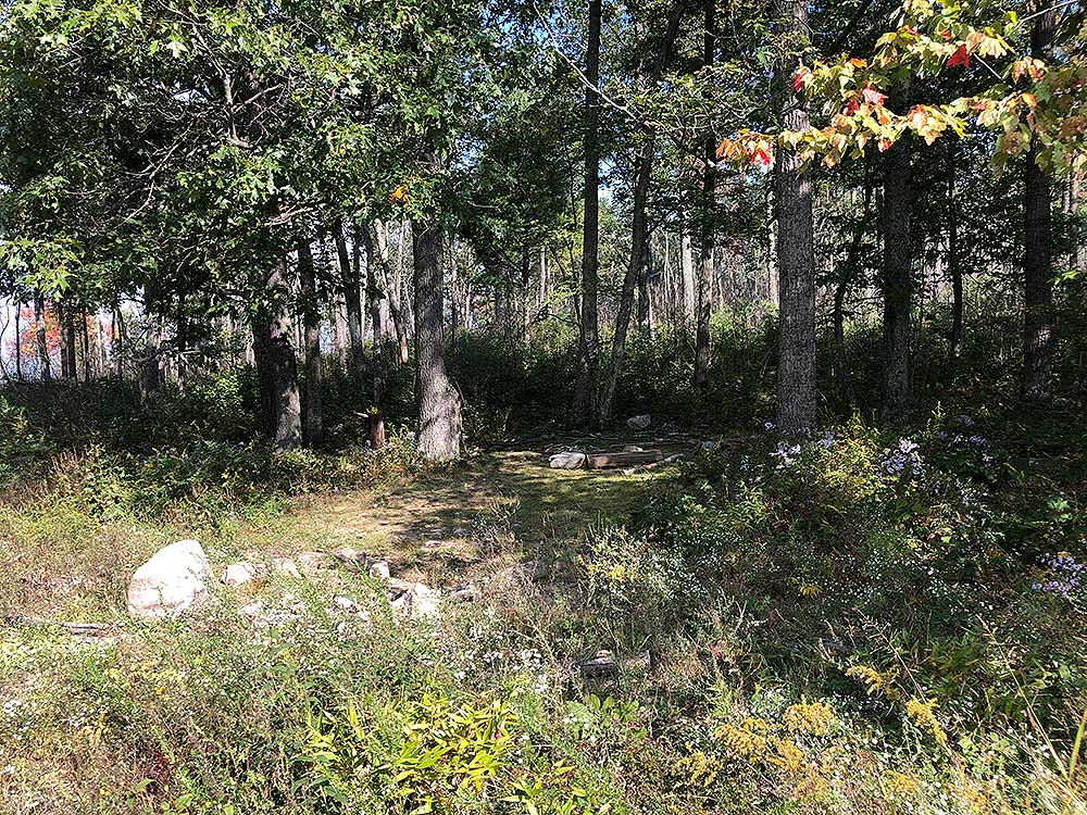
Mile 1.1 - There is a large clearing and campsite under the trees at Scothorn Gap. Continue along the trail passing a pond on the left before reaching the intersection of the orange blazed Massanutten Trail.
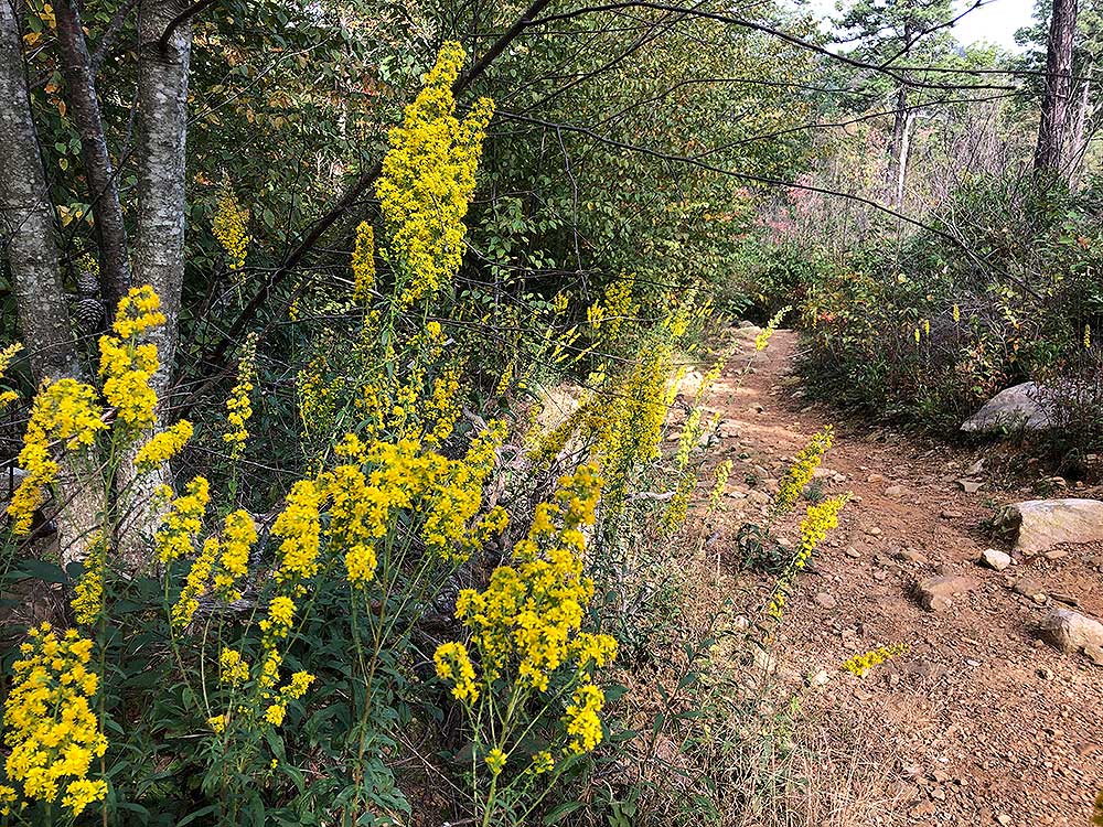
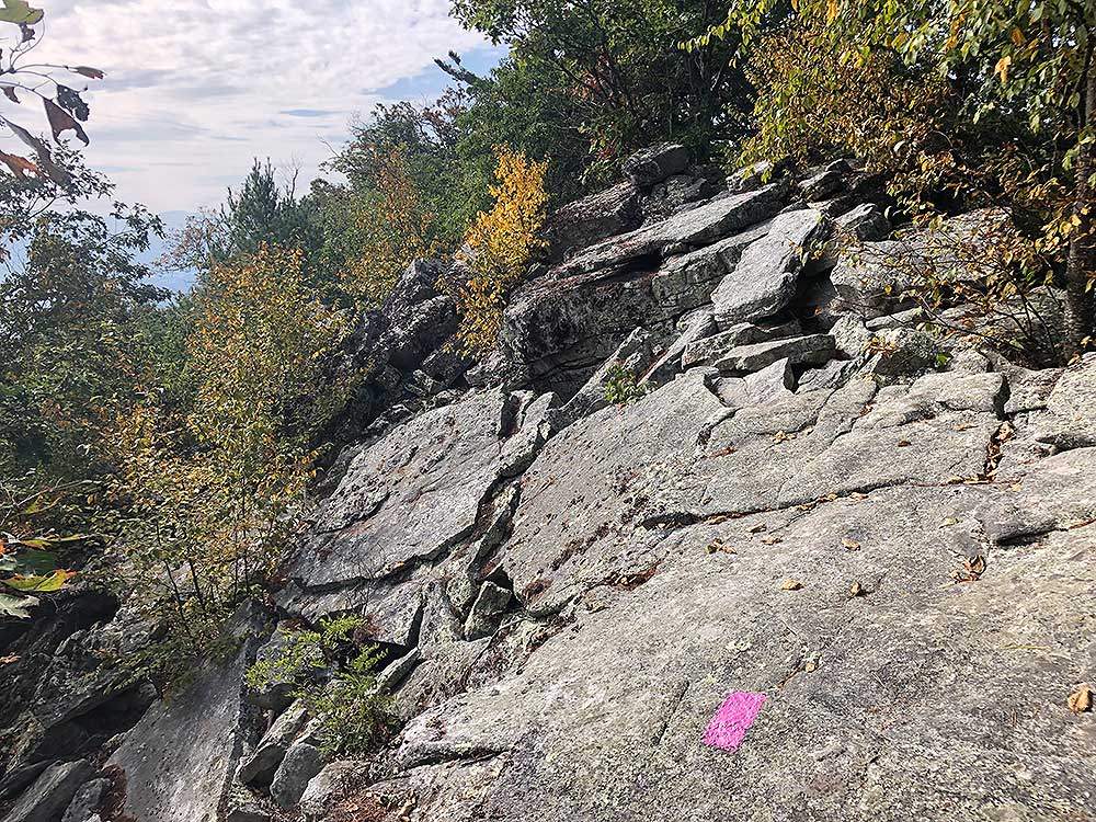
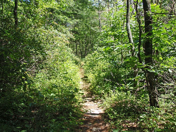
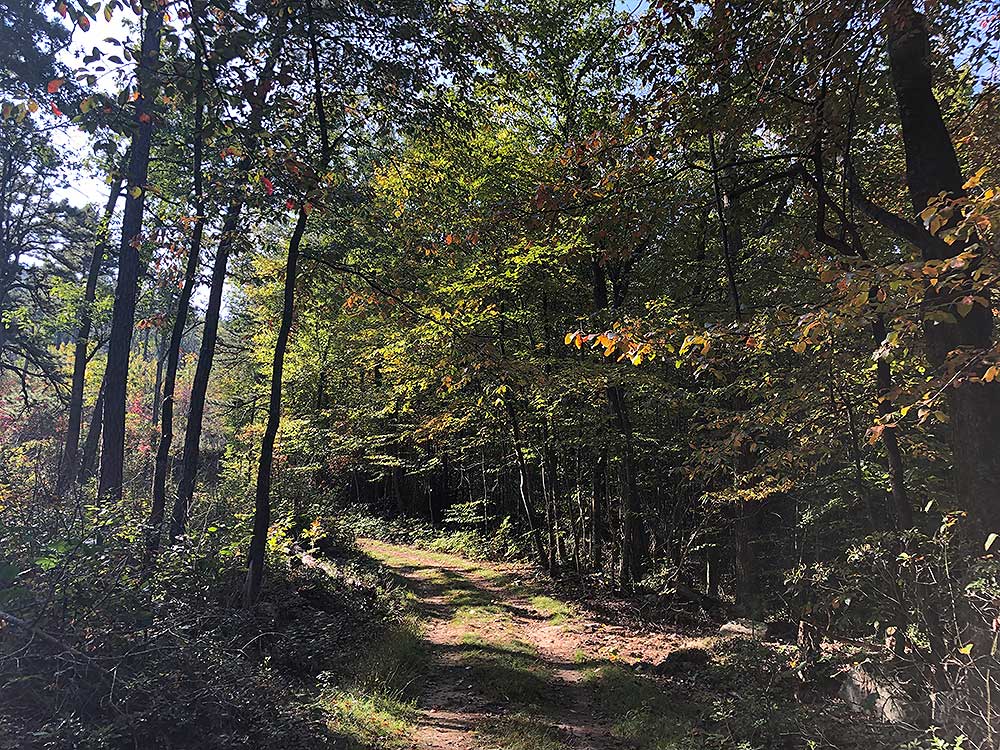
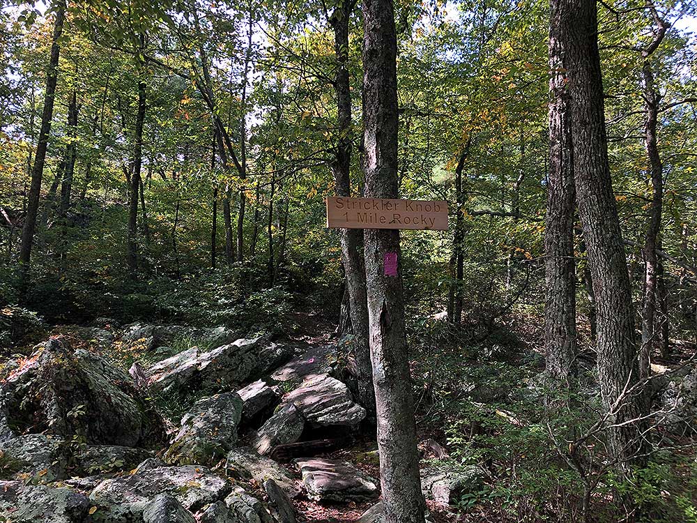
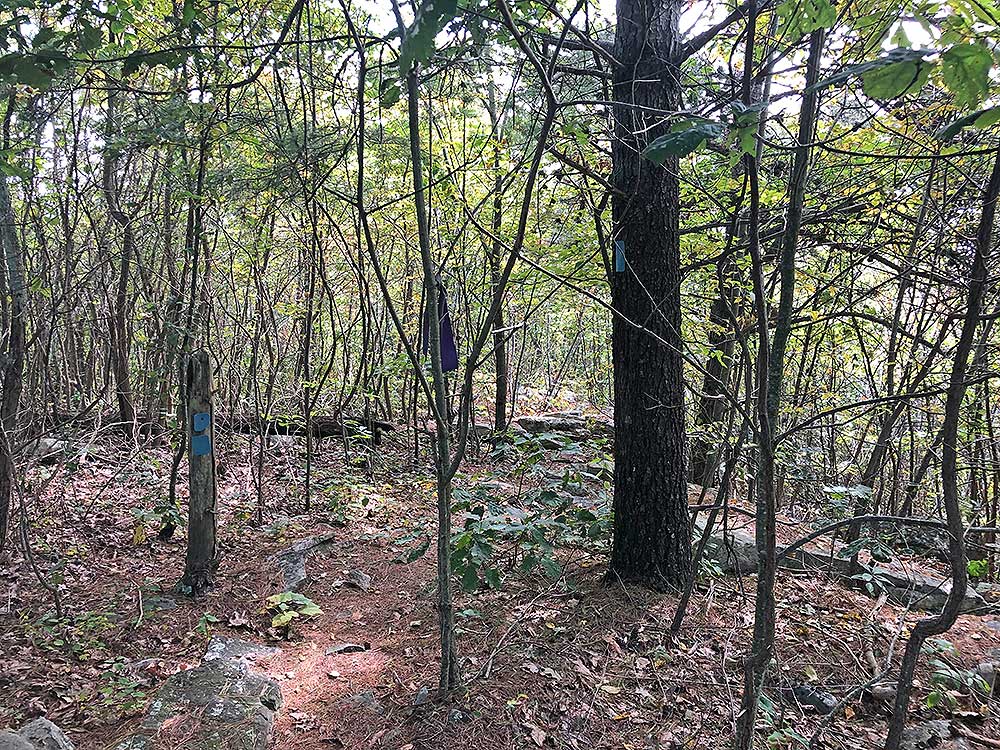
Mile 1.4 - The yellow blazed Scothorn Gap Trail turns left here, with the orange blazed Massanutten Trail coming in from the right then turning uphill. Stay straight on the orange blazed Massanutten Trail, then arriving at the ridge and intersection of the pink blazed Strickler Knob trail on the right in another 0.6 miles.
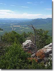
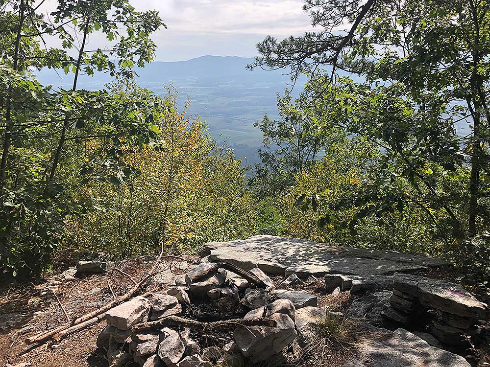
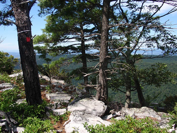
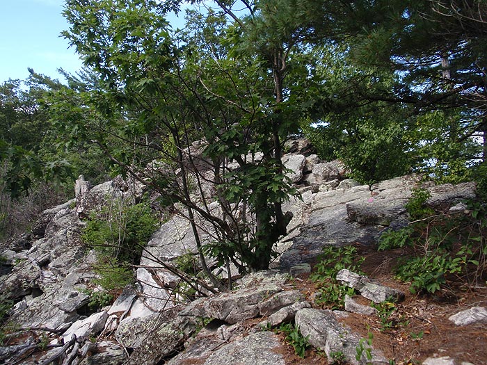
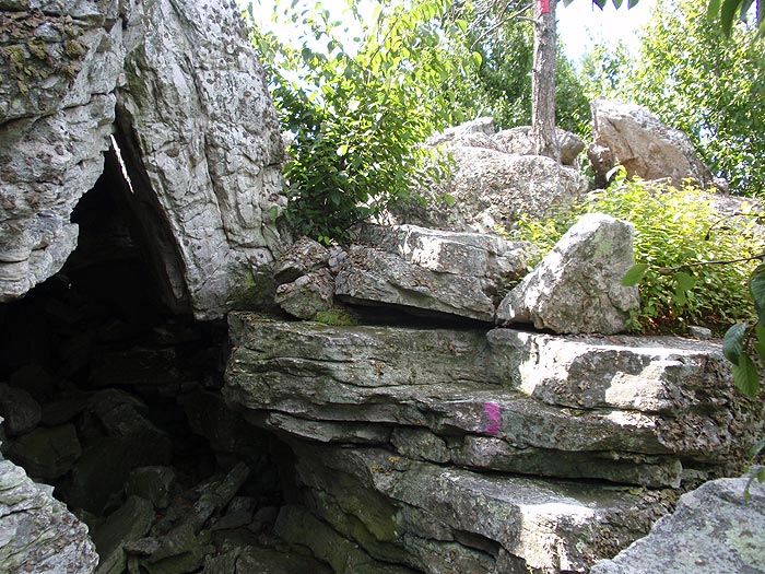
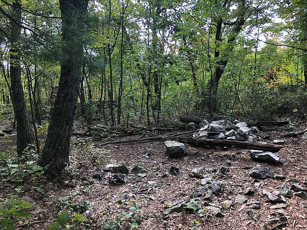
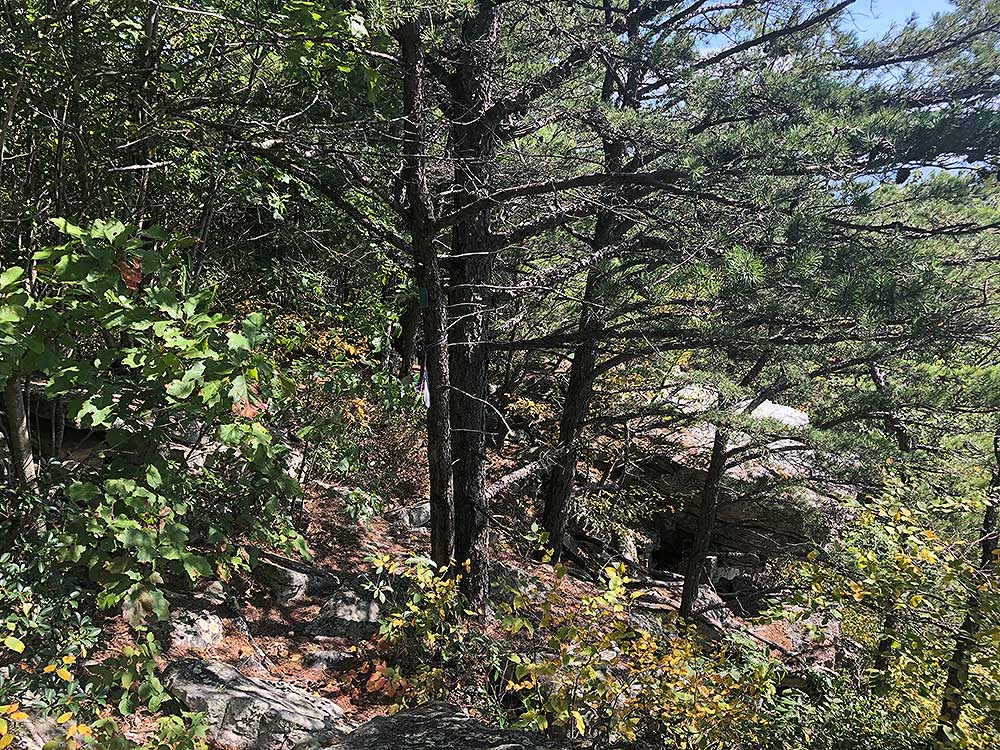
Mile 2.0 - Now the fun starts. Firstly, thank you to the trail builders! This used to be a formidable bushwhack. The Strickler Knob trail is marked with pink blazes on the rocks, but may not be there as they have previously been removed by the Forestry Service. The trail will also appear to end in several places, but keep heading along the ridge and you'll pick the trail back up. After 0.3 miles pass a rock outcrop and view to the west and north across from a campsite. From this vista, continue on the trail rock hopping for another 0.4 miles to another opening, and beautiful vista to the southwest.
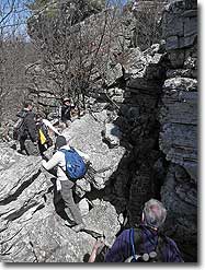
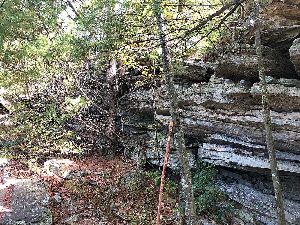
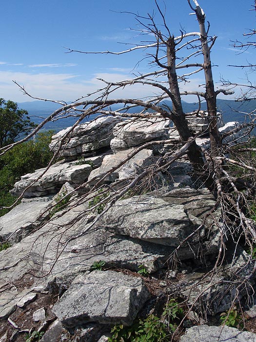
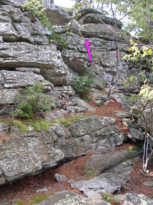
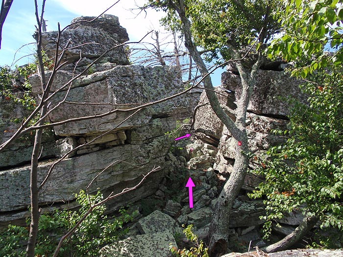
Mile 2.7 - From this point the rock hopping and bouldering becomes more intense. Shortly pass another campsite with views east, then the first obstacle is a 12ft climb over a small rock wall. Just before the the main summit pass through a group of three boulders. This is not the summit stack! Once through the crack continue to follow the blazes, pass a small overhang, and climb a 6ft ledge.
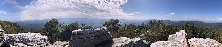
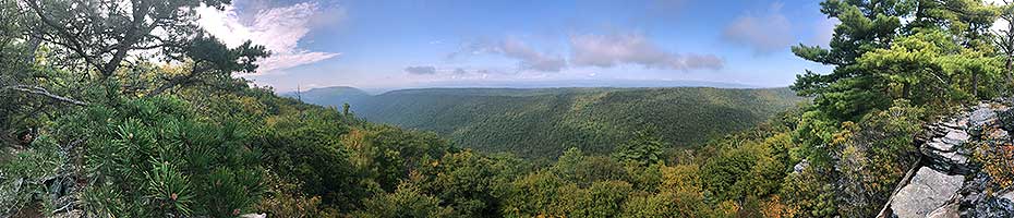
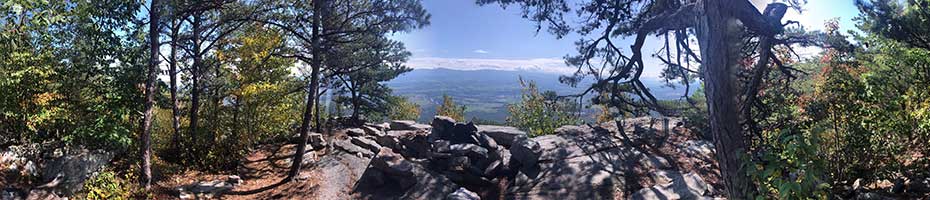
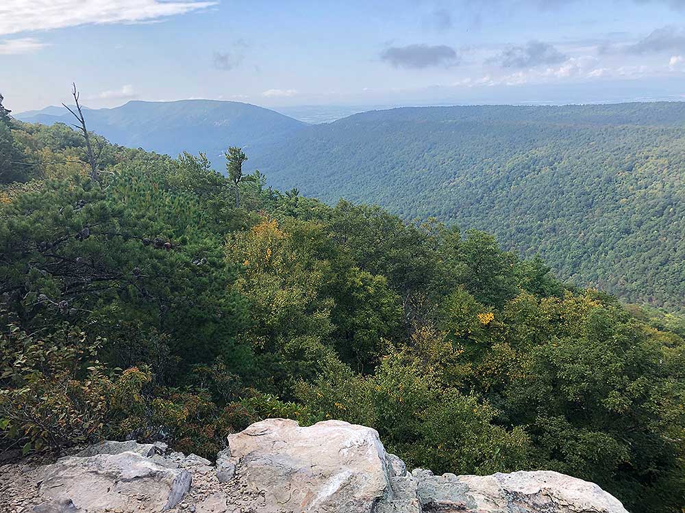
Mile 2.9 - The main summit is accessed through a rock crack on the left. Continue for another 30ft to the southern summit overlook. Climbing to the main summit provides a 360 degree view of the Luray Valley and New Market Gap. To return retrace your route.
Mile 5.8 - Arrive back at the Scothorn Gap parking area.
360° Panoramas
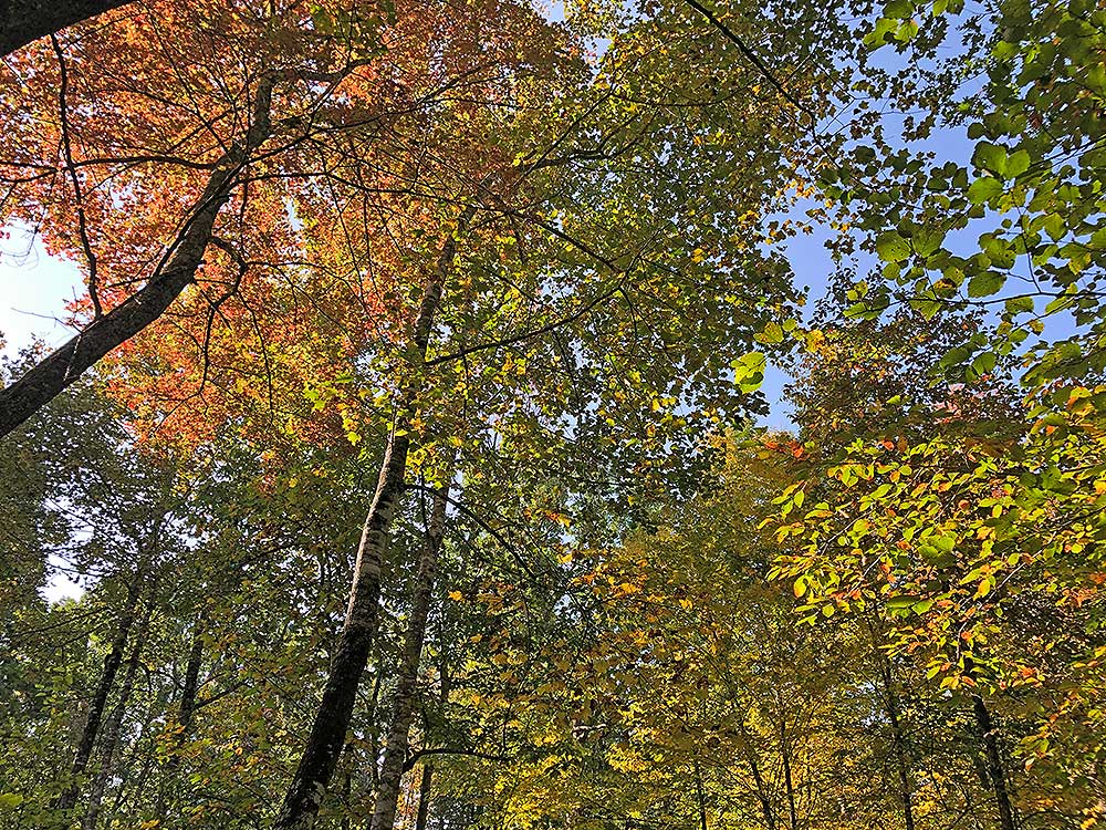
Late September
Early
August
Video
Vista from Strickler Knob
Strickler Knob Hike Comments
Archived Comments
By:Thi
Rating:
Date of Hike: Saturday, October 5, 2019
It is a quiet and peaceful hike, not many people on the trail. The view is great and there are some parts that require rock scrambling, which makes the hike more fun.
By:Meredith - 28 yr old runner
Rating:
Date of Hike: Saturday, August 24, 2019
The weather was perfect and view from Strickler Knob was even better than McAfees! I was surprised at how few others were on top on a 75deg Saturday but I didnt mind!
Do not start the hike from the suggested parking area... unless you absolutely hate yourself! And if youre stubborn like myself, at least bring trekking poles or find TWO good hiking sticks on your way to help with the one mile 45 deg incline. We had a total of 9.5 miles when we finished. Take the five mile route from Scothorn Gap, or hike in this route then return to Scothorn Gap trailhead and walk the road back.
By:Fabrice
Rating:
Date of Hike: Sunday, August 11, 2019
Decided to start the hike from the Massanutten Connector Trail parking because the route suggested by Hiking Upward is too steep on the return... I thought the total hike would end up being 9 miles but it turns out to be 11 miles total. Anyway it was a great day. In the 80s but dry so the heat didn't bother me much.
the rock scramble at the top reminded of Old Rag a bit. But the crowds weren't there which was very nice. I saw four other people that day.
I like the fact that you can access Strickler Knob from different starting points. you can make it the length you want.
By:Alan
Rating:
Date of Hike: Saturday, June 15, 2019
Its quite a long difficult hike. Most of the hike is through a very narrow path in the forest. Its very peaceful and quiet with very few hikers around. Theres not much of a view until you actually get to the end point. We hiked in mid June and it seems that the overgrown trees obscured most of the view at the knob.
The turn on the last stretch to the knob is very easy to miss. We had GPS and the all trails app with us and we still missed the right turn where the rock with the pink marker is located.
Definitely more for advanced hikers. Id recommend taking the shorter route since the long route through the Manhutten trail doesnt have any views unless you just want to do the long hike for a better workout.
By:Charles G.
Rating:
Date of Hike: Tuesday, April 16, 2019
We shortened the hike by starting at the Scothorn Gap Trail parking area. The Forest Service has posted notices about possible closures to the area for controlled burns through May 2019. The notices recommend calling the GWNF Lee Ranger District (540-984-4101) about upcoming closures. We came across a work crew near the spur to Strickler Knob, who said they were planning to conduct a burn in the coming days, so were glad we hiked before they closed the trail.
In preparation for the controlled burn, the Massanutten Trail between Scothorn Gap to the Strickler Knob Trail has become more of a road than a trail, with rocks moved away and trees and brush cut to allow for utility vehicles to pass.
The hike and rock scrambles were a hit. There were a few challenging sections, but nothing too difficult with a good pair of boots. However, the soles of my 22 year old Vasques starting detaching during the descent, which made for a slow walk back! On a beautiful spring day, we saw just a few groups of hikers and one group of backpackers. We didnt have the knob to ourselves, but theres plenty of space up there for everyone. Overall, a great hike.
By:Chris
Rating:
Date of Hike: Friday, February 15, 2019
So this is mostly my fault, but I felt like the directions weren't as clear as they could have been. If you park at the massanutten storybook trail head sign off of crimson road, DO NOT WALK towards the Massanutten Storybook Trail sign. Instead, turn around, and walk down the road for about a half mile or so and you'll see the sign for the actual massanutten trail. At this point, the directions started making sense and were easy to follow. Unfortunately for me, I wasted too much time trying to find the actual hike that I only got about 2-3 miles in before I had to turn around and beat the sun setting.
By:Tom
Rating:
Date of Hike: Friday, June 15, 2018
Did this for the workout element b/c it's rated difficult but was super surprised how wonderful Strickler's Knob was....well worth the effort...it's difficult tho....there must be easier ways to access the Knob if you look for them....The first hill down from the road/start is a killer! Wear good boots.....not really a hike for lite hiking or running shoes b/c of loose rocks underfoot.
You shouldn't do the Knob alone - as I did- because of difficult terrain and risk of a fall or broken ankle in a remote region. I didn't see a person all day. When you get there you are def up w the buzzards and hawks but they all moved off when I approached and loitered overhead while I ate lunch and enjoyed the wonderful vista.
The start at the Masanuttan trail crossing of Crimson Hollow road is well marked...don't look for it until you leave the hard top road and get into the Forest land and the road becomes gravel. Also, don't be put off by the bushwhack element of this hike....the SK trail is easily followed and the best part of the walk.
By:Katie
Rating:
Date of Hike: Thursday, June 14, 2018
This is a super fun hike, especially if you like rock scrambles and a little bouldering! There are also gorgeous 360 views from the top, though I would not recommend the Strickler Knob portion for someone with a serious fear of heights. I am in my 30s and did this hike with my 60-year-old mom. Both of us climb and hike a fair amount and even she was having some vertigo at the top. We found the hike to be challenging in places but totally manageable.
We started from the Massanutten trailhead and came back via the Scothorn Gap trail to cut out some of the elevation change and time at the end of the day. From the Scothorn Gap parking area, it's just over 2 miles walk on Crismon Hollow Road to get back to the Massanutten trailhead, making the entire hike just under 9.5 miles. The PDF topo map and guide above (which you can download to iBooks) were spot-on and very helpful. I think we were lucky because there were clear pink blazes on the trail, but I imagine it would be much more difficult to stay on the path if they had been removed.
Watch out for rattlesnakes, as we almost stepped on a very large and angry one coming back down toward the Scothorn Gap parking area!
By:Alex H
Rating:
Date of Hike: Saturday, March 31, 2018
Wow, This hike should be a 6 difficulty. But you should do it.
1. Its brutally step if you hike the 8 mile section described above (which ended up being closer to 10 because the fire road was closed and I had to walk up the road .5 mile to get to the trail)
2. The section up to the knob (pink blazed trail) is pretty much a half a mile of rock scramble.
3. A sincere thanks to whoever marked the pink trail up. Nonetheless, its a hard trail to follow, you gotta pay close attention.
Now that I've said all that, You should absolutely do this hike. Nothing worth having comes easy. The views at the top are some of the best in the valley. There is also a Blue blazed offshoot near Strickler knob that takes you to a great spot overlooking Luray, better than on top of Strickler to me.
Last thing to note, there was a turkey vulture nesting under some rocks right under the knob which I startled as I was climbing. If your unfamiliar those large birds, they make the noises of a much larger, perhaps predator animal. It may even cause one to shriek in fear if your not expecting it. Just fyi.
By:Abhi
Rating:
Date of Hike: Sunday, October 15, 2017
This is a rocky hike. It is a bit difficult and because the markings are not done properly there is a chance that you could be lost. It happened with us twice where we went in the wrong direction. Overall the view is very nice and if you are looking for a challenging hike then you should visit.


