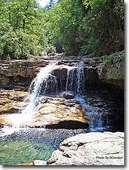
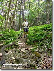
A reclaimed old iron ore mining area, St. Mary's Wilderness has an abundance of diverse scenery from waterfalls, fern forests, open meadows, valley vistas, and high mountain wetlands, in Virginia's largest designated wilderness area. No wonder it's one of the most popular circuit hikes in the northern section of the Blue Ridge Parkway.
Note: The trails in St Mary's Wilderness are no longer blazed.
Both Hikes:
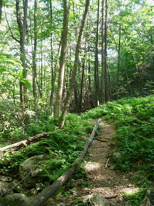
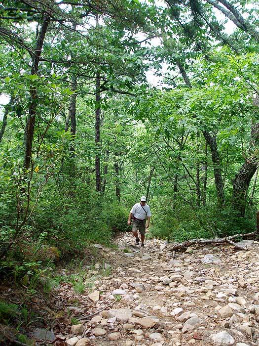
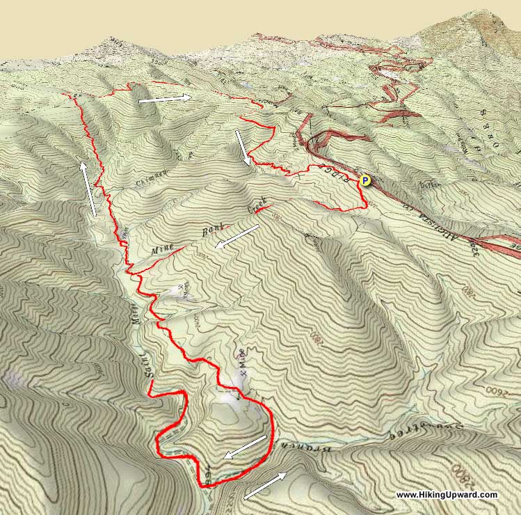
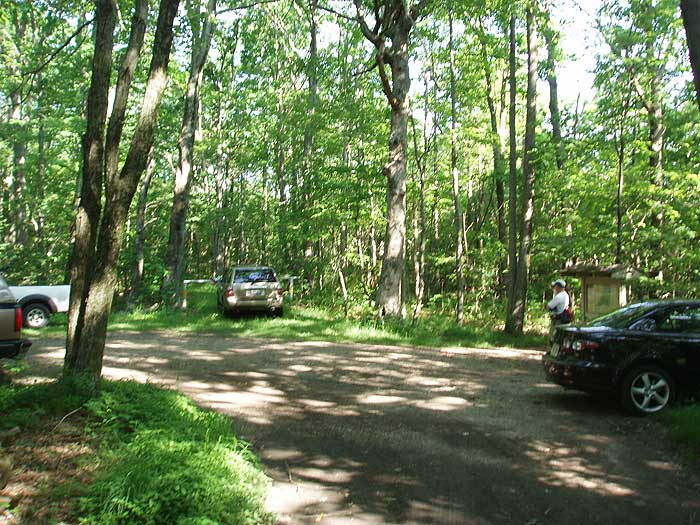
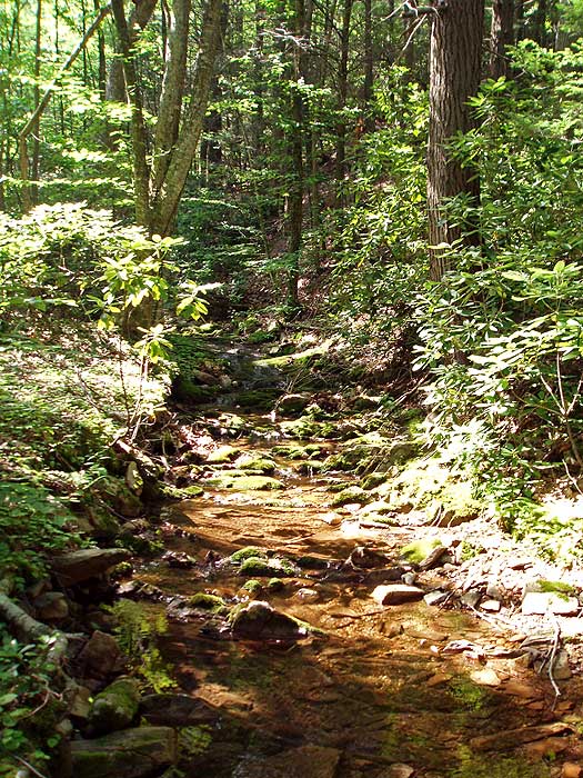
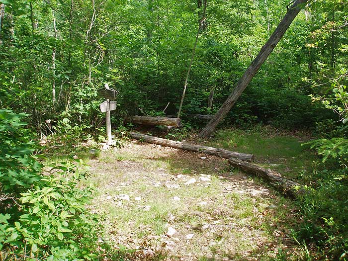
From the parking area, start down the narrow trail just to the left of the bulletin kiosk (not the wider road continuing past the closed gate), and walk 150 yards to the intersection of the Mine Bank Creek and Bald Mountain trails. Turn left downward on the Mine Bank Creek Trail as it descends into the valley, crossing Mine Creek several times, then passes through a rhododendron area before ending at the intersection for the St. Mary's River Trail in 1.9 miles.
For The Additional 5.5 Mile Out/Back To St. Mary's Falls:
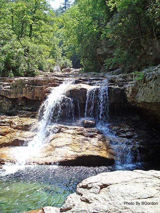
Turn left downstream on the St. Mary's River Trail passing several campsites before reaching the intersection of the St. Mary's Falls Trail in 1.9 miles. Note: There is no camping permitted beyond this point. Turn right upstream fording St. Mary's River passing several swimming holes before there is a blowout on the trail in 0.4 miles. Follow the footpath to the left of the blowout that leads around the blockage back to the trail. At 0.6 miles from the last intersection the trail appears to end at a cliff about 15ft above the river. Climb down, re-ford the river, and climb up a steep bank. The falls are just ahead from this point. To continue, retrace your steps back to the intersection of the Mine Bank Creek and St. Mary's River Trails. (Thanks to MRHyker for the St. Mary's Falls trail notes.)
Both Hikes:
If you did the out/back to St. Mary's Falls continue straight on the St. Mary's River Trail. If you are doing the shorter hike, turn right onto the St. Mary's River Trail from the Mine Bank Trail.
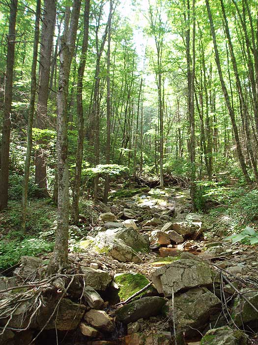
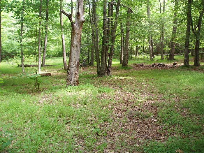
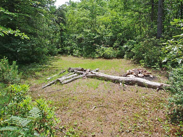
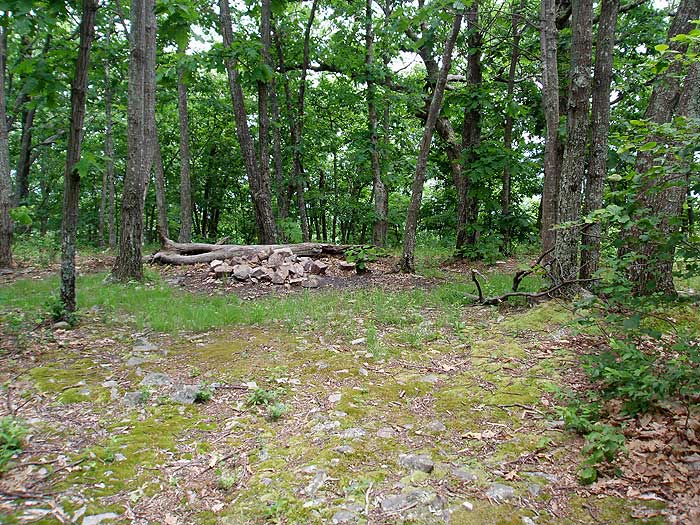
Shortly cross a creek before passing a campsite on the left in 0.2 miles. Continue along the trail for another 0.2 miles, cross another creek, then directly ahead over a small mound is a large group camping area. Stay right climbing steeply for 50 yards and pass another campsite before reaching the main St. Mary's River Trail intersection in 0.1 miles.
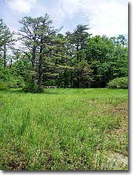
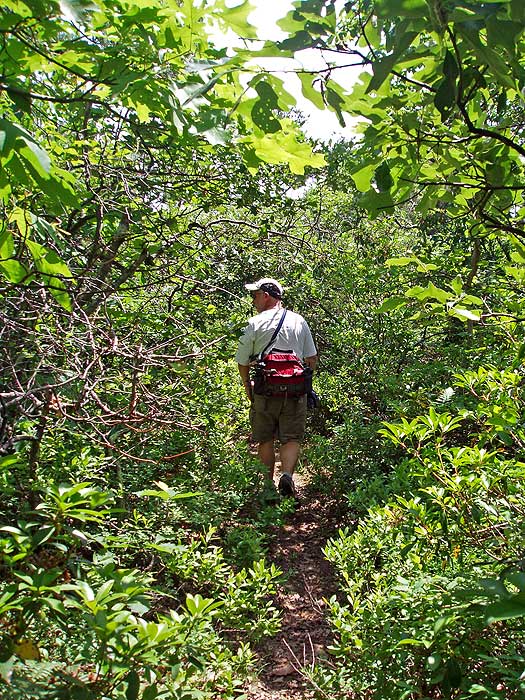
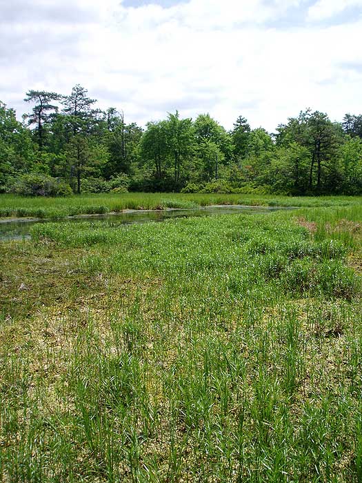
Turn left (turning right would lead the 0.1 miles back to the stream crossing you just made), and follow the trail as it becomes considerably more overgrown with rhododendron before climbing out of the valley. The trail will level out in 2.0 miles from the last intersection and arrive at the Green Pond area. There is a bulletin board kiosk on the left, and following the small trail on the right leads to a multi-tent camping area. Look for a small trail that leads to Green Pond here.
Return to the bulletin kiosk and continue on the St. Mary's River Trail and pass another pond view on the right in 50 yards, then arrive at what looks like a trail intersection. Continue straight and in 100 yards the trail will veer right. Continue for the remaining 0.1 miles on the St. Mary's River Trail where it ends at Forestry Service (FS) Road 162.
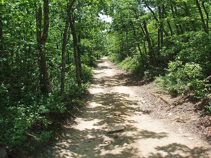
Turn right. Note:FS162 is open to motorized traffic. Be prepared to see 4x4 vehicles and dirt bikes. Follow FS162 for 1.2 miles as it descends then climbs to the high point of Flint Mountain.
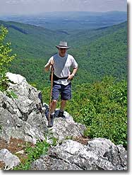
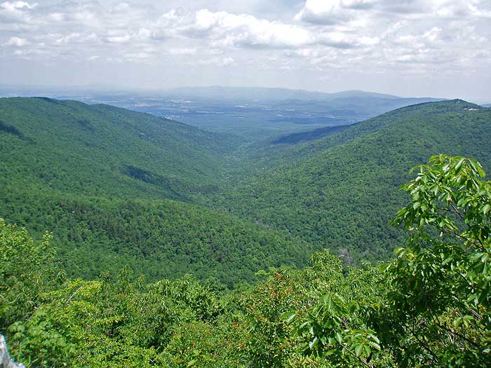
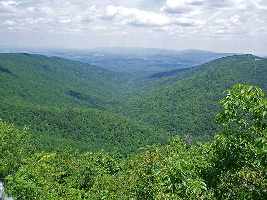
150 yards from the high point on FS162 there is a Forestry Service side grade used to clear debris. Look for an unmarked trail on the left that in 100 yards goes to the best vista of the hike. The view is of Kennedy Creek, with Kennedy Ridge on the left, and Kelly Mountain on the right. Return to FS162 and turn left continuing to descend the mountain. Follow the forestry road for another 1.9 miles, passing several campsites with views before arriving at a split in the road.
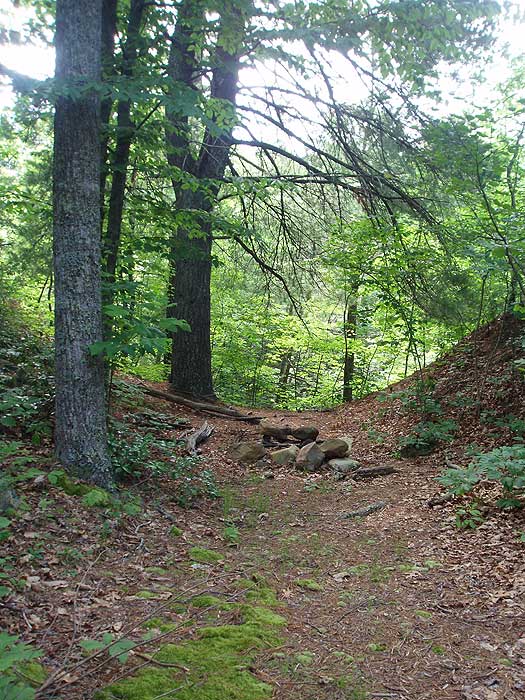
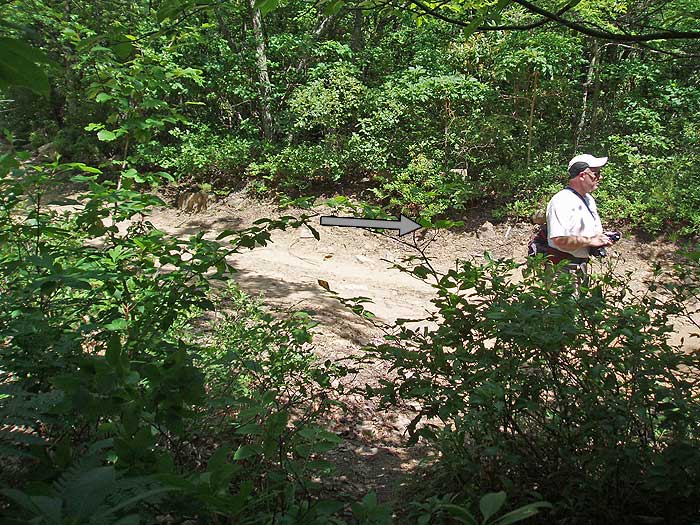
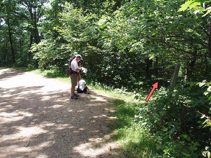
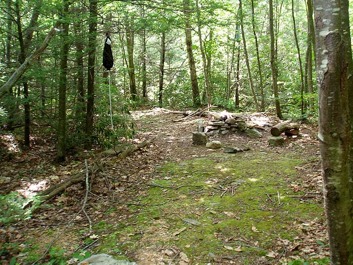
Stay right and in 0.4 miles, just before FS162 bears left, look for a single post and unmarked trail on the right. This is the Bald Mountain Trail, and is not marked at the junction. Turn right onto the Bald Mountain Trail as it descends the valley and arrives at a small campsite at its low point in 0.9 miles. Continue as it starts climbing back towards the ridge, then arrives at an unmarked trail intersection in 0.9 miles from the campsite.
Stay right for another 0.2 miles back to the intersection of the Mine Bank Creek Trail. Turn left uphill for the remaining 150 yards to the parking area.
Late June
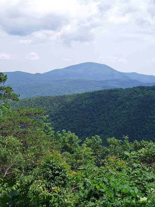
Vista
St Mary's Wilderness Hike Comments
Archived Comments
By:Jonny E
Rating:
Date of Hike: Sunday, October 6, 2019
Hiked from parking lot on St. Mary's Rd to falls out and back with 6 yo daughter. Beautiful day, early fall conditions. First time I had done this trail/area in ~7 years. Used to be rugged and difficult to find decent footing (a good challenge). In the meanwhile, lots of trail work has been completed--clearly defined trail, easy to walk on (no more sketchy tip toeing on steep, crumbly embankments), river crossings easy (granted in drought conditions). Overall, a beautiful day great that the trail is in such good condition as to be accessible for little-ish kids.
By:Rice-a-roni
Rating:
Date of Hike: Saturday, June 8, 2019
Hiked from parking area along Mine Bank Creek to intersection with St. Marys River Trail then east to first campsite. Trail is very overgrown with rhododendrons and has a lot of downed trees across the trail. Had to climb over them three times, duck under 12, and crawl under or pack-off one or two. There is practically no where to get off the trail to camp along the way due to steep terrain and overgrowth. If youre spending the night, plan on making it all the way to a designated campsite. Creek and river are beautiful but lack of trail maintenance and strenuous hike make this juice not worth the squeeze.
By:John
Rating:
Date of Hike: Sunday, November 25, 2018
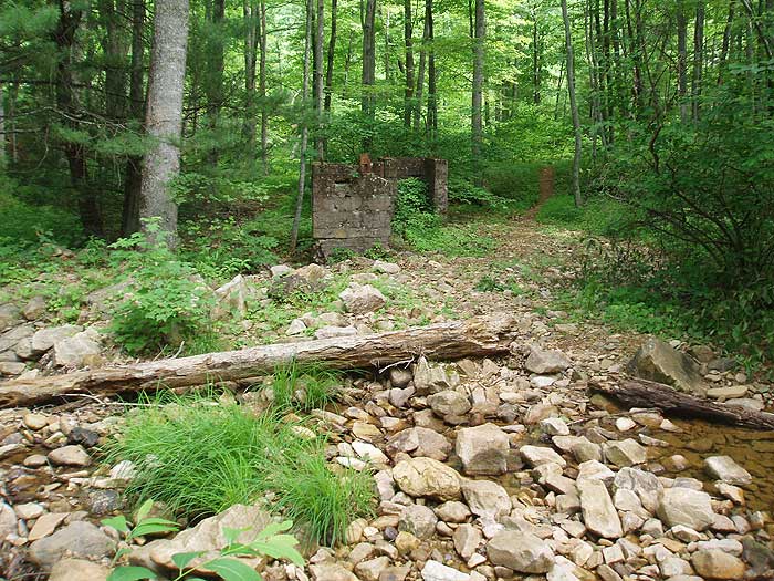
Sweet hike! Walked up to the falls along the river trail, making several stream crossings along the way. The water was gin clear but high, fast and freezing. It made for exciting crossings. After walking to the falls, doubled back and ascended Mine Bank Creek and beyond before turning around after 3.5 miles (well beyond the abandoned mine). Campsites along the creek seemed pretty heavily impacted but up above the St. Mary's river there were ample opportunities for solitude. Loved the narrow trail and blow-downs. It's wilderness!
By:Kristen L
Rating:
Date of Hike: Saturday, July 28, 2018
This hike wasnt at all what we expected. We decided to hike it counterclockwise, and wanted to camp at the view mentioned in the description. Overall, the trail was well marked (minus one sign by the Tory Ridge Trail that was misplaced) so it was easy to do counterclockwise. However, we saw no view, so we disappointly continued on hoping to make camp at the next campground. From the Jeep road on, everything was EXTREMELY overgrown. We were frequently getting scratched or had trouble following the trailhead across camping areas and creeks. This made the hike difficult and unpleasant. Every camping area we came across was over grown and not appealing. We ended up hiking the whole loop in one day (partly through the night), completely unsatifed, and skipped the water fall. When we got back to the parking area, cars were still there, so those people likely camped by the water fall. We highly recommend doing the out and back hike to the water fall only, and completely avoiding the st Marys wilderness loop. Unless you want to get scratched up and feel lost, it isnt worthwhile. I cant speak much about the waterfall since we didnt see it, but I can assume its the better option if you are interested in this area
By:chungo
Rating:
Date of Hike: Tuesday, June 5, 2018
Didn't get to hike. There are signs from the forestry dept. at FS162 and the parking area on the BRP that says the access to St. Marys from there is closed due to wildfire. $5000-$10000 fine for anyone caught there. Didn't risk it and went somewhere else. Had a buddy manage to get in at another location and from his pictures it looks like St. Marys wasn't affected by the fire.
By:Shari
Rating:
Date of Hike: Thursday, April 5, 2018
LOVED this hike! Gorgeous views of waterfalls throughout the hike and great scenery all around. We went on a Thursday and didn't see a single other person, but it might be more crowded on the weekends or as it warms up. While the trail was unblazed and unmarked, it was relatively easy to follow until the end. The last section on Bald Mountain Trail was very difficult to stay on and we got off the trail accidentally a few times. There were several stream crossings, most of them easy enough to do, but some of them got our feet wet.
The hikingupward notes were pretty clear and we followed the trail exactly as it had been described.
The view of Kennedy Creek was stunning and absolutely worth it, so make sure you are looking for this side trail because it is also unmarked! Enjoy!!
By:Henry
Rating:
Date of Hike: Friday, October 20, 2017
Did a hike/camp/hike on the shorter leg of the loop, with the waterfall section, and had an excellent time! Though the trail didn't have many markings, it was very easy to stay on trail, given the season and higher visibility. Perhaps summer foliage would obscure the trail more than autumn.
The campsites to the east of the crossroads for the waterfall spur were wonderful. Very spacious, and tucked away around the old iron mine tailing piles. It was surprisingly crowded on that particular weekend, but the campsites are still pretty visually secluded from one another - though we heard people from time to time, we couldn't see over to anyone's sites. Due to being in the bottom of St Mary's River gorge with a handful of feeding tributaries, the air was cooler and more humid, so if you camp down in the gorge in colder weather, be prepared for that extra condensation.
The waterfall spur on the ridge above the river was stellar. Great sneak peaks of views looking over to the southern slopes of Cellar Mountain was a treat along the entire ridge. However, when you loop around to walk down Sugartree Branch to get to St Mary's River, the downhill was a little wet at times. Not enough to soak our feet, but we had to be careful with our footing. The trail along St Mary's River was more crowded than the rest of the hike. If you would rather do a quick hike to the falls and skip the loop all together, there is a parking lot further down St Mary's River that provides much easier access than hiking down from the Blue Ridge Parkway!
Overall, this was an excellent hike, but I am giving it 4 out of 5 stars because of the crowded path along the river going up to the falls. It's obviously not terrible that other people are using the path, but it was enough for me to knock it down that one peg. I would absolutely recommend taking a whole weekend to take it at a leisurely pace and enjoy the views and tranquil sections along the tributaries.
By:will m
Rating:
Date of Hike: Saturday, July 22, 2017
I did this trip counterclockwise, along with the spur to St. Mary's falls, as an overnight backpack. Most of the way was shaded, which was a relief, as it was extremely hot. The Bald Mountain Trail and St. Mary's River Trail are both quite overgrown in spots -- not so much that you'll lose the trail, but you will be pushing through brush at many points. You'll get a few abrasions on exposed skin, but nothing bad. The trail to Saint Mary's falls is tricky to follow, with many side trails and no obvious direct route, but if you're there on a weekend, there are enough people coming from the lower trailhead that you can pretty much follow the crowd. The falls themselves aren't all that impressive, but the walk upstream is unwaryingly beautiful, and there are numerous pretty places to stop where you can find solitude even on a busy day.
The campsite along the river trail are almost all nice, and many of them will accommodate large parties.
The stellar portions of this trip are the Mine Bank Trail and walk to the falls. The rest of the loop is pleasant, but nothing special. I'd rate the loop by itself as 3 stars, the loop with walk to the falls as 4 stars, and the combination of loop, falls, and camping at 5 stars, since the campsites are really lovely.
By:Chris & Nathanael Wilson
Rating:
Date of Hike: Saturday, July 22, 2017
Did this hike as a loop over two days. Day one we started at the parking lot and hiked clockwise and made camp at Green Pond. Then on day two, we continued on FS162 all the way to the BRP and hiked along that to the parking lot. We detoured bald Mountain Trail because my son was carrying way more than he should and was worried about more ascents on Bald Mountain. (He is 12 and it was his first backpacking trip.) Pros: Most of the trail is shaded which made the July temps a little more bearable. Scenery was nice and the trail was really secluded. Didn't see anyone until we hit the jeep trail. Plenty of spots for water along St Mary's and some really beautiful rock stairs along the waterway. Cons: The trail is really overgrown in some spots. So much so that rhododendrons from the right side of the trail are easily reaching in to the left side of the trail and vice versa. Mosquitoes and biting flies at Green Pond were really horrible.
By:Diego
Rating:
Date of Hike: Saturday, June 3, 2017
Did the 10 mile loop in the opposite direction as described. Great weather. FS 162 (also called Bald Mountain Jeep Trail) was a pleasant hike, and mostly flat along the ridgeline. 75% of it was shaded and I had to let a couple jeeps go by. At least five campsites are located right on this road. At the point where I should have turned left onto the St Marys' River Trail, I continued on FS 162. Note to everyone going counterclockwise, turn left at the kennedy ridge trail intersection. There will be a wooden kiosk thing on the left with no information, just posts. Shortly after that, I lost the trail again near green pond, although I probably shouldn't have. If you keep going straight, you'll find a kiosk on your right with actual information. It is after this that the trail becomes very overgrown, but not difficult to follow. Keep going straight until the trail descends more steeply towards the first of several stream crossings and flattens out. The campsites by the junction of the Mine Bank Creek Trail and the St Mary's River Trail are the best on the loop. They are about 0.15 miles from the junction. The 2 mile hike up the Mine Bank Creek Trail to finish is the most difficult of the loop, but not too bad. I actually enjoyed this part because the trail runs right next to the creek and crosses several times. There are several small waterfalls and 1 or 2 campsites as well.
On a previous trip I had hiked in from St Mary's Road to the waterfall, so I know how awesome it is. That hike is probably five stars, but expect to see waaayyy more people in that area. The loop hike I described above I rate a 3 instead of a 4 due to the overgrown and unmarked trails. If combined with the hike down to the waterfall I would give it a 4 or 5.
This wilderness area is great with tons of campsites and water access.


