| By:
Sean |
Rating: |
 |
Date of Hike: Saturday, September 14, 2019 |
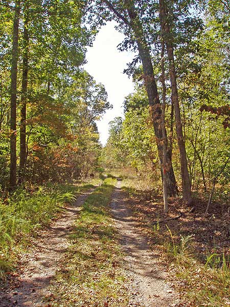
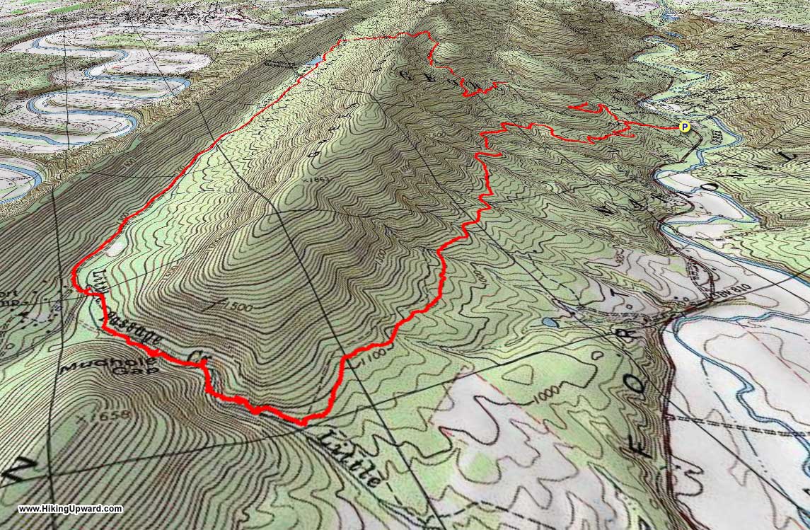
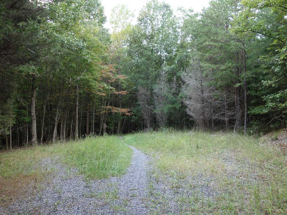
I was looking for a longer hike with not too much elevation gain and this turned out to be a good choice. About half the hike is forestry road, wide and clear. Some reviewers of other hikes prefer rocker trails to roads but there are so many rocky hikes on this site I found this to be a nice change of pace. When you get to the steepest uphill part, you've already gained a lot of elevation without realizing it and so that steepest section is not so bad. This hike shares trails with other hikes on this site which I've been on and like also: Little Passage Creek, Signal Knob, Meneka Peak, and Three Top Mountain. Of all these, I think this is my favorite (followed by Little Passage Creek) and I'd hike it again.
|
|
| By:
SteveC |
Rating: |
 |
Date of Hike: Saturday, March 30, 2019 |
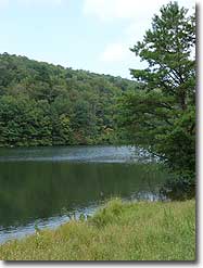
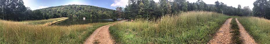
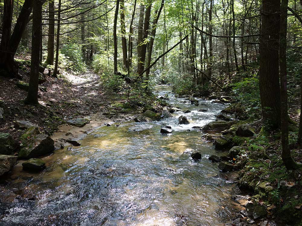
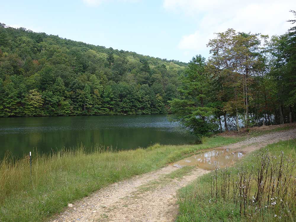
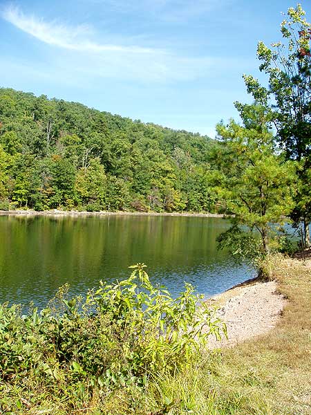
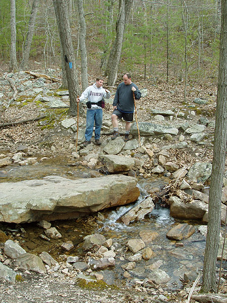
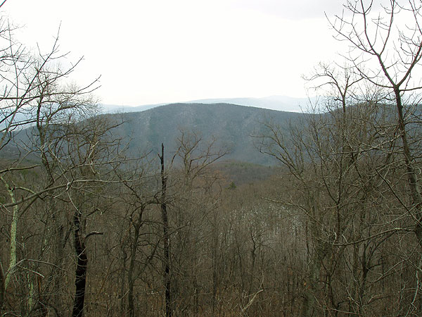
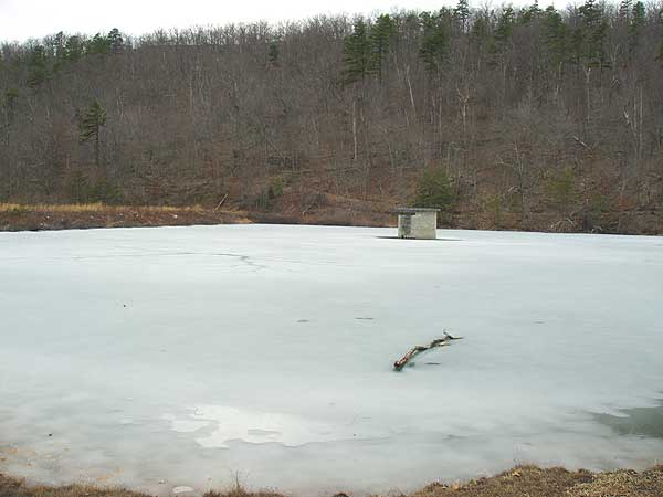
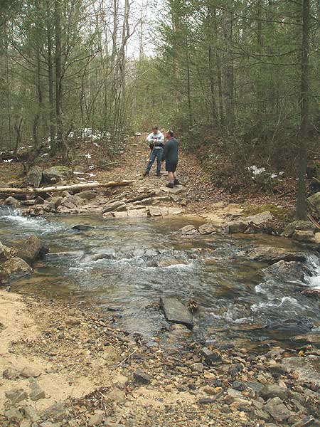
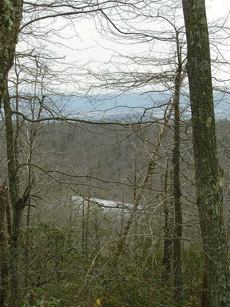
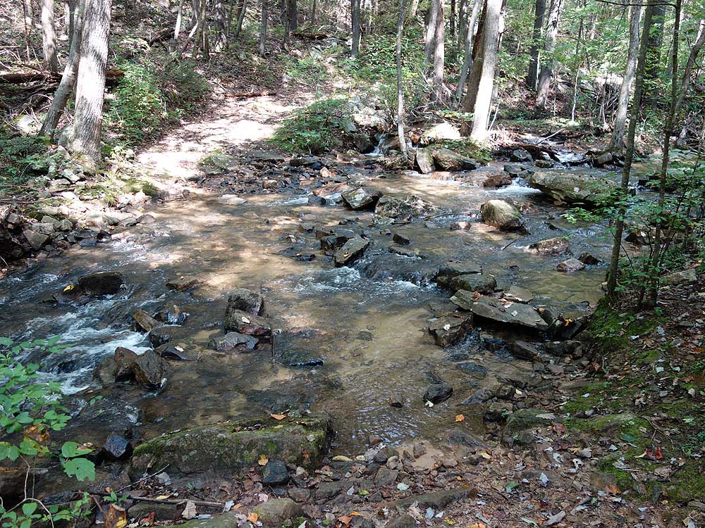
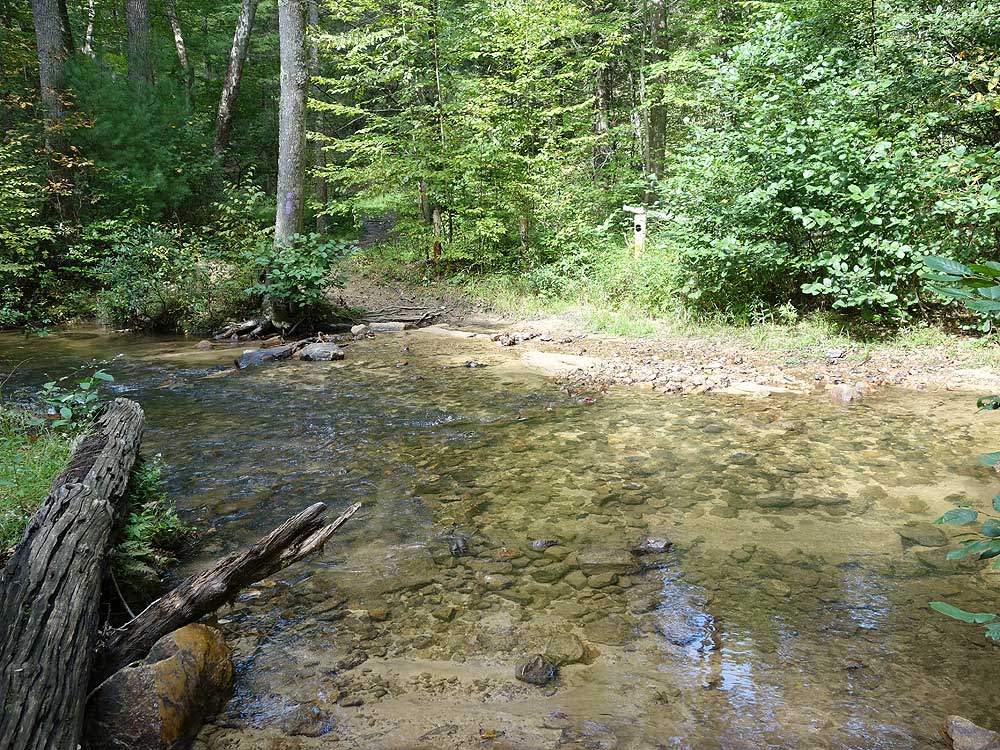
Overall, straight forward hike. Directions / map were spot on. There were some downed trees between the first and second stream crossing. I was startled to find that there were vehicles driving on the Massanutten trail. Based on this, I decided to divert to take the loop on the west side (mile point 6.6 in the directions) of the reservoir and I'm glad I did, since when I got to the dam head, there were probably 30-40 people having a bbq up there. The views were unimpressive even without leaves being on the trees yet, but it was certainly a nice hike.
|
|
| By:
C$ and da BuGG Boyz |
Rating: |
|
Date of Hike: Saturday, June 9, 2018 |
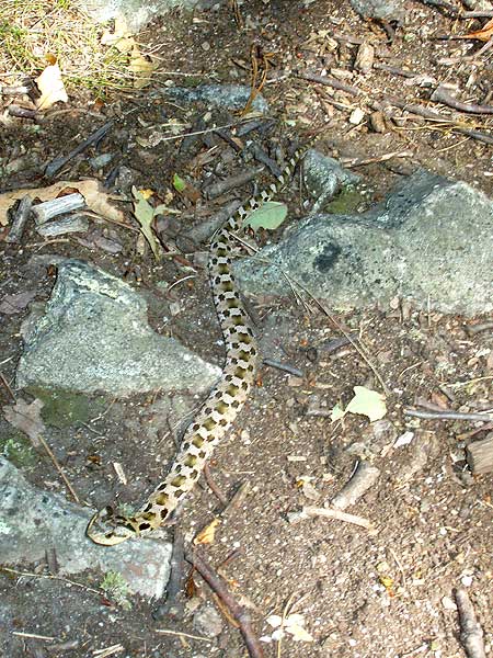
This hike is solid, nothing spectacular. There were plenty of great campsites and lots of water. The creek crossings did get a little old. The fire roads were not bad at all. We saw a 5' king snake and a baby box turtle. Very little views, I imagine in winter it would be better. The initial climb was fairly long and difficult, we were carrying 40 lb packs however. We did miss the white cutoff path at the end, not sure if it was even marked since we were paying close attention. We had to take the fire road to the main road where it dead ended and do a forced march quickly down the public road. Took us about 5.5 hours with a short lunch. A few people at the beginning of the hike but not a single person after the reservoir.
|
|
| By:
Cham101 |
Rating: |
|
Date of Hike: Monday, September 8, 2014 |
I want to thank you for the gpx track for this hike. I spent a couple of nights along the Maneka Peak ridge and decided to do some bushwhacking. I had copied the Mudhole Gap track onto my GPS before I left home. I put the GPS in my daypack only as a safety precaution. My bushwhack launch point into the forest was at a switchback turn. I had a great time poking around until I decided to return to the trail. The sky was overcast and I had got myself turned around a bit. I pulled out the GPS and set a waypoint on your track and was back on the trail in no time. Thanks a bunch!
|
|
| By:
Herb Wilburn |
Rating: |
|
Date of Hike: Wednesday, February 5, 2014 |
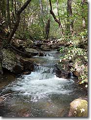
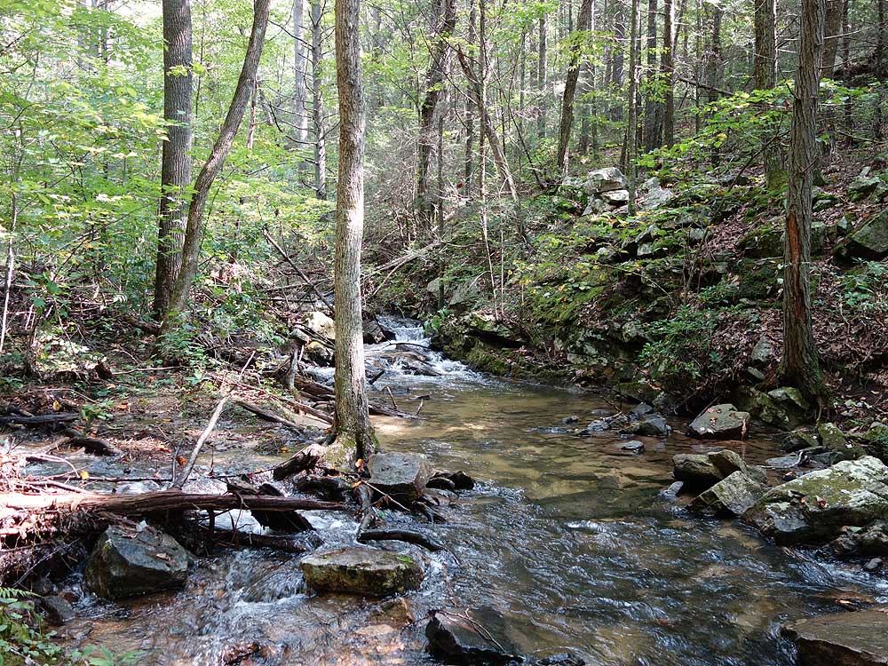
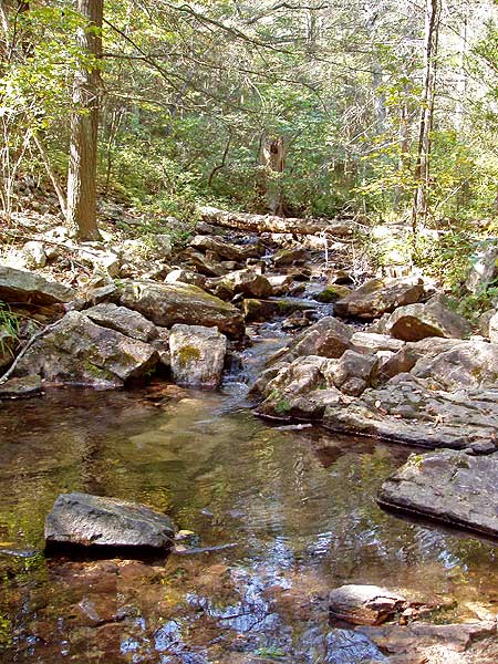
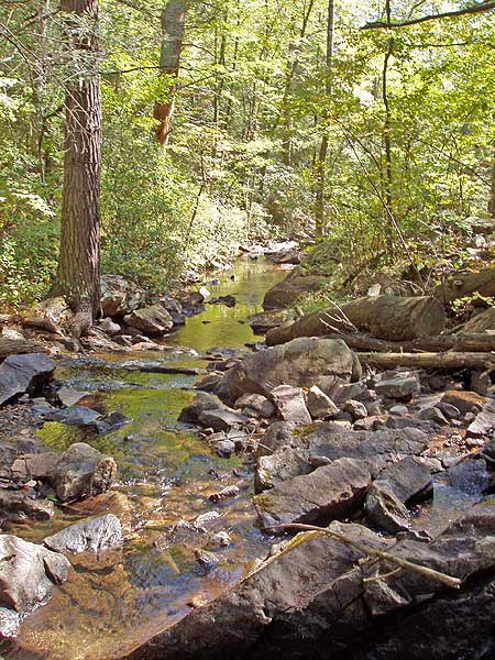
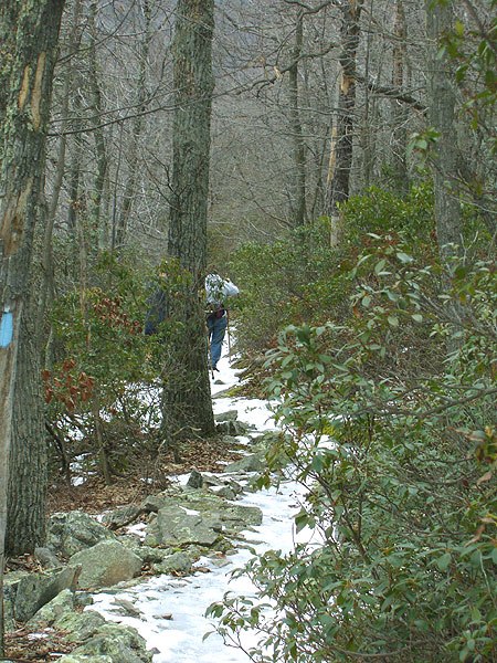
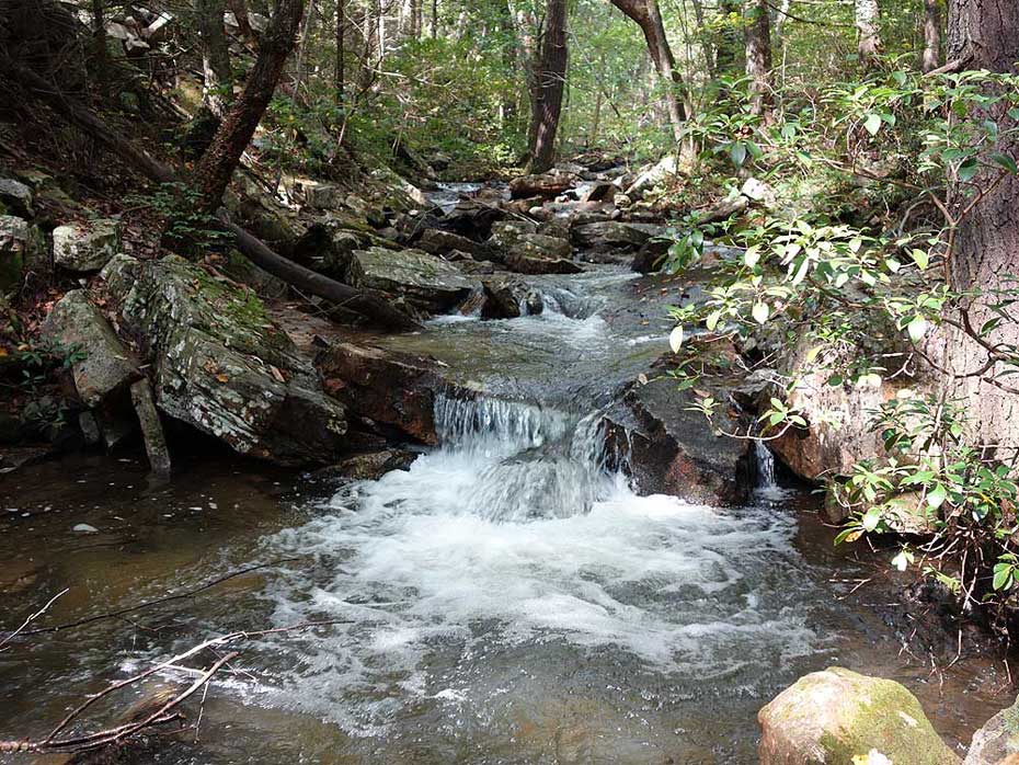
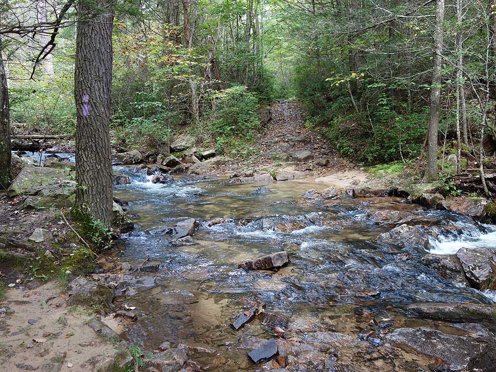
We were iced out of school, so I took this long hike (made longer by using the pink trail to connect back to the blue). With every twig encased in ice for the first 2/3 of the trip, it was a wonderland, making up for the fire road hiking. The mudhole gap trail (purple) that parallels Passage Creek was really nice, the creek was full making crossing cold but still do-able. I'll hike again in the spring, there should be some nice photo opportunities while the creek is still running strong. I recommend the hike, just know you're going to be out there a while.
|
|
| By:
Sarah |
Rating: |
|
Date of Hike: Saturday, May 21, 2011 |
This was overall a nice hike. I had my dog with me and she enjoyed how much water was available. There were lots of wild flowers, and many more to come at the higher elevations that will be blooming in the next week or two. There was a little too much hiking on service roads for my liking, which is why it got 3 instead of 4 stars. It's a nice hike up to the peak. The reservoir was really pretty, but the service road after it got boring after awhile. The streams were very full, and I had to take my boots off at a couple crossing on the mudhole gap/purple trail. It seems like it would be a very hot hike in the summer. I would like to do it again in the late fall/winter/early spring when the leaves are off the trees. I think you'd have some really good views then. It wasn't a very hard hike technically, but 12.7 miles is enough to wear most people out. I would go on the hike again, but it wouldn't be my first choice.
|
|
| By:
Andy |
Rating: |
|
Date of Hike: Saturday, May 1, 2010 |
I was torn between a rating of 3 and 4 for this hike but decided to be generous.
I parked at the bear wallow parking area to cut off some of the hike. I have been on the section of the tuscarora trail from bear wallow to the signal know parking area and didn't think it was worth repeating for this hike.
I really enjoyed the walk along little passage creek and by the strasburg reservoir for all of the wildflowers. This section is a road but it is grown in quite nicely and well shaded.
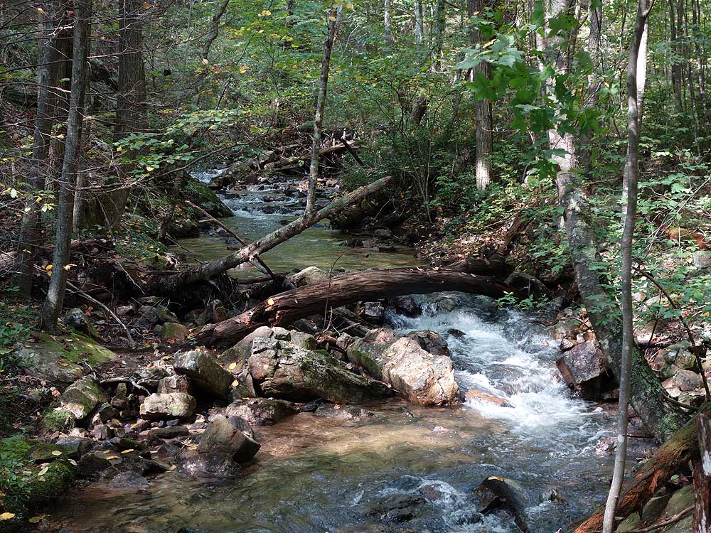
Little passage creek through mudhole gap itself was another highlight.
The mudhole gap trail after the gap itself was dismal. That road is larger and not well grown in. I hardly saw any wildflowers at all along that route. I had wanted to stop for lunch but there was no pleasant place to do so. (I ended up eating a late lunch at Elizabeth furnace.) The lone highlight of this section was passing under a large purple flowering tree that filled the air with a lovely aroma. (Perhaps someone can enlighten me as the the species of that tree - 2 inch bell shaped purple flowers, large tree (reached the canopy))
|
|
| By:
Peripatetic Tom |
Rating: |
|
Date of Hike: Wednesday, March 25, 2009 |
Pros: 1) Proximity to DC. When I hike, I prefer at least a 1.5:1 boots to wheels ratio (or time spent on the trail vs. time spent in my car). This hike, being only an hour and 15 minutes from Arlington, provided nearly a 2:1 ratio for me (even more trail time for most folks) 2) Little Passage creek and the reservoir -- I love my lab and he loves water. 3) Only encountered two mountain bikers. This probably was because I went on a cool, overcast Wednesday in March. (I wouldn't recommend this hike on a warm weekend, given its proximity to DC and Front Royal.) 4) If you're somewhat out of shape, this is a good hike to shake the rust off your legs and clear the static from between your ears. After not having hiked all winter, this was long enough without having any particularly steep ascents or descents.
Cons: 1) Seemingly at least half of the loop is on wide, relatively flat forest service trail/road. Good for bikers, but somewhat boring for hikers. (You might want to consider the suggestion of one of the earlier reviewers to stay on the blue trail rather than taking the left onto the orange trail.) 2) No challenges. While this hike is well suited to rusty or inexperienced hikers (though not too out of shape, since it is 12.7 miles long), I wouldn't recommend this for someone seeking challenging climbs.
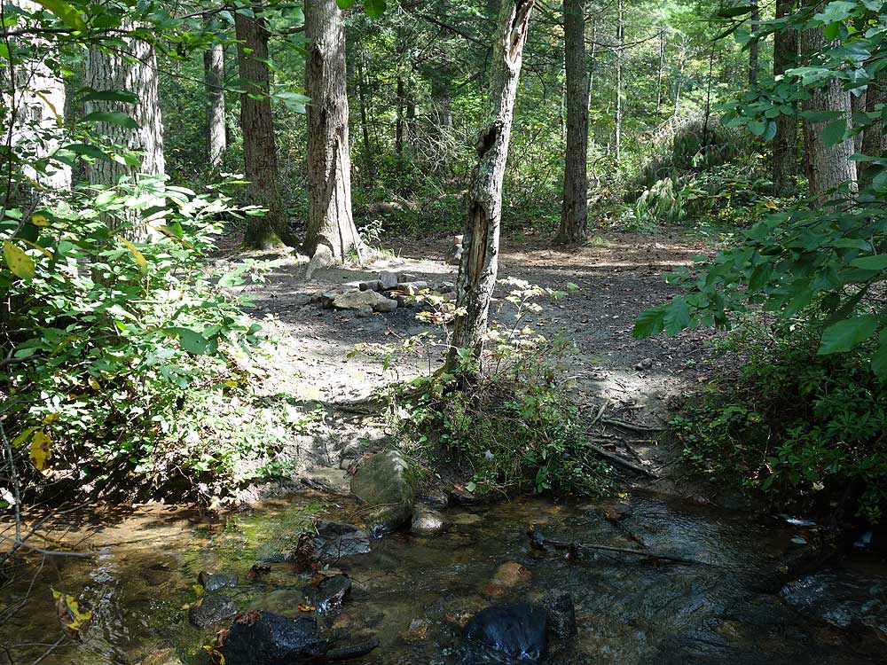
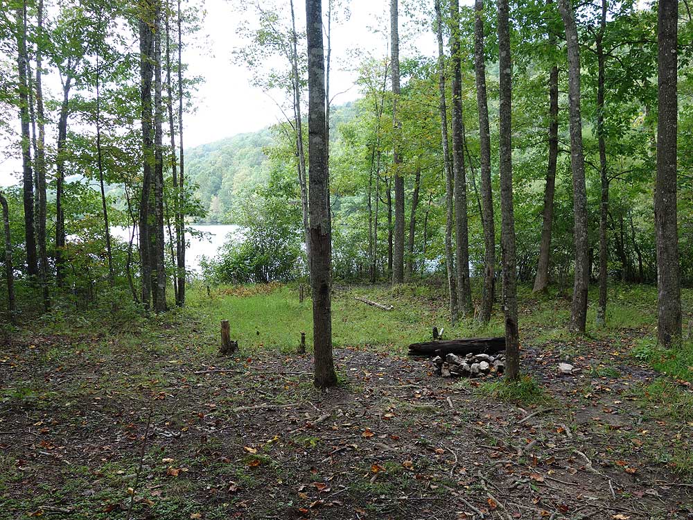
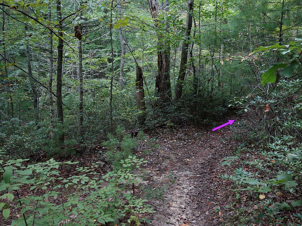
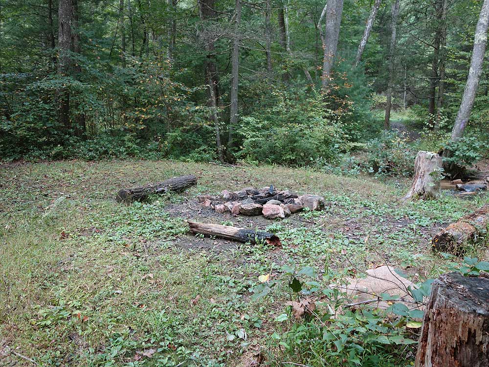
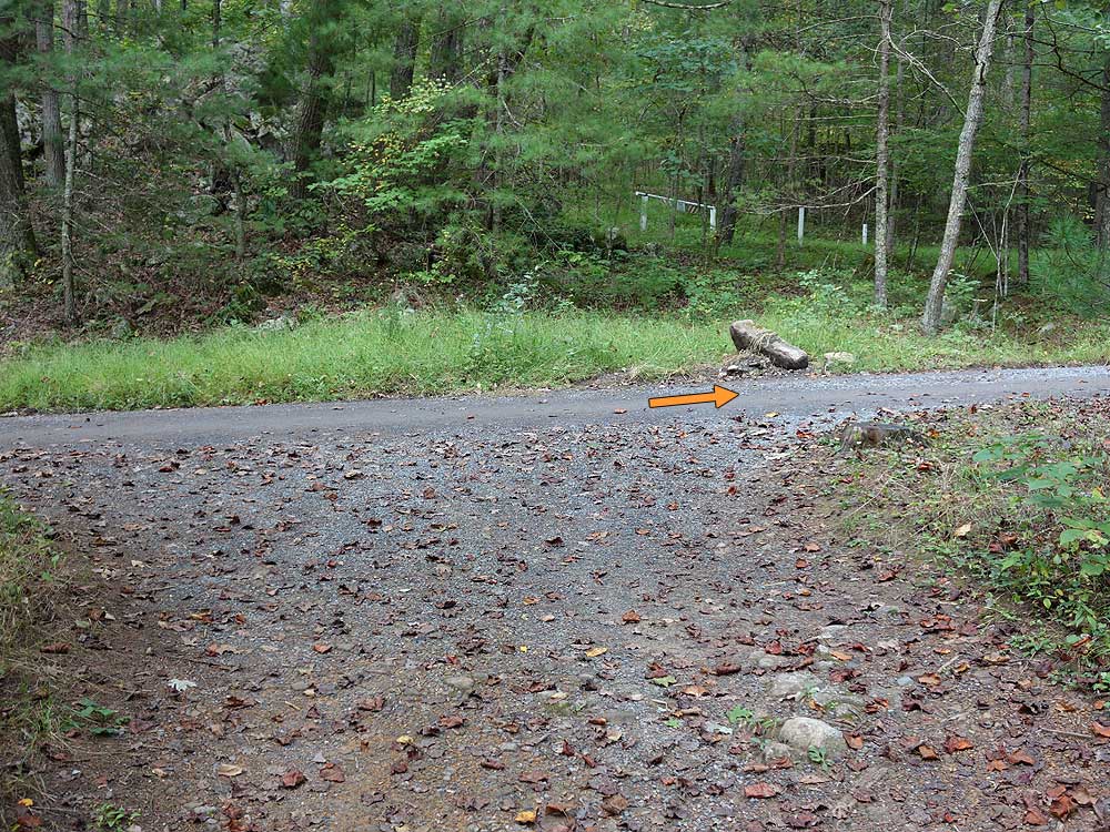
Editorial Note: The trail description near the end says something like "after 3.1 miles (on the purple trail) you'll pass the pink trail then a white blazed trail will come in from your left." That "then" elides about half a mile. Have faith in those white blazes, you'll see them, just not as soon as you might have thought reading that sentence. Don't do what I did and double back to take a detour on the clearly pink blazed cut through trail that appears about 50 feet after the initial pink intersection. (Or you could intentionally take the pink trail all the way back to the blue, adding an extra mile and a half or so to your trek.) There's also a short unblazed trail leading to a campfire site about half way between the pink and white trails.
|
|
| By:
ThomHouse |
Rating: |
|
Date of Hike: Saturday, November 29, 2008 |
Beautiful late autumn day, starting out at 31 degrees at around 9 AM, and ending in the mid fifties by 2 pm. Lots of sun. Lots of hunters and quite a few mountain bikers on the trail. This is a long walk, but most pleasant. The trails are all well kept and clearly marked. It has a little or a lot of everyting. It begins with a pretty steep ascent, a brief walk along the ridge line, and then a sharp descent to a long walk on a forest service road. Turning off on Mudhole Gap Trail is a great way to end it, with lots and lots of creek crossings, and a final mild ascent returning to the trail head. Leaves were none to sparse, but this allowed for some great vistas along the route. The reservoir you pass before reaching Mudhole Trail is quite an eyefull. I did this in 5 hours, but it's probably better suited to a more leisurely pace, maybe with a lunch break in the middle. By the end of the trail, I was fixated on getting to the new Mexican Restaurant in Strasburg ASAP. BTW, Strasburg could be a DC or Baltimore hiker's HQ for a week full of hiking on this trail, Signal Knob and its off-shoots, and the gaggle of trails around Shawl Gap.
|
|
| By:
M. R. Hyker |
Rating: |
|
Date of Hike: Saturday, June 4, 2005 |
I reviewed this outing a couple of months ago. I stated that I hiked it with a friend in June, 1998. It was actually July, 2000. That was a very bad drought year. Little Passage Creek was a mere gutter. The old woods roads were open to the sun and hotter than heck. This last time was different and I have to change the rating. Little Passage Creek was full and gurgleling with life. Large sections of the woods roads were still quite sunny but other sections have grown in more in the past 5 years. While the woods road sections might still be considered mundane, the footpaths along Little Passage Creek and on Bear Wallow Tr were quite pleasing. As in 2000 we started at the campground and hiked the loop clockwise instead of as derscribed here. The highlight for me was all of the wildflowers. I saw over 20 different species. Here are a few: Whorled Loosestrife, Yellow Salsify, Yellow Star Grass, Blue-eyed Star Grass, Fringe Tree (AKA Old Man's Beard), Littleflower Phacea, Violet and Yellow Wood Sorrel, Beardtongue, False Solomon's Seal, Pink Lady Slippers, Lyre Leaf Sage and Mountain Laurel all over the place. Aslo had a nice lunch beside Strasburg Reservoir where we startled a large water snake. I finally got to hike up the back of Bear Wallow Tr. Been putting it off for years. That is one of the most challenging pieces of trail I've ever hiked. Fortunately it was brief. The rest of the hike was a proverbial romp!
|
|
 View all 12 archived reviews for the Mudhole Gap hike
|
|


