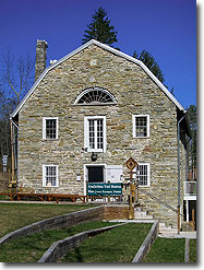
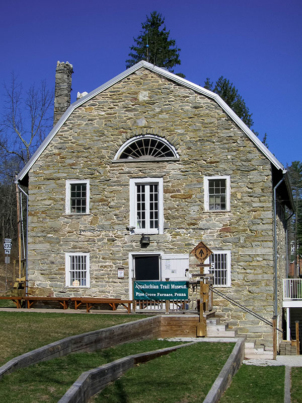
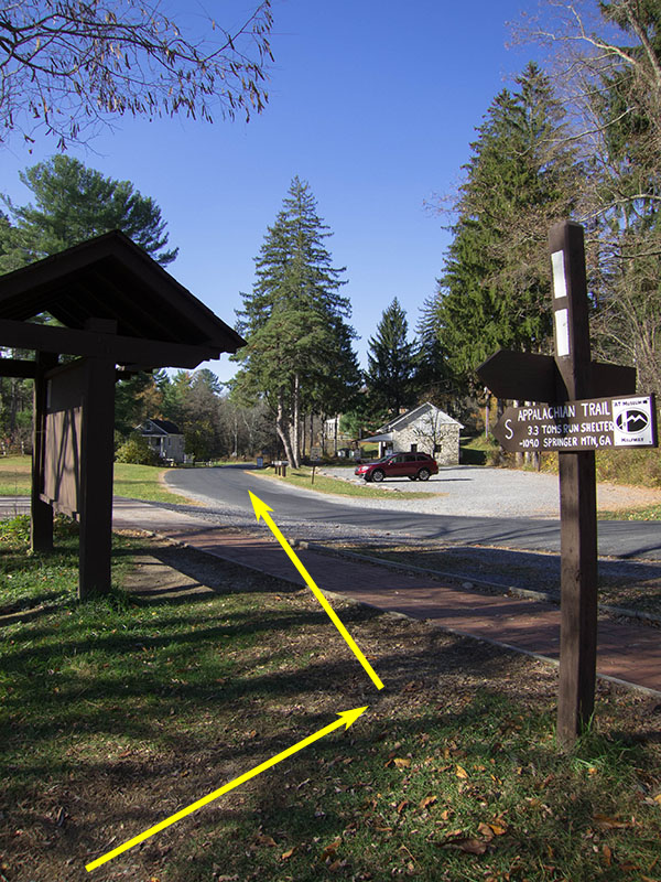
Located in Pennsylvania’s Michaux State Forest, Sunset Rocks includes many unique attractions along the trail, including 200-year-old buildings from the early days of Pennsylvania’s iron-working industry, artifacts from the Appalachian Trail’s construction at the Appalachian Trail Museum, and the chance for a stimulating ridgeline rock scramble to the Sunset Rocks themselves.
This trail can also be hiked in conjunction with the Camp Michaux trail, which explores the ruins of a former Civilian Conservation Corps (CCC) camp used to house German and Japanese prisoners of war during World War II.
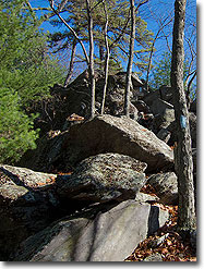
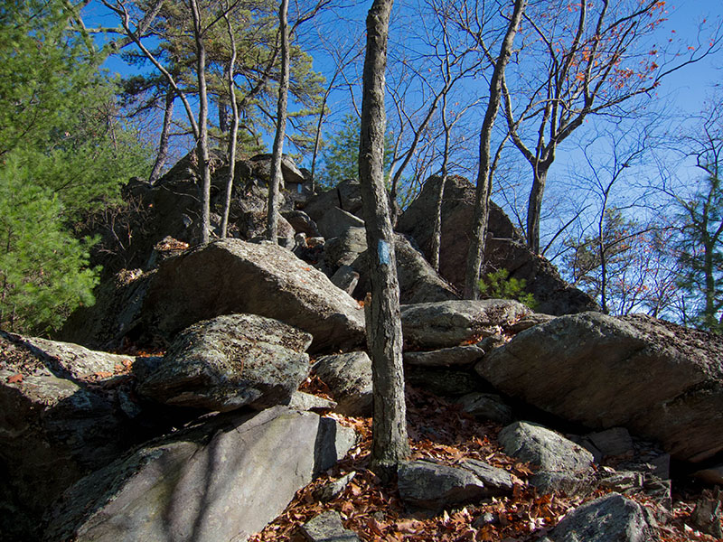
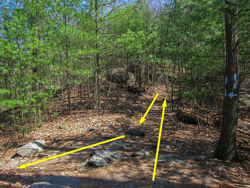
Note – The 0.4 mile rock scramble section includes several sections that require crossing over and climbing/descending through rock crevasses similar to those on Old Rag. This section of trail can be challenging for people with limited physical strength or mobility.
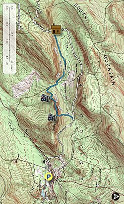
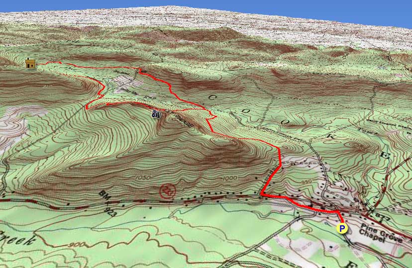
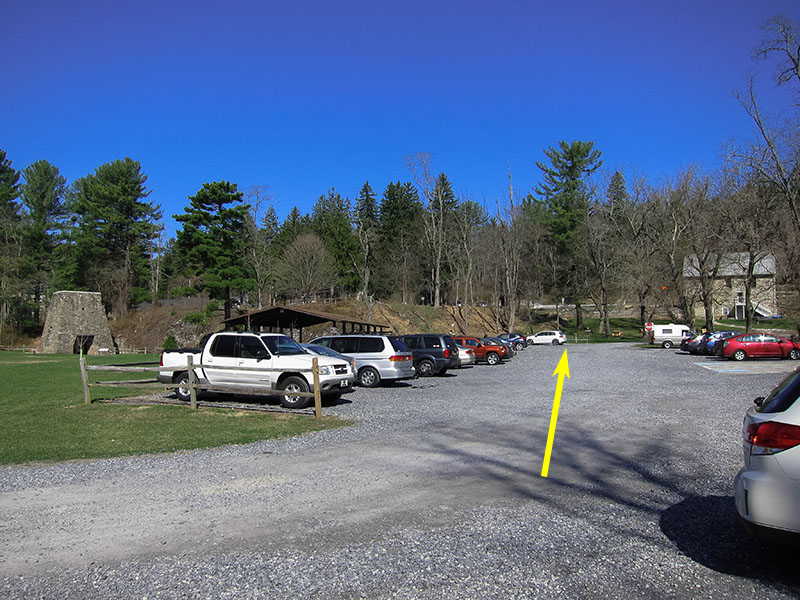
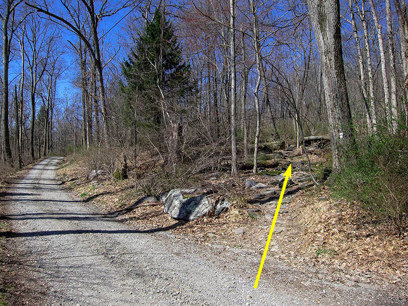
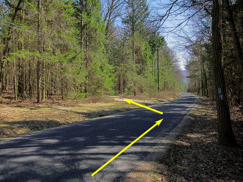
Mile 0.4 – Turn right as the AT leaves Pine Grove Road onto a gravel drive. The trail goes uphill past several cabins before entering Michaux State Forest.
Mile 1.8 – The AT briefly joins a gravel road for ~100 yards before leaving it to the right on a newly added section of trail. Turn right off the gravel road and continue on the AT. Note - older maps will show the AT following the road out to Michaux Road.
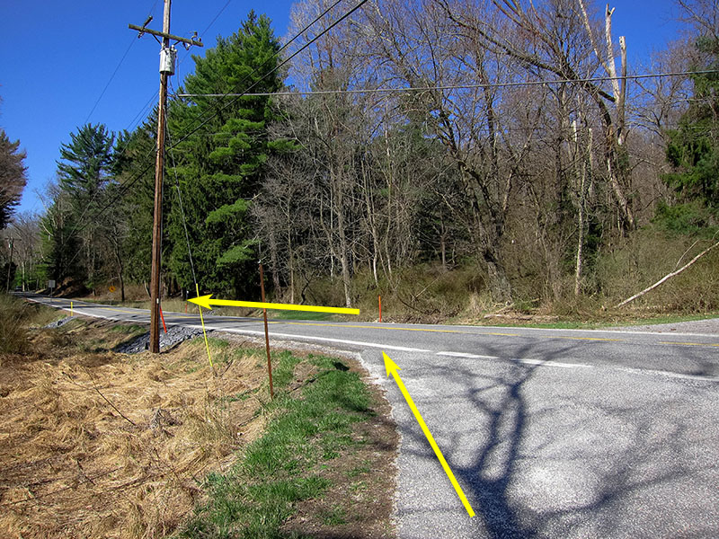
Mile 2.5 – The AT follows the new section of trail uphill through several large blackberry thickets to a small parking lot on Michaux Road. Cross the road and continue following the AT.
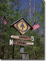
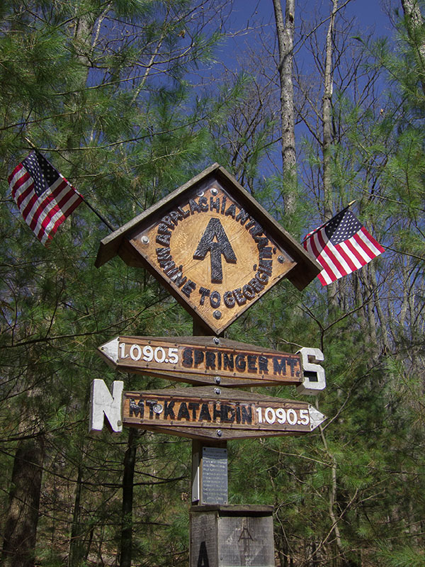
Mile 3.4 – The trail passes the Appalachian Trail Halfway Marker, which marks the approximate halfway point between either end of the AT. The exact halfway point between Georgia and Maine changes each year due to detours and shifts in the AT’s route along its ~2,200 mile length, but despite this the midpoint has remained relatively close to the marker’s present location.
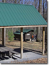
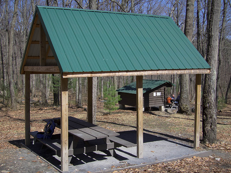
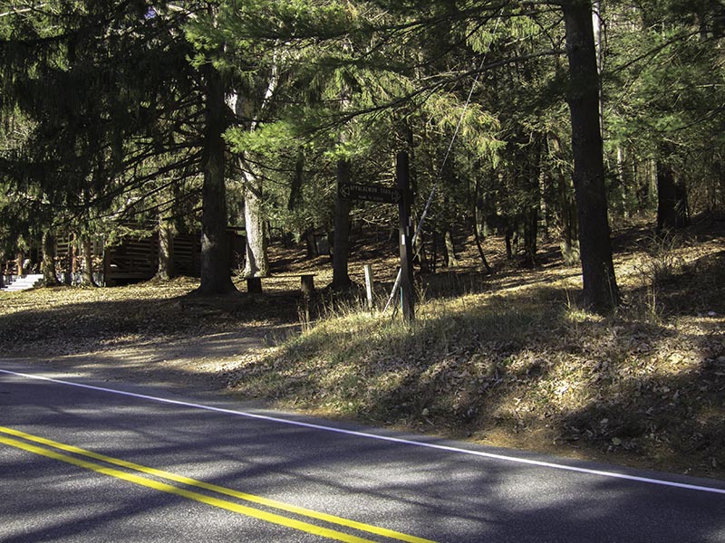
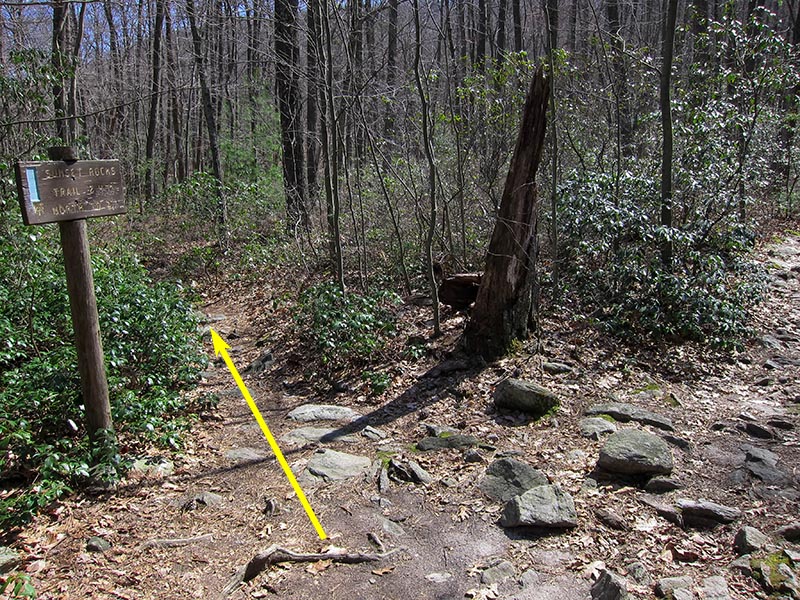
Mile 3.6 – The AT passes by Toms Run Shelter. Approximately 100 yards past the shelter the trail crosses a stream before reaching an intersection with the blue-blazed Sunset Rocks Trail. Turn left onto Sunset Rocks Trail. The trail heads east along the remains of an old forest road.
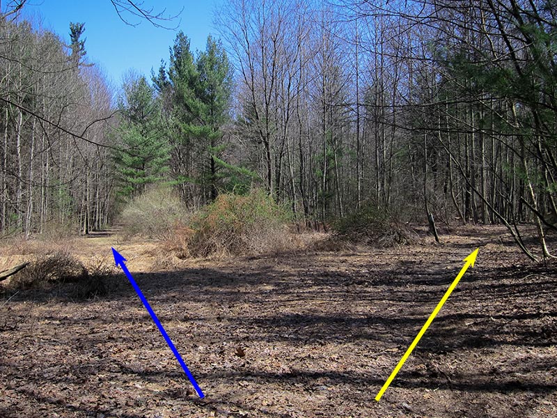
Mile 4.3 – The trail passes by a small clearing to the left. From this point you can choose to detour onto the ~2 mile Camp Michaux Trail and explore the ruins of an abandoned CCC camp used to house POWs during World War II. Please see the Camp Michaux Trail page for details. Otherwise, keep right and continue following the Sunset Rocks Trail.
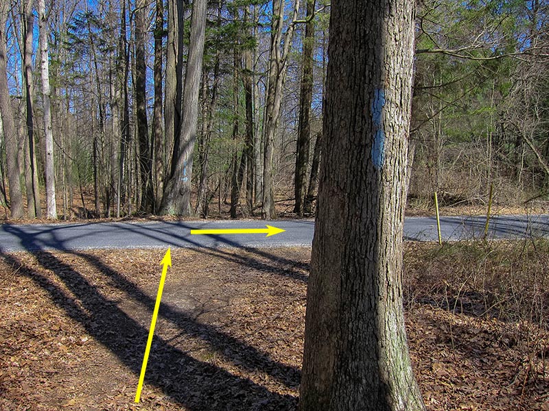
Mile 4.7 – Turn right as the trail joins with Michaux Road. Continue following the blue trail blazes along the road for ~300 yards.
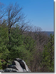
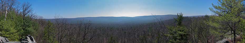
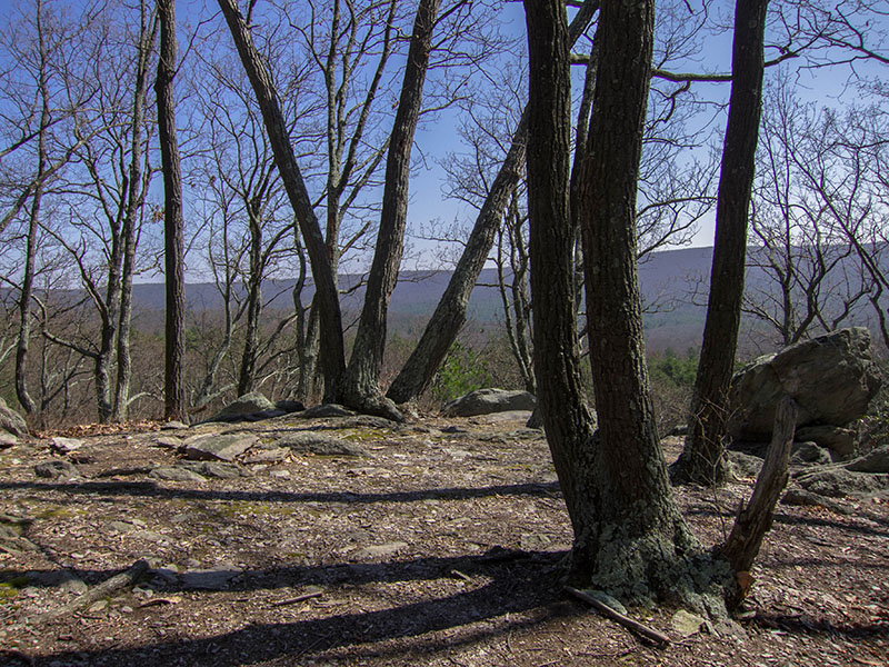
Mile 5.6 – After the rock scramble the trail comes to an intersection. Straight ahead is a ~100 yard side trail to the eponymous Sunset Rocks and a panoramic view to the south. After enjoying the view, return to the intersection and continue following the main trail as it steeply descends into the valley.
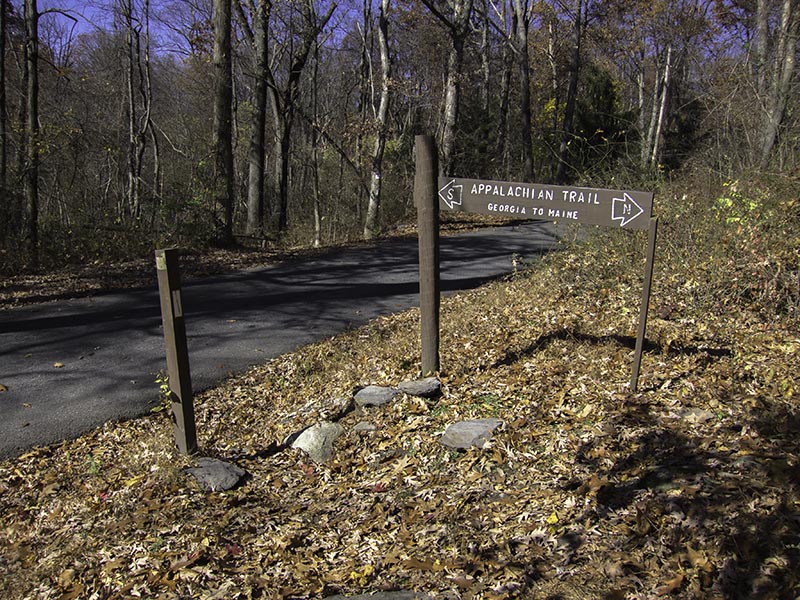
Mile 6.1 – Sunset Rocks Trail ends at the intersection with the AT previously passed at Mile 1.6. Turn right and rejoin the AT to return to Pine Grove Furnace.
Mile 7.3 – Turn left and follow the AT along Pine Grove Road. In ~200 yards turn right onto Bendersville Lane.
Did this as an overnight just for the fun of it. Enjoyed exploring Camp Michaux. There is a nice little camp site about 100 yds down the right side of the spillway. Doing the rock scramble was fun and the view from Sunset Rocks was beautiful. Quite a few people on this trail.
By:Robert
Rating:
Date of Hike: Wednesday, April 12, 2017
Wanted to hike part of the AT in Pennsylvania, and this spot wasn't too far from where I was staying. The trail directions on here were spot-on, and the hike was a little more strenuous than I had anticipated (especially the boulder scramble), but not bad at all. Parts of the AT on the approach to the halfway marker were flowing with water, so just a warning for anyone who didn't think they might get a little wet. Also, the Appalachian Trial Museum and the General Store are only open on weekends.
By:Sandy
Rating:
Date of Hike: Saturday, October 29, 2016
Great hike on a beautiful fall day. My hiking companion and I chose to drive a little further north (we live in the DC area) to get away from the Shenandoah crowds but still see some fall foliage. This was a great choice. We saw only a handful of other hikers all day. We got started at about 12:30, after a brief stop at the A.T. museum (only open April-October btw but worth checking out while you're there).
We actually did the loop in reverse order as listed on the trail description so that we could get to the Sunset Rocks overlook a little quicker to lunch there. I think I prefer this as the climb up, though steep, was much shorter than it would have been if we had done it in the opposite direction.
The view at Sunset Rocks is a nice reward, though getting there in the afternoon meant we were looking into the sun (duh, that's why it's called Sunset Rocks, right?) so not the best conditions for photos. I would guess a morning visit would be rewarded with a more scenic view. Also, with some leaves still on the trees the view was slightly blocked from being truly "panoramic". Definitely recommend standing on the rocks to the right side of the overlook to get the full impact of the view.
Heading out from there we hit the rock scramble, which was more substantial than I had hoped, and pretty fun. Like a mini Old Rag, but without the crowds! And nice views along the way, too.
The "small viewpoint" from the trail description was actually quite picturesque, with a great backdrop of autumn-colored leaves as well as the opposite ridgeline.
Once we hiked back down from the ridge, the remainder of the trail was a nice, fairly flat, stroll through the woods. Passing the half-way point on the AT is a pretty cool experience.
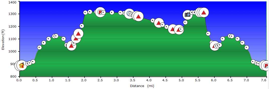
The time/distance in the description were spot-on, but the hiking app I use put the elevation change closer to 1100'.
Definitely suggest this as a hike that's away from the crowds, with some decent distance without extreme elevation changes. To shorten the hike by a couple miles without missing the ridgeline/overlooks/rock scramble, I would recommend using Michaux Rd. to cut off the western portion of the loop.


