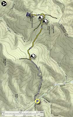
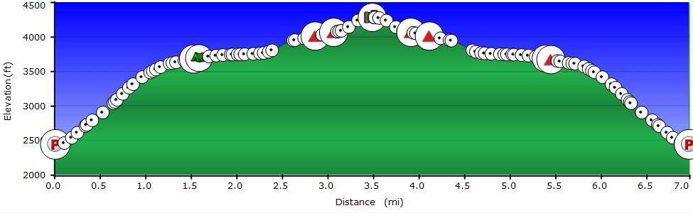
This hike is a tough workout. At 7 miles, and just over 2,000 vertical feet total gain, you climb over 1,000 feet of that in the first mile. Hardscrabble Knob is just one of several hikes in the Todd Lake area. Consider hiking several of them and car-camping at one of the many sites along FR95, or at one of Todd Lake Recreation Area's great campsites.
A great way to spend the weekend is to camp along North River and hike south along the Wild Oak Trail to Hardscrabble Knob one day, then hike up to the Little Bald Knob Ridge from the camping area the next. There are also several other hikes located in this trail system within a 10 minute drive, including Trimble Mountain, North River Gorge, and Sand Spring Mountain.
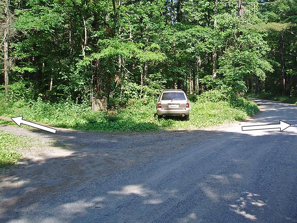
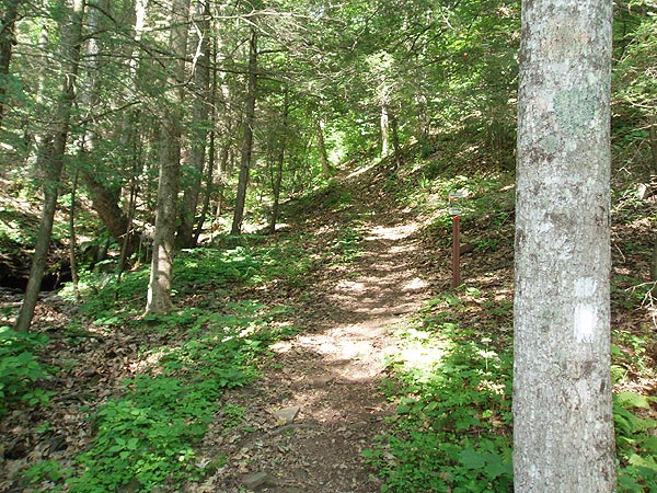
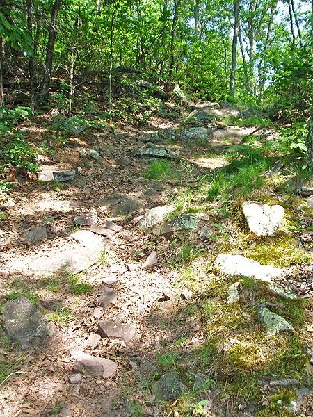
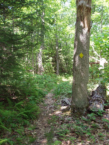
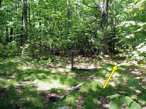
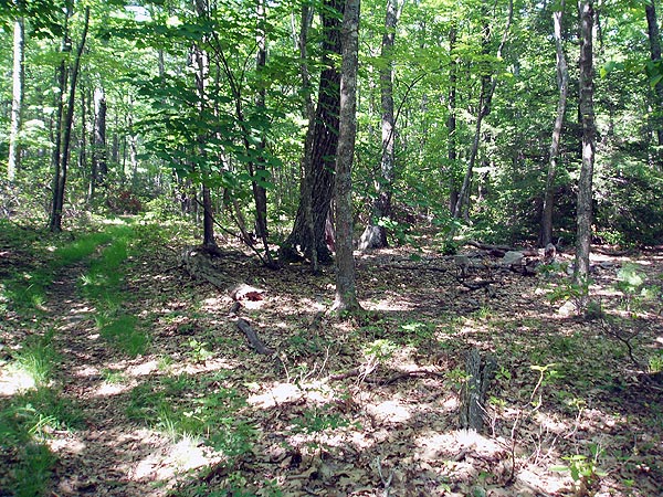
From the Camp Todd forestry sign and parking area head west on a small dirt road (Camp Todd sign side of FR95) for 30 yards until the dirt road turns right. Now stay straight on the smaller white blazed Wild Oak Trail, and in 50 yards pass one of only a few faded white blazes and forestry service sign marking the trail. At this point the trail begins its long climb up through the gorge and along Springhouse Ridge. The trail makes several small switchbacks before beginning to level off at 1.2 miles. At 1.5 miles from the hike start point arrive at the intersection of the Little Bald Knob Trail.
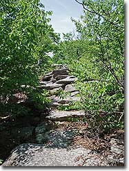
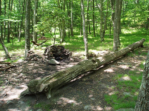
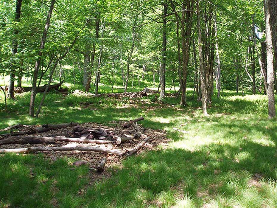
In another 25 yards the trail splits. Taking the right fork, that looks like a washed out trail section, heads the more direct route. Taking the left fork makes a small detour to one of the prettiest high mountain campsites in the area. Thick grass and fern surround the site in the warmer months. This campsite is also less rocky than the one at Hiner Spring. In 20 yards past the campsite the trails re-join before making a quick switchback over a small burn, and arriving at the trail junction to Hardscrabble Knob.
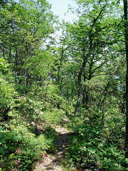
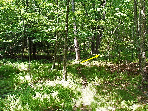
Turn left uphill towards Hardscrabble Knob following the trail for 0.5 miles. Just below the summit pass an abandoned cabin and small high mountain campsite and in 30 yards the trail turns to the left. Pass through the steel ruins of an old lookout tower and climb 15 feet through a seam in the rocks to the summit.
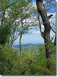
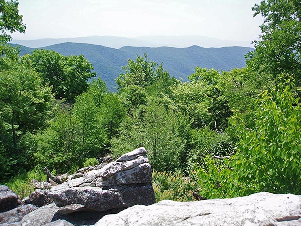
Scramble to the right along the rocky ridge line for 75 yards to the overlook, passing a USGS marker at about halfway that was placed there in 1957. From the overlook you can see Elliot Knob at at 190° in the distance, the highest peak in the GWNF. The undulating ridge immediately in the foreground is Bald Ridge, part of the Ramsey's Draft hike.
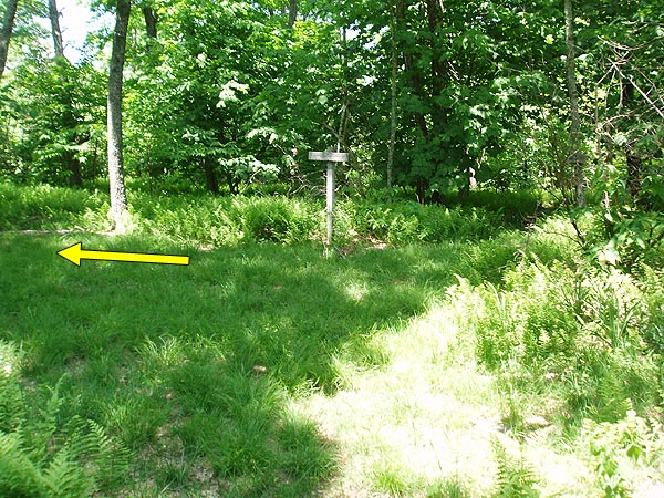
This is an out and back hike so to return retrace your steps. NOTE: Be alert at Hiner Spring not to miss the return trail to the left marked by an old sign on a tree.
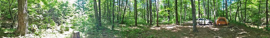
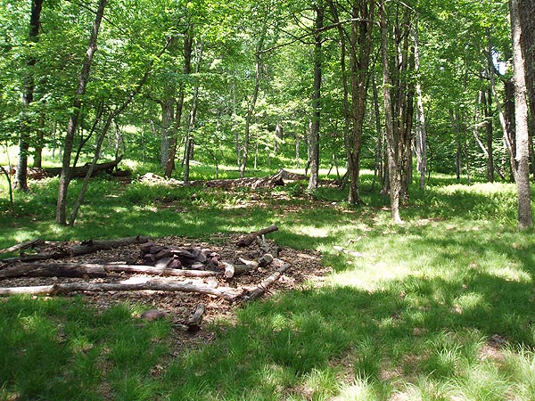
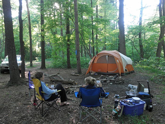
Camp Todd/North River Car Camping 360°
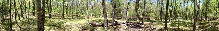
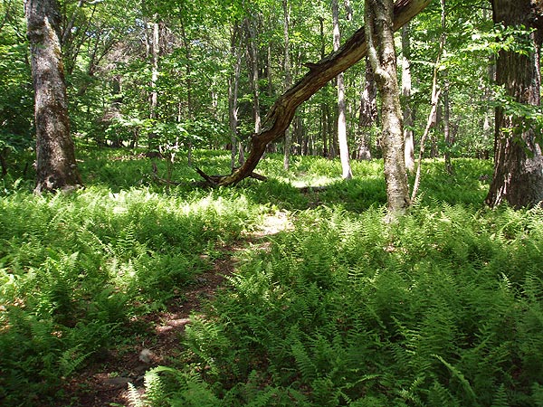
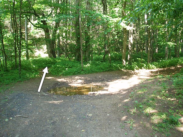
Hiner Spring Area 360°
Mid June
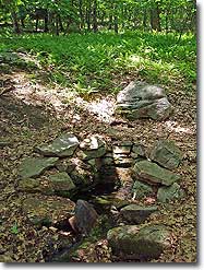
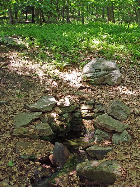
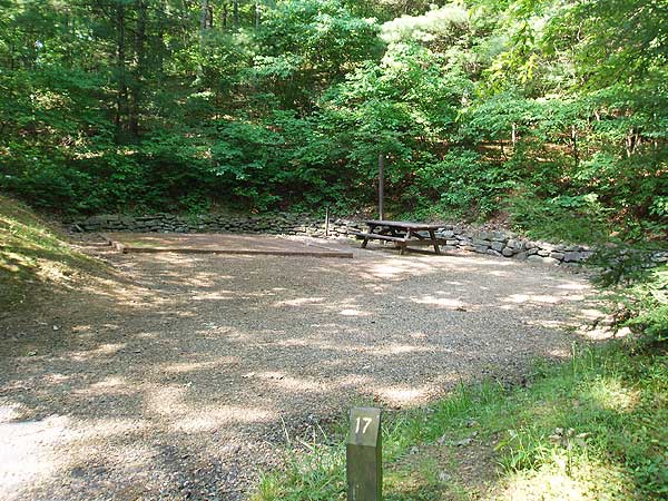
Hiner Spring
Hardscrabble Knob Hike Comments
Archived Comments
By:The Mayne Line
Rating:
Date of Hike: Saturday, August 11, 2018
I wanted a good intro backpack for my two daughters 19 & 27. This proved to be just the ticket. We walked it counter clockwise. We did get our feet wet straight out of the gate at the initial crossing of Ramseys draft. Perhaps we could have found a more shallow crossing. Then it was fairly straight going.
The trail got was not marked very well around Gordons Peak. I believe this is where we had a bit of a scramble up some rocky outcrops.
As the other reviews said: There is a good amount of poison ivy on this trail. No water available on this side of the hill. (There is a pond. I personally would not drink it unless I was VERY thirsty.) We were not moving very quickly. It took us 7 hours to walk from parking lot to Hiner Spring
We camped at Hiner Spring. Very nice. We had the place to ourselves. We only saw 2 hikers in the parking lot. No one else on the trail the whole weekend.
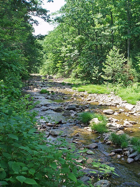
Coming out of Hiner Spring the trail is very rocky and NOT marked. The first mile or so is "interesting" in a rocky sort of way. We did not see a single blaze the length of Ramseys draft. Most of the time we were ok. There was one point about 3 miles out of Hiner Spring, the trail crossed the Ramseys draft we did not. We were able to pick the trail back up.
Yes stinging nettles where abundant, but with long pants we did not have any trouble. Hiking poles are VERY useful for all the stream crossings. No, you cannot not keep you feet dry on day 2. Took about 5 hours to hike down without stopping.
Over all a great intro to hiking for my daughters. Very pretty walk in the woods. No great vistas but a few peek-a-boos. Lovely creek. Getting mildly lost and not freaking out is a good lesson. Many very cool looking mushrooms. We did see a bit of bear scat. We saw the remains of a baby black bear. Not sure what got it. I got what I wanted. Great two days with my daughters. Somewhat physically challenging but not gonna kill you.
By:Brian
Rating:
Date of Hike: Saturday, March 26, 2016
A short but tough hike with a decent view at the end. I hiked this on a beautiful spring Saturday with 12 friends from Central Virginia Trailblazers as part of our "CVT Knobsession 2016" series of hikes. Except for a few campers, we were the only ones on the trail. The directions were pretty accurate, but some folks calculated the total distance as being closer to 8 miles. It took us about 4 hours to get to the top and back including a 20 minute break for lunch.
By:eshank24
Rating:
Date of Hike: Friday, August 17, 2012
I hiked this trail Friday late afternoon, spent the night at a campsite a half mile below hardscrabble knob, and hiked back down Saturday morning. The first mile of this hike is no joke, it's almost straight up the whole way with only a few switchbacks to make it a little easier. It's very very tough at the start, and then the trail starts to gradually flatten out as you near the top. Make sure to take the right fork at the "wilderness behind this sign" sign, even though the white blazed trail goes left. The campsites near the top are beautiful and are really nice places to unload your stuff. There's a decent view on the top, though it's nothing spectacular. Also, true to the trail ratings, there are no streams or running water anywhere along the way so be sure to bring plenty of water. If you can handle a harsh first mile of uphill trail, it's a really nice hike, and the day I was there, almost nobody else was great solitude.
By:Stauby
Rating:
Date of Hike: Sunday, June 7, 2009
This hike earns its name. It was a bad start when I realized I'd left the topographical map and the directions on my kitchen table, but by then I was on FR95. By the time I'd found the trailhead, it was already 3:30 . . . but I was determined to push it and be back to the car by 7:45PM. The first 1.2 miles is a killer, but with 2 poles it was just a good, steady cardio workout.
My troubles began at an intersection with an old, half eaten sign that said "Wilderness Ahead". I wasn't sure if it was the intersection to turn right, so I stayed on the better traveled white blazed trail. Apparently, wrong decision. My best guess is that I hiked to Big Bald Knob. There was no abandoned cabin, and no steel tower ruins. I hiked up (and up and up) until the trail suddenly went down. That's when I assumed I was descending down the back side of Big Bald Knob.
I will hike this again this summer. It was a long drive (2.5 hours), and by the time I got back to the intersection it was already 6:20 so I kept descending . . . huge bummer. Views were limited, and the insects were unbelievable. DEET was an turn on for them . . . I'll bring a net next time just to keep the dive bombers out of my ears and mouth. I also saw fresh (1-2 day old) bear scat, which for a late afternoon solo hike was interesting.


